MyTopo
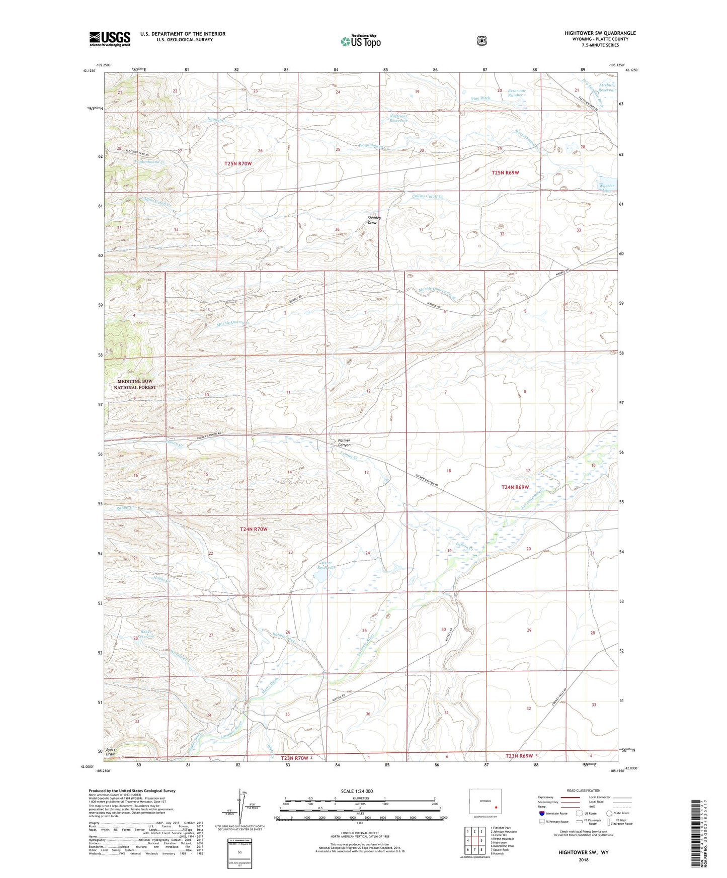
Hightower SW Wyoming US Topo Map
Couldn't load pickup availability
Also explore the Hightower SW Forest Service Topo of this same quad for updated USFS data
2021 topographic map quadrangle Hightower SW in the state of Wyoming. Scale: 1:24000. Based on the newly updated USGS 7.5' US Topo map series, this map is in the following counties: Platte. The map contains contour data, water features, and other items you are used to seeing on USGS maps, but also has updated roads and other features. This is the next generation of topographic maps. Printed on high-quality waterproof paper with UV fade-resistant inks.
Quads adjacent to this one:
West: Reese Mountain
Northwest: Fletcher Park
North: Johnson Mountain
Northeast: Lewis Flat
East: Hightower
Southeast: Natwick
South: Squaw Rock
Southwest: Moonshine Peak
This map covers the same area as the classic USGS quad with code o42105a2.
Contains the following named places: Attebury Reservoir, Bohke Reservoir, Bohnke Dam, Collins Cutoff Creek, Cramer Ditch, Dugout Creek, Hobbs Creek, J N Mertz Dam, Lucky Gus Prospect, Luman Creek, Marble Quarry Creek, May Number One Quarry, Mertz Ditch, Mertz Number 2 Dam, Mertz Reservoir, Mertz Reservoir Number 2, Naffziger Dam, Naffziger Reservoir, Paradise Creek, Pine Ditch, Rabbit Creek, Reservoir Number 1, Shapley Draw, Slate Creek, Slate Creek School, Wagonhound Creek, Wedemeyer School, Wheeler Lake, ZIP Code: 82201