MyTopo
Joseph Peak Wyoming US Topo Map
Couldn't load pickup availability
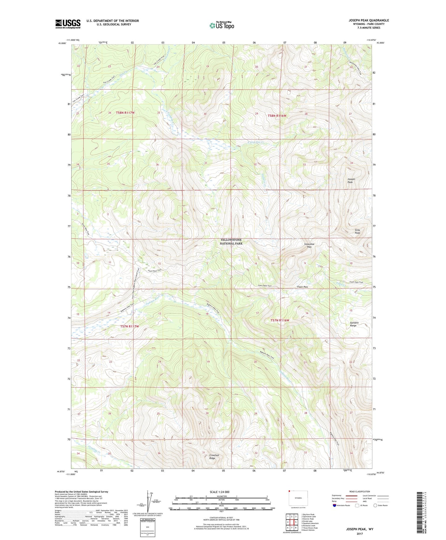
2021 topographic map quadrangle Joseph Peak in the state of Wyoming. Scale: 1:24000. Based on the newly updated USGS 7.5' US Topo map series, this map is in the following counties: Park. The map contains contour data, water features, and other items you are used to seeing on USGS maps, but also has updated roads and other features. This is the next generation of topographic maps. Printed on high-quality waterproof paper with UV fade-resistant inks.
Quads adjacent to this one:
West: Divide Lake
Northwest: Big Horn Peak
North: Sportsman Lake
Northeast: Electric Peak
East: Quadrant Mountain
Southeast: Mount Holmes
South: Three Rivers Peak
Southwest: Richards Creek
This map covers the same area as the classic USGS quad with code o44110h8.
Contains the following named places: Bighorn Pass Trail, Crowfoot Ridge, East Fork Fan Creek, Fawn Pass, Fawn Pass Trail, Gallatin Range, Gray Peak, Joseph Peak, North Fork Fan Creek, Snowshoe Pass, Stellaria Creek