MyTopo
Leo Wyoming US Topo Map
Couldn't load pickup availability
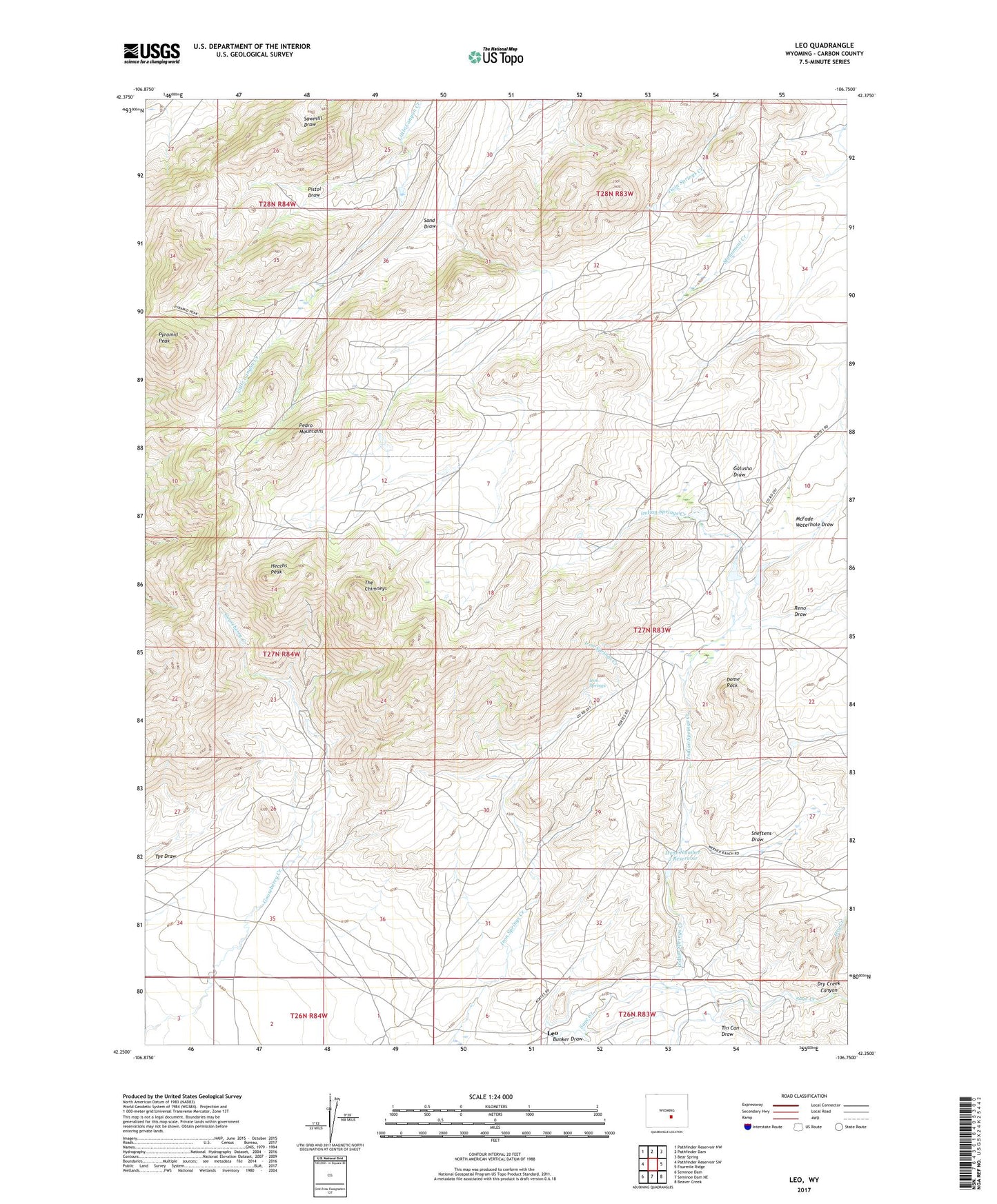
2021 topographic map quadrangle Leo in the state of Wyoming. Scale: 1:24000. Based on the newly updated USGS 7.5' US Topo map series, this map is in the following counties: Carbon. The map contains contour data, water features, and other items you are used to seeing on USGS maps, but also has updated roads and other features. This is the next generation of topographic maps. Printed on high-quality waterproof paper with UV fade-resistant inks.
Quads adjacent to this one:
West: Pathfinder Reservoir SW
Northwest: Pathfinder Reservoir NW
North: Pathfinder Dam
Northeast: Bear Spring
East: Fourmile Ridge
Southeast: Beaver Creek
South: Seminoe Dam NE
Southwest: Seminoe Dam
This map covers the same area as the classic USGS quad with code o42106c7.
Contains the following named places: Becky Lynn Claim, Big Bug Claim, Bunker Draw, Canyon Claims Number One, Cardinell Number 2 Dam, Cardinell Number 2 Reservoir, Chim Claims, Combs Ranch, Dome Rock, Dome Rock Reservoir, Doozle Number Three Mine, Dry Creek, Dry Creek Canyon, Galusha Draw, Hard Head Mine, Heath Peak Claim Number One, Heath Peak Claims Number Three, Heath Peak Claims Number Two, Heaths Peak, Indian Creek Dam, Indian Creek Reservoir, Indian Grove Ranch, Indian Springs Creek, Irene Number 2 Dam, Irene Number 2 Reservoir, Irene Ranch, Iron Springs, Leo, Little Man Mine, McFade Waterhole Draw, Omega Claim Group Mine, Pedro Mountains, Peters Ranch, Pistol Draw, Prospect Incline Mine, Pyramid Peak, Reno Draw, Sneftens Draw, Terry Dean Claims, The Chimneys, Tin Can Draw