MyTopo
Onion Gulch Wyoming US Topo Map
Couldn't load pickup availability
Also explore the Onion Gulch Forest Service Topo of this same quad for updated USFS data
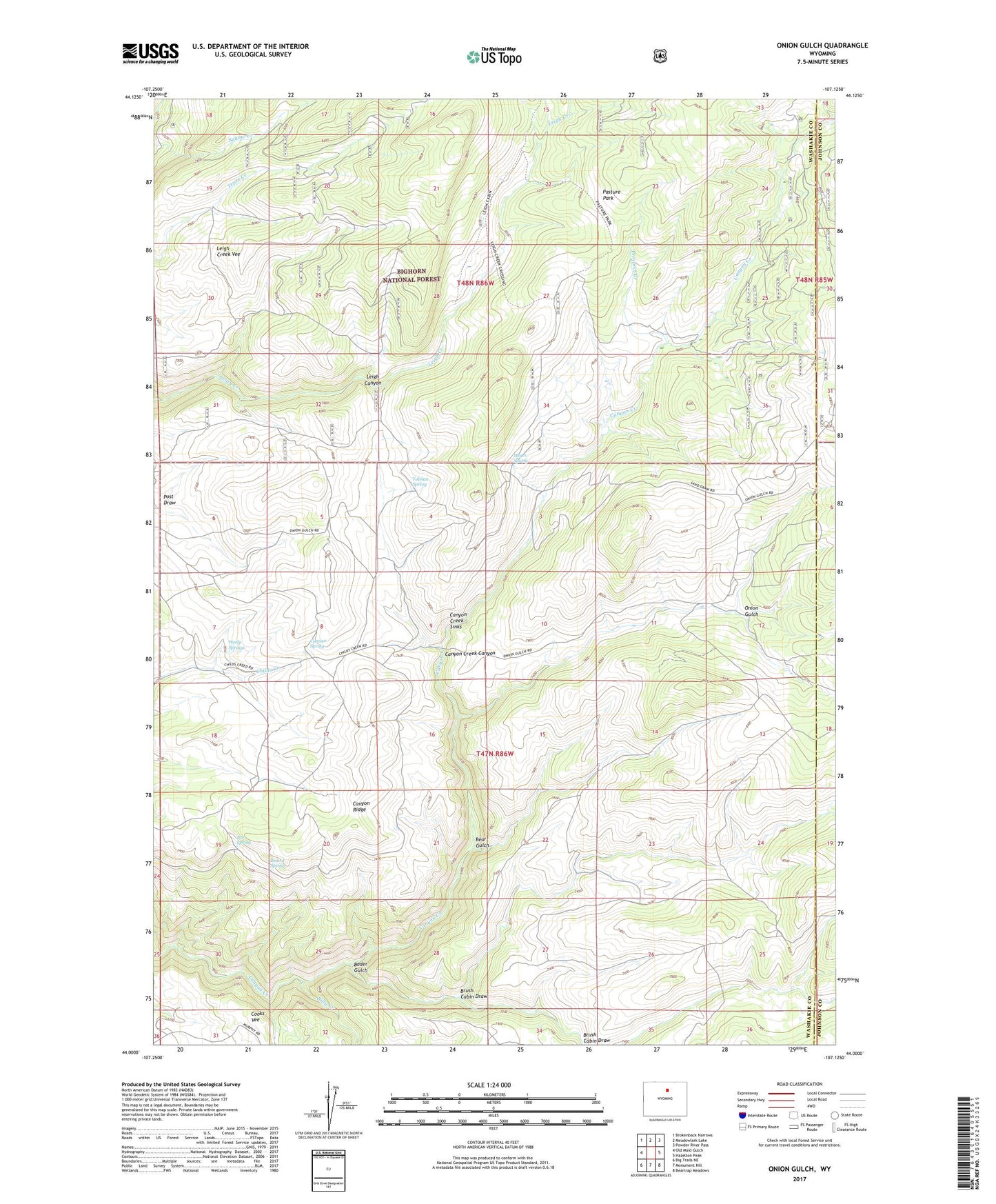
2023 topographic map quadrangle Onion Gulch in the state of Wyoming. Scale: 1:24000. Based on the newly updated USGS 7.5' US Topo map series, this map is in the following counties: Washakie, Johnson. The map contains contour data, water features, and other items you are used to seeing on USGS maps, but also has updated roads and other features. This is the next generation of topographic maps. Printed on high-quality waterproof paper with UV fade-resistant inks.
Quads adjacent to this one:
West: Old Maid Gulch
Northwest: Brokenback Narrows
North: Meadowlark Lake
Northeast: Powder River Pass
East: Hazelton Peak
Southeast: Beartrap Meadows
South: Monument Hill
Southwest: Big Trails NE
This map covers the same area as the classic USGS quad with code o44107a2.
Contains the following named places: Bader Gulch, Basset Cabin, Beaird Spring, Bear Gulch, Billy Creek, Box Spring, Brush Cabin Draw, Camino Spring, Canyon Creek Claim Mine, Canyon Creek Cow Camp, Canyon Creek Mine, Canyon Creek Sinks, Canyon Creek Talc Mine, Canyon Ridge, Hatfield Cabin, Healy Springs, Lyman Cow Camp, Moses Homestead, Moses Spring, Onion Gulch, Pasture Park, Prospect Creek, Rice Cow Camp, Tolman Homestead, Tolman Spring, Toms Cabin