MyTopo
Gardendale Alabama US Topo Map
Couldn't load pickup availability
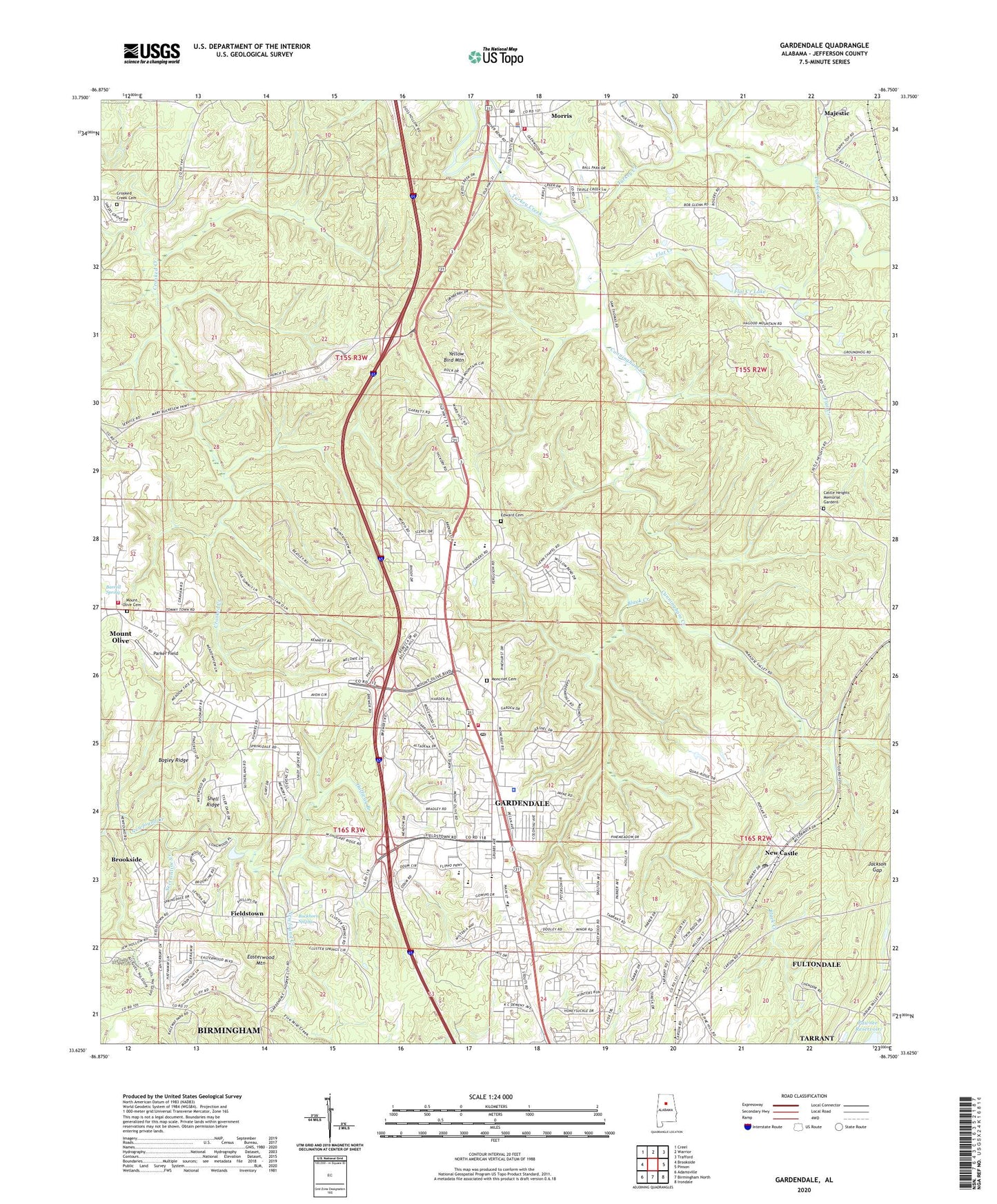
2024 topographic map quadrangle Gardendale in the state of Alabama. Scale: 1:24000. Based on the newly updated USGS 7.5' US Topo map series, this map is in the following counties: Jefferson. The map contains contour data, water features, and other items you are used to seeing on USGS maps, but also has updated roads and other features. This is the next generation of topographic maps. Printed on high-quality waterproof paper with UV fade-resistant inks.
Quads adjacent to this one:
West: Brookside
Northwest: Creel
North: Warrior
Northeast: Trafford
East: Pinson
Southeast: Irondale
South: Birmingham North
Southwest: Adamsville
This map covers the same area as the classic USGS quad with code o33086f7.
Contains the following named places: Alabama Mine, Bagley Ridge, Barrell Spring, Beechwood Church, Black Creek, Braggs Junior High School, Buckhorn Spring, Castle Heights Church, Castle Heights Memorial Gardens, City of Gardendale, Clift Mines, Cluster Spring Church, Cosmo Mine, Crooked Creek Cemetery, Cunningham, Cunningham Creek, Desoto, Eagle Mills, Easterwood Mountain, Ebenezar Church, Edward Cemetery, Eldorda Number 2 Mine, Enon Baptist Church, Evangel Assembly of God Church, Fedora, Fieldstown, Fieldstown Church, Flat Creek, Flat Creek Lake, Flat Creek Lake Dam, Fultondale High School, Gardendale, Gardendale Commercial School, Gardendale Division, Gardendale Elementary School, Gardendale Fire and Rescue, Gardendale First Assembly of God Church, Gardendale First Baptist Church, Gardendale High School, Gardendale Post Office, Glenns Chapel, Glenwood Church, Grahams Chapel, Grahams Mill, Graves Mine, Grimestown, Gum Springs Church, Halfway Branch, Indio, Jackson Gap, Jugtown, Majestic, Milner Mine, Mineral Branch, Moncrief Cemetery, Morris, Morris Elementary School, Morris North Mine, Morris Post Office, Morris United Methodist Church, Morris Volunteer Fire Department, Mount Olive, Mount Olive Cemetery, Mount Olive Census Designated Place, Mount Olive Church, Mount Olive Fire and Rescue District Station 1, Mount Olive Junior High School, New Castle, New Castle Community House, New Castle Elementary School, New Castle Post Office, North Gardendale Church, Oak Grove Freewill Baptist Church, Parker Field, Pawnee Reservoir, Pineywood Church, Quail Ridge Country Club, Rogers Area Vocational School, Roto Wing Inc Airport, Sectionline Creek, Shady Grove Church, Shell Ridge, Snow Roberts School, Spring, Town of Morris, Valley Green Shopping Center, Village Green Shopping Center, Wildcat Stadium, Yellow Bird Mountain, ZIP Codes: 35071, 35116, 35119


