MyTopo
Lowndesboro Alabama US Topo Map
Couldn't load pickup availability
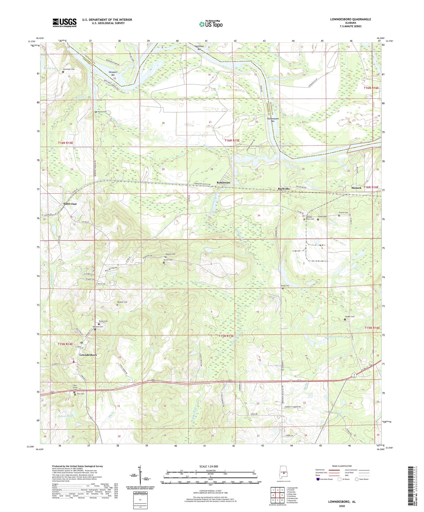
2024 topographic map quadrangle Lowndesboro in the state of Alabama. Scale: 1:24000. Based on the newly updated USGS 7.5' US Topo map series, this map is in the following counties: Lowndes, Autauga. The map contains contour data, water features, and other items you are used to seeing on USGS maps, but also has updated roads and other features. This is the next generation of topographic maps. Printed on high-quality waterproof paper with UV fade-resistant inks.
Quads adjacent to this one:
West: White Hall
Northwest: Autaugaville
North: Forester
Northeast: Prattville
East: Cantelous
Southeast: Letohatchee
South: Hayneville
Southwest: Gordonsville
This map covers the same area as the classic USGS quad with code o32086c5.
Contains the following named places: Alexander Cemetery, Bear Creek, Berry Lake, Bethel Church, Billdee Creek, Brown Cemetery, Burkville, Burkville Post Office, Camp Manack, Canaan Hill Church, Christ Church, Deacon Hill Church, Dickens Pond, Dry Creek, Fice Cemetery, Graves Cemetery, Haigler Cemetery, Huffman Bar, Lambert School, Lowndes Academy, Lowndes County Sanitary Landfill, Lowndesboro, Lowndesboro Post Office, Lowndesboro Volunteer Fire Department, Lowndesport, Manack, Mcqueens Dam, McQueens Pond, Meadow Cemetery, Meadows Mill, Mills, Mount Canaan Church, Mount Olive Church, Newport Bar, Newport Landing, Nichols Dam, Nichols Lake, North Lowndes Church, Oakview Cemetery, Pine Grove Cemetery, Pleasant Hill School, Powell Cemetery, Powell Creek, Reese Dam, Robinsons, Rock Creek Baptist Church, Rock Creek School, Rocky Branch, Saint Clair, Saint Clair Post Office, Saint Pauls Church, Stone Cemetery, Tallawassee Bar, Tallawassee Creek, Tensaw Creek, Town of Lowndesboro, Turner Cemetery, Union Church, Union School, Varners Store, Wooten Cemetery, Yankee Town Cemetery, York Lake, York Number 2 Dam, Young Cemetery