MyTopo
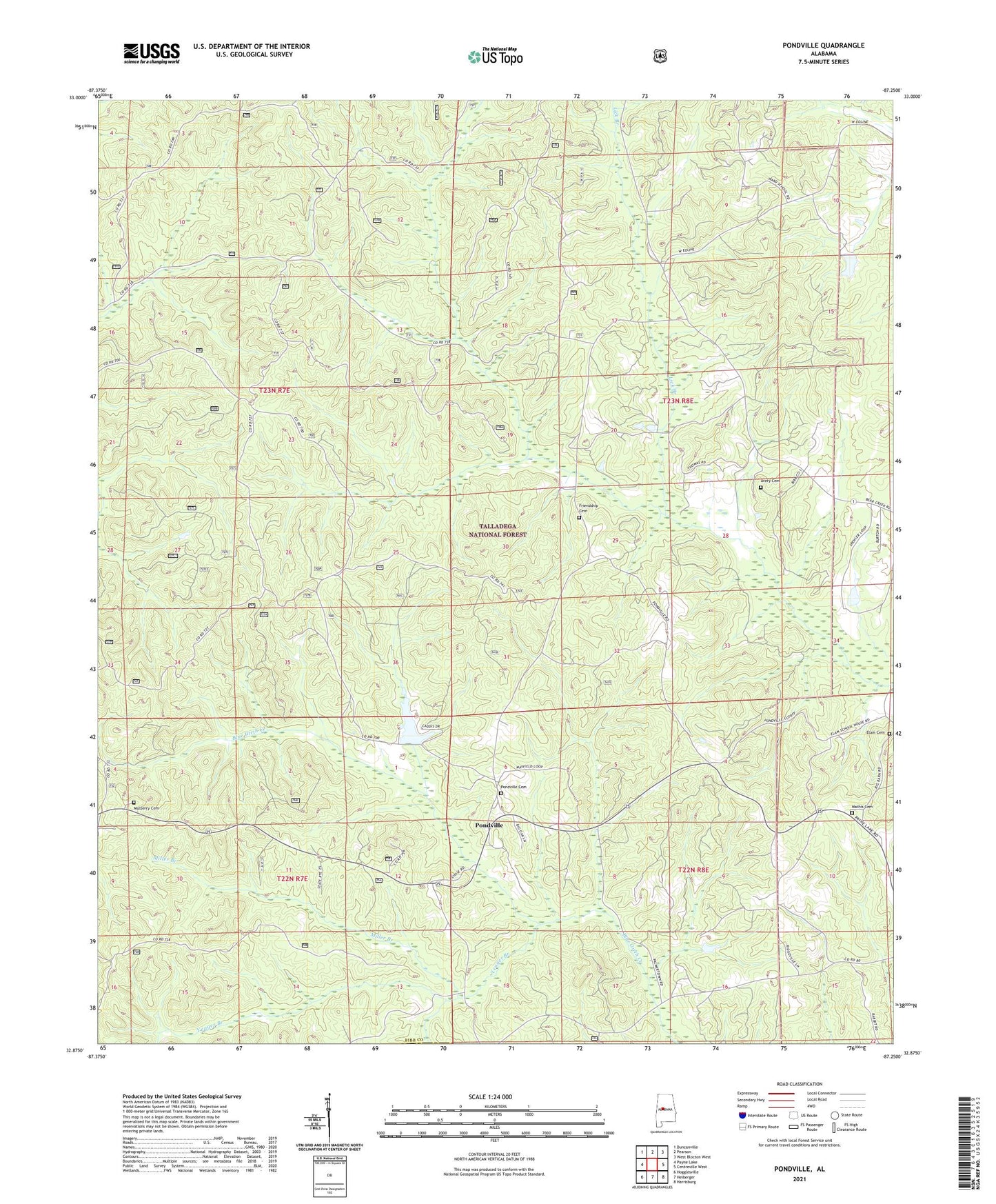
Pondville Alabama US Topo Map
Couldn't load pickup availability
Also explore the Pondville Forest Service Topo of this same quad for updated USFS data
2024 topographic map quadrangle Pondville in the state of Alabama. Scale: 1:24000. Based on the newly updated USGS 7.5' US Topo map series, this map is in the following counties: Bibb, Perry. The map contains contour data, water features, and other items you are used to seeing on USGS maps, but also has updated roads and other features. This is the next generation of topographic maps. Printed on high-quality waterproof paper with UV fade-resistant inks.
Quads adjacent to this one:
West: Payne Lake
Northwest: Duncanville
North: Pearson
Northeast: West Blocton West
East: Centreville West
Southeast: Harrisburg
South: Heiberger
Southwest: Hogglesville
This map covers the same area as the classic USGS quad with code o32087h3.
Contains the following named places: Avery Cemetery, Caddis Lake Dam, Data, Elam Cemetery, Eoline Volunteer Fire Department Station 2, Friendship Cemetery, Friendship Church, Kornegay Lake, Kornegay Lake Dam, Lake Ponderosa, Lick Branch, Mathis Cemetery, Miller Branch, Mulberry Cemetery, Mulberry Missionary Baptist Church, Pondville, Pondville Baptist Church, Pondville Cemetery, Pondville Lookout Tower, Pondville United Methodist Church, Ridgeville Church, Union Grove Baptist Church, Yeager Branch, ZIP Code: 35034