MyTopo
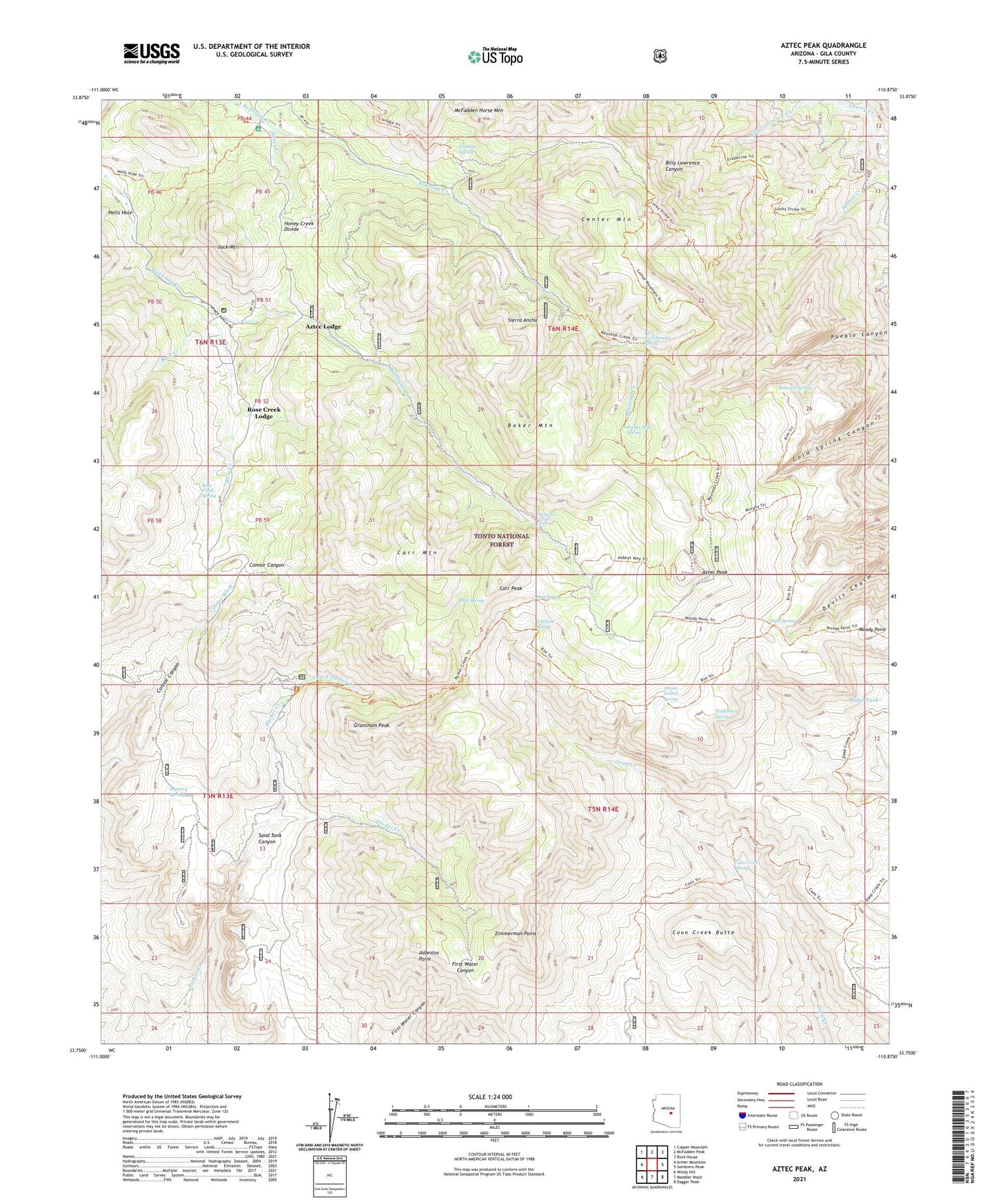
Aztec Peak Arizona US Topo Map
Couldn't load pickup availability
Also explore the Aztec Peak Forest Service Topo of this same quad for updated USFS data
2021 topographic map quadrangle Aztec Peak in the state of Arizona. Scale: 1:24000. Based on the newly updated USGS 7.5' US Topo map series, this map is in the following counties: Gila. The map contains contour data, water features, and other items you are used to seeing on USGS maps, but also has updated roads and other features. This is the next generation of topographic maps. Printed on high-quality waterproof paper with UV fade-resistant inks.
Quads adjacent to this one:
West: Armer Mountain
Northwest: Copper Mountain
North: McFadden Peak
Northeast: Rock House
East: Sombrero Peak
Southeast: Dagger Peak
South: Meddler Wash
Southwest: Windy Hill
This map covers the same area as the classic USGS quad with code o33110g8.
Contains the following named places: Armer Ranch, Armor Corral Spring, Asbestos Point, Aztec Lodge, Aztec Peak, Baker Mountain, Bear Creek, Billy Lawrance Trailhead, Bull Canyon Trailhead, Carr Mountain, Carr Peak, Carr Trailhead, Cascade Campground, Center Mountain, Cienega Spring, Cienega Trailhead, Coon Creek Butte, Coon Creek Spring, Coon Spring Trail, Creekside Campground, Deer Creek, Edward Spring, Falls Campground, Grantham Peak, Haldi Ranch, Honey Creek, Honey Creek Divide, Horse Camp Creek, Hunt Spring, Jack Mountain, Knoles Hole Spring, Lucky Strike Mine, McFadden Creek, Mesa Tank, Moody Point, Moody Trailhead, Mud Spring, Murphy Ranch, Murphy Tank, Murphy Trailhead, Mystery Spring, Never Go Dry Tank, North Fork Parker Creek, Oak Creek Trailhead, Parker Creek Experiment Station, Parker Creek Trailhead, Peterson Ranch, Peterson Trailhead, Pocket Creek, Pueblo Mine, Reynolds Creek Recreation Site, Reynolds Creek Trailhead, Reynolds Trailhead, Ridge Tank, Rock Spring, Rose Creek, Rose Creek Campground, Rose Creek Lodge, Rose Creek Spring, Sand Tank Canyon, Sierra Ancha Experimental Forest, Sierra Ancha Wilderness, South Fork Parker Creek, Tanner Ranch, Tewksbury Spring, The Switchbacks Spring, Trailside Spring, Workman Creek Falls, YMCA Camp, Zimmerman Point


