MyTopo
Sombrero Peak Arizona US Topo Map
Couldn't load pickup availability
Also explore the Sombrero Peak Forest Service Topo of this same quad for updated USFS data
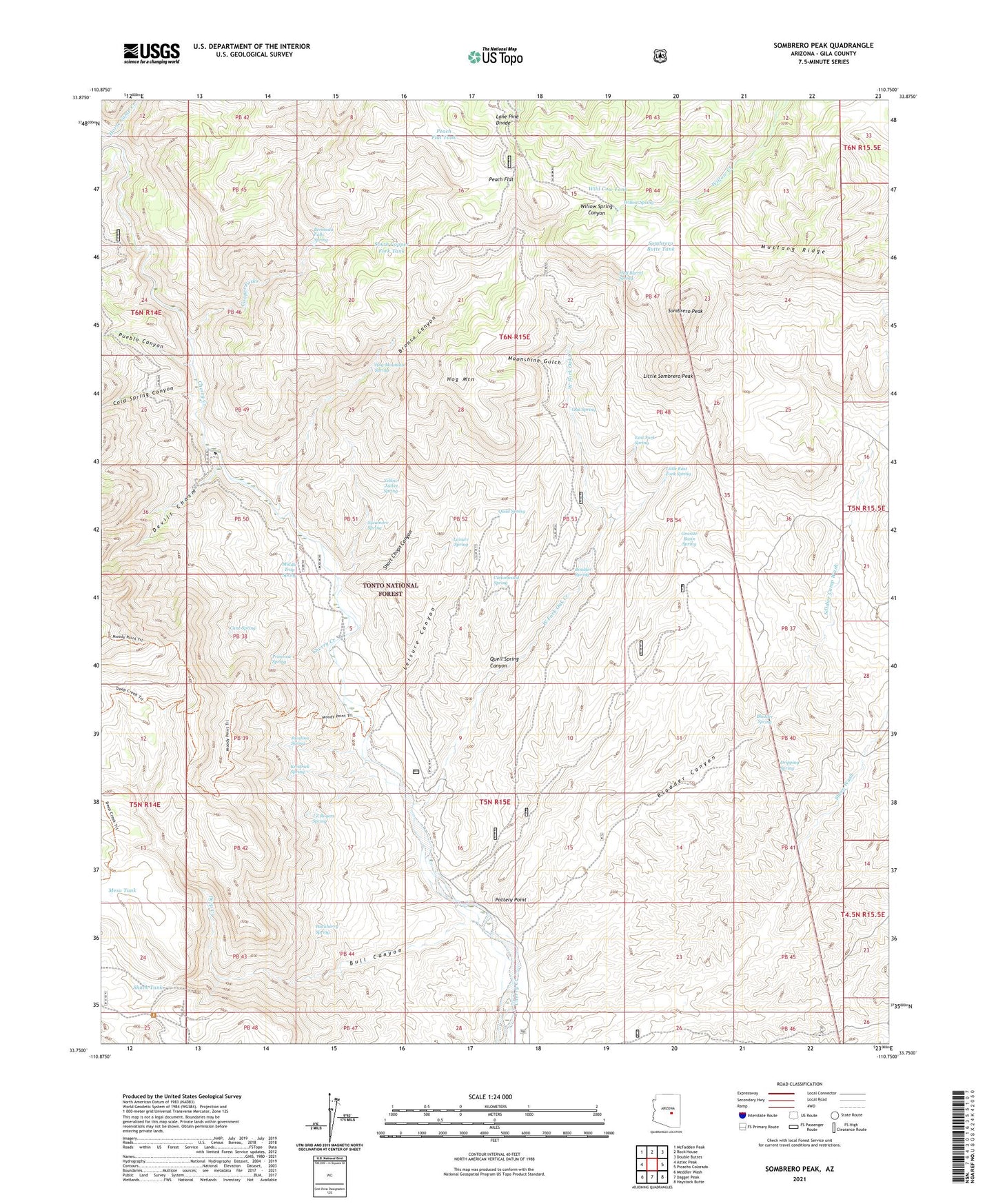
2021 topographic map quadrangle Sombrero Peak in the state of Arizona. Scale: 1:24000. Based on the newly updated USGS 7.5' US Topo map series, this map is in the following counties: Gila. The map contains contour data, water features, and other items you are used to seeing on USGS maps, but also has updated roads and other features. This is the next generation of topographic maps. Printed on high-quality waterproof paper with UV fade-resistant inks.
Quads adjacent to this one:
West: Aztec Peak
Northwest: McFadden Peak
North: Rock House
Northeast: Double Buttes
East: Picacho Colorado
Southeast: Haystack Butte
South: Dagger Peak
Southwest: Meddler Wash
This map covers the same area as the classic USGS quad with code o33110g7.
Contains the following named places: Badlands, Banning Wash, Bermuda Falls Spring, Bladder Canyon, Bladder Spring, Boulder Spring, Bronco Canyon, Bronco Tank, Brower Tank, Bull Canyon, Cane Spring, Cement Dam Tank, Cherry Number One Tank, Cherry Number Three Tank, Cherry Number Two Tank, Cold Spring Canyon, Cook Ranch, Cooper Forks, Cottonwood Spring, Deep Creek, Deep Creek Tank, Devils Chasm, Dripping Spring, East Fork Spring, Ellison Ranch, Flying H Ranch, Gila County, Granite Basin Spring, Hackberry Spring, Half Barrel Spring, Hinton Creek, Hog Mountain, Hog Mountain Spring, J Z Rogers Spring, Javelina Spring, Kendrick Spring, Leisure Canyon, Leisure Canyon Trailhead, Leisure Spring, Little East Fork Spring, Little Sombrero Peak, Lone Pine Divide, Mesa Tank, Middle Trap Spring, Moonshine Gulch, Moonshine Tank, Mustang Ridge, North Cooper Fork Tank, North Fork Cooper Forks, Oak Spring, Peach Flat, Peach Flat Tank, Pottery Point, Primrose Spring, Pueblo Canyon, Quail Spring, Quail Spring Canyon, Rim-Moody Point Trail, Shack Tank, Sheep Wash, Short Chops Canyon, Soldier Camp Wash, Sombrero Butte Tank, Sombrero Peak, South Copper Fork Tank, South Fork Cooper Forks, Sycamore Spring, West Fork Oak Creek, Wild Cow Tank, Willow Spring, Yellow Jacket Spring


