MyTopo
Chiuli Shaik Arizona US Topo Map
Couldn't load pickup availability
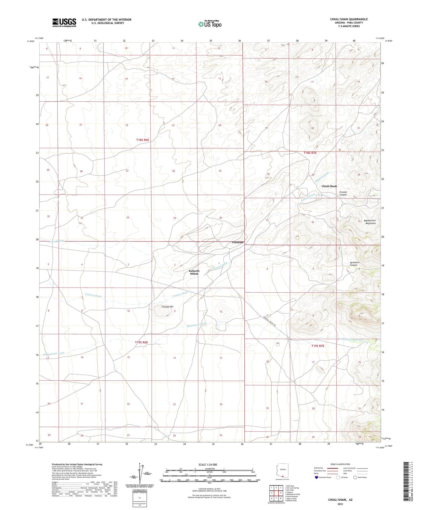
2021 topographic map quadrangle Chiuli Shaik in the state of Arizona. Scale: 1:24000. Based on the newly updated USGS 7.5' US Topo map series, this map is in the following counties: Pima. The map contains contour data, water features, and other items you are used to seeing on USGS maps, but also has updated roads and other features. This is the next generation of topographic maps. Printed on high-quality waterproof paper with UV fade-resistant inks.
Quads adjacent to this one:
West: Topawa
Northwest: Sells East
North: San Juan Spring
Northeast: Kitt Peak
East: Baboquivari Peak
Southeast: Mildred Peak
South: Aguirre Peak
Southwest: South Komelik
This map covers the same area as the classic USGS quad with code o31111g6.
Contains the following named places: Allison Camp, Allison Mine, Baboquivari District, Chiuli Shaik, Fresnal Canyon, Fresnal Hill, Gu Kui Chuchg, Kahachi Miliuk, Kohi Kug, Mulberry Wash, Pitoikam, Sycamore Canyon