MyTopo
Picacho Colorado Arizona US Topo Map
Couldn't load pickup availability
Also explore the Picacho Colorado Forest Service Topo of this same quad for updated USFS data
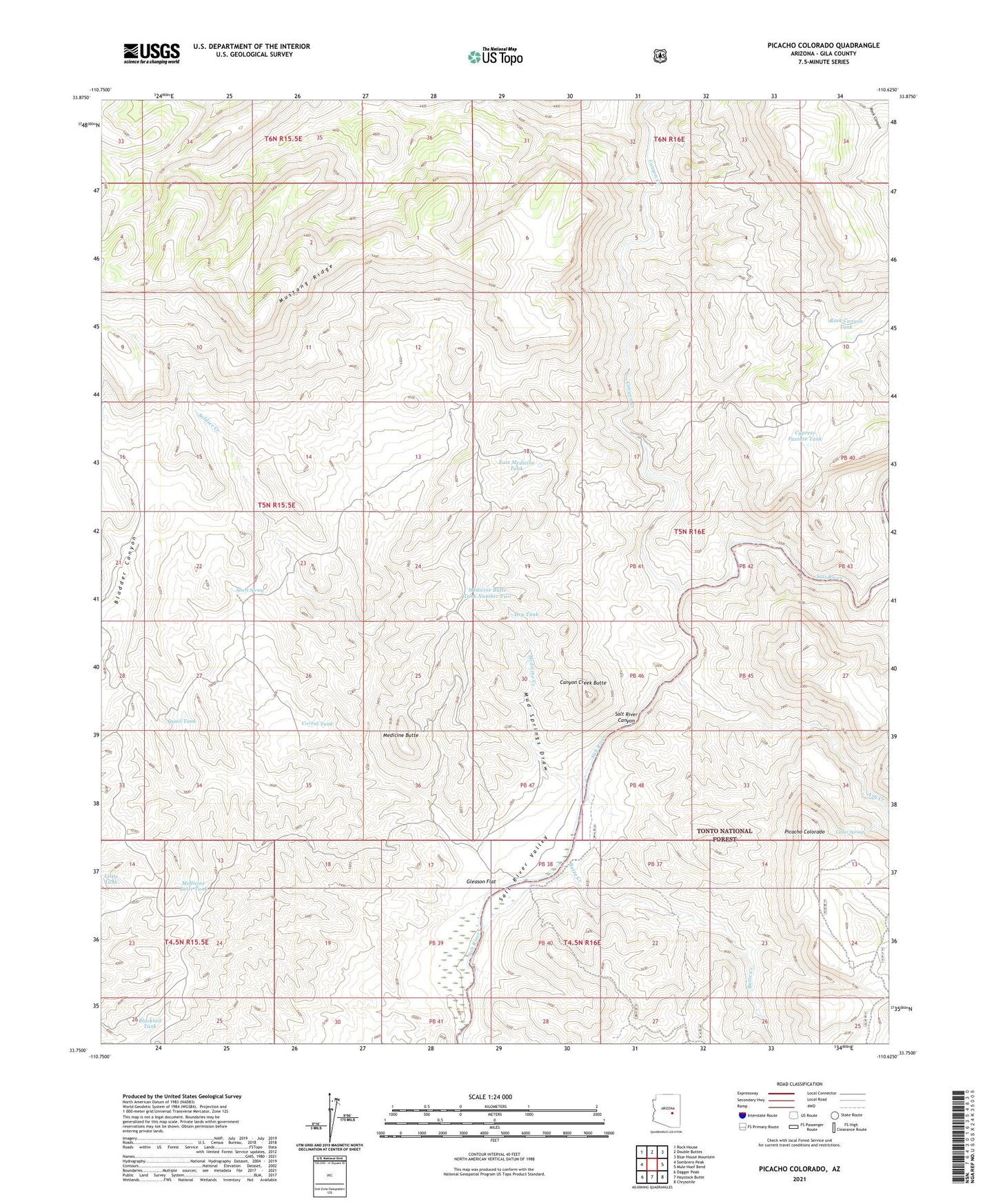
2021 topographic map quadrangle Picacho Colorado in the state of Arizona. Scale: 1:24000. Based on the newly updated USGS 7.5' US Topo map series, this map is in the following counties: Gila. The map contains contour data, water features, and other items you are used to seeing on USGS maps, but also has updated roads and other features. This is the next generation of topographic maps. Printed on high-quality waterproof paper with UV fade-resistant inks.
Quads adjacent to this one:
West: Sombrero Peak
Northwest: Rock House
North: Double Buttes
Northeast: Blue House Mountain
East: Mule Hoof Bend
Southeast: Chrysotile
South: Haystack Butte
Southwest: Dagger Peak
This map covers the same area as the classic USGS quad with code o33110g6.
Contains the following named places: Albert Spring, Ash Creek, Blacktail Tank, Butte Creek, Canyon Creek, Canyon Creek Butte, Cedar Spring, Corral Tank, Cypress Pasture Tank, Dry Tank, East Medicine Tank, Gleason Flat, Gleason Flat Catchment, Little Tank, Medicine Butte, Medicine Butte Tank, Medicine Butte Tank Number Two, Medicine Creek, Mud Springs Draw, Picacho Colorado, Quail Tank, Soldier Creek