
MyTopo
Kirkland Arizona US Topo Map
Couldn't load pickup availability
Also explore the Kirkland Forest Service Topo of this same quad for updated USFS data
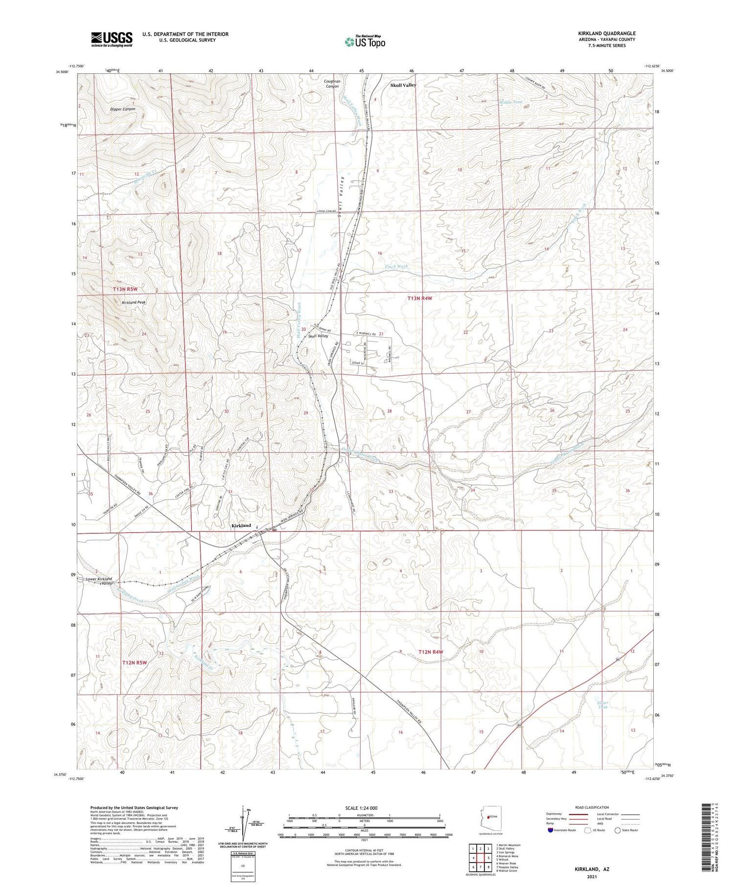
2021 topographic map quadrangle Kirkland in the state of Arizona. Scale: 1:24000. Based on the newly updated USGS 7.5' US Topo map series, this map is in the following counties: Yavapai. The map contains contour data, water features, and other items you are used to seeing on USGS maps, but also has updated roads and other features. This is the next generation of topographic maps. Printed on high-quality waterproof paper with UV fade-resistant inks.
Quads adjacent to this one:
West: Bismarck Mesa
Northwest: Martin Mountain
North: Skull Valley
Northeast: Iron Springs
East: Wilhoit
Southeast: Walnut Grove
South: Peeples Valley
Southwest: Weaver Peak
This map covers the same area as the classic USGS quad with code o34112d6.
Contains the following named places: Big Windmill, California Well, Charlie Well, Copper Basin Wash, Cort Well, Delia Well, Elmer Tank, Finch Wash, Highway Windmill, Homestead Windmill, Kennedy Windmill, Kirkland, Kirkland Elementary School, Kirkland Peak, Kirkland Post Office, Kirkland Railroad Station, Lower Ranch Well, Middle Tank, Middle Windmill, New Windmill, Railroad Well, Section Fifteen Windmill, Skull Valley, Skull Valley Railroad Station, Skull Valley Ranch School, Skull Valley Wash, Texas Windmill


