MyTopo
Powell Plateau Arizona US Topo Map
Couldn't load pickup availability
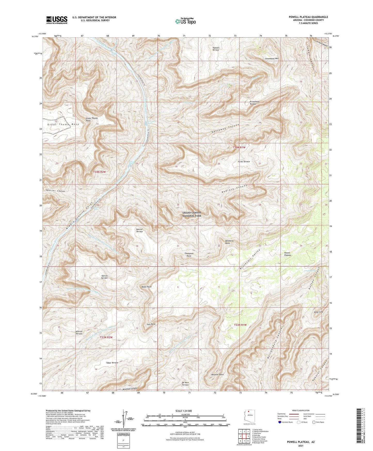
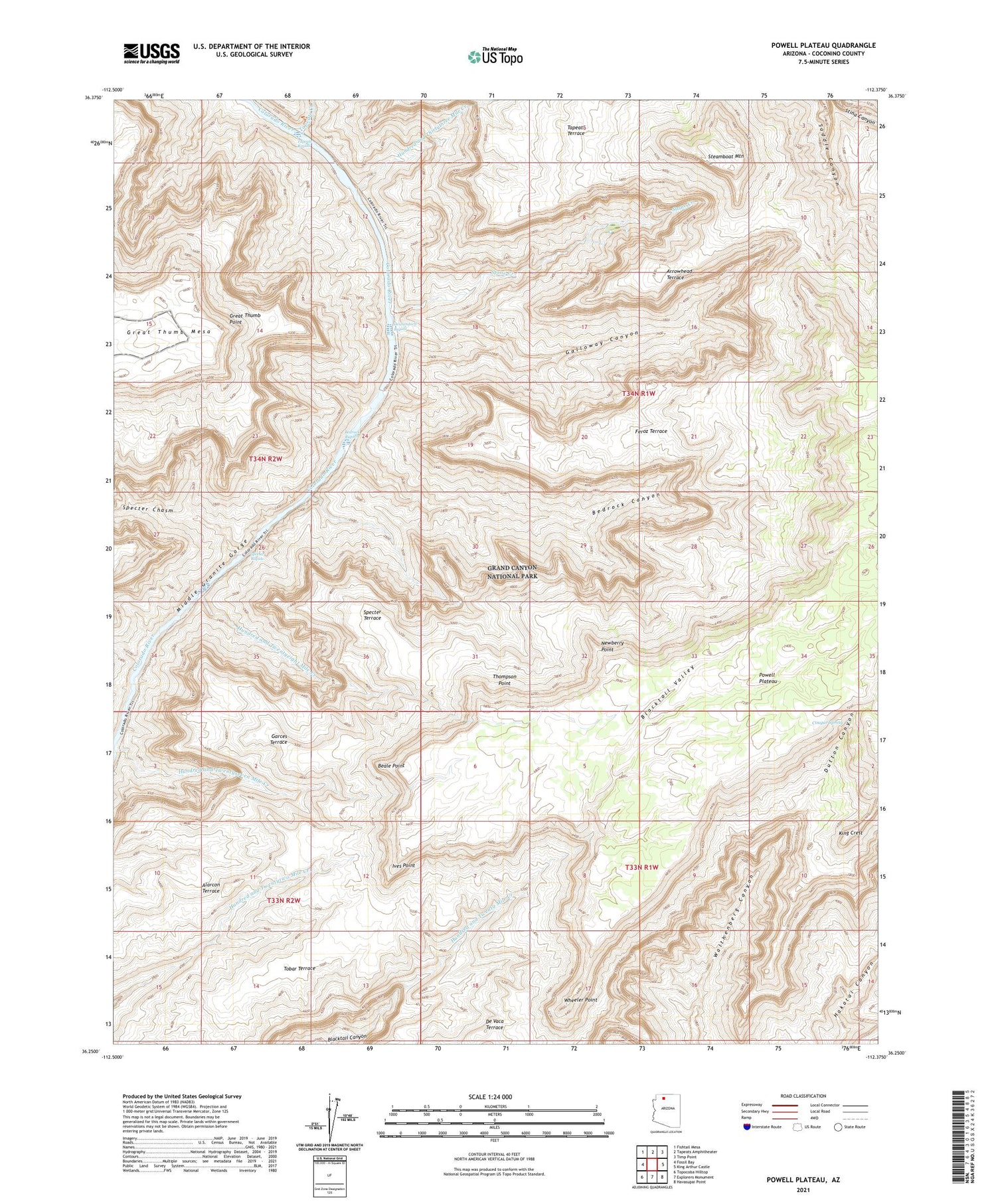
2021 topographic map quadrangle Powell Plateau in the state of Arizona. Scale: 1:24000. Based on the newly updated USGS 7.5' US Topo map series, this map is in the following counties: Coconino. The map contains contour data, water features, and other items you are used to seeing on USGS maps, but also has updated roads and other features. This is the next generation of topographic maps. Printed on high-quality waterproof paper with UV fade-resistant inks.
Quads adjacent to this one:
West: Fossil Bay
Northwest: Fishtail Mesa
North: Tapeats Amphitheater
Northeast: Timp Point
East: King Arthur Castle
Southeast: Havasupai Point
South: Explorers Monument
Southwest: Topocoba Hilltop
This map covers the same area as the classic USGS quad with code o36112c4.
Contains the following named places: Alarcon Terrace, Arrowhead Terrace, Beale Point, Bedrock Canyon, Bedrock Rapids, Blacktail Valley, Cougar Spring, Deubendorff Rapids, Dutton Canyon, Feroz Terrace, Galloway Canyon, Garces Terrace, Great Thumb Mesa, Great Thumb Point, Hundred and Thirtythree Mile Creek, Hundred and Twentyeight Mile Creek, Hundred and Twentyseven Mile Creek, Ives Point, King Crest, Middle Granite Gorge, Newberry Point, Powell Plateau, Specter Chasm, Specter Rapids, Specter Terrace, Steamboat Mountain, Stone Creek, Tapeats Creek, Tapeats Rapids, Thompson Point, Tobar Terrace, Wheeler Point


