MyTopo
Red Butte Arizona US Topo Map
Couldn't load pickup availability
Also explore the Red Butte Forest Service Topo of this same quad for updated USFS data
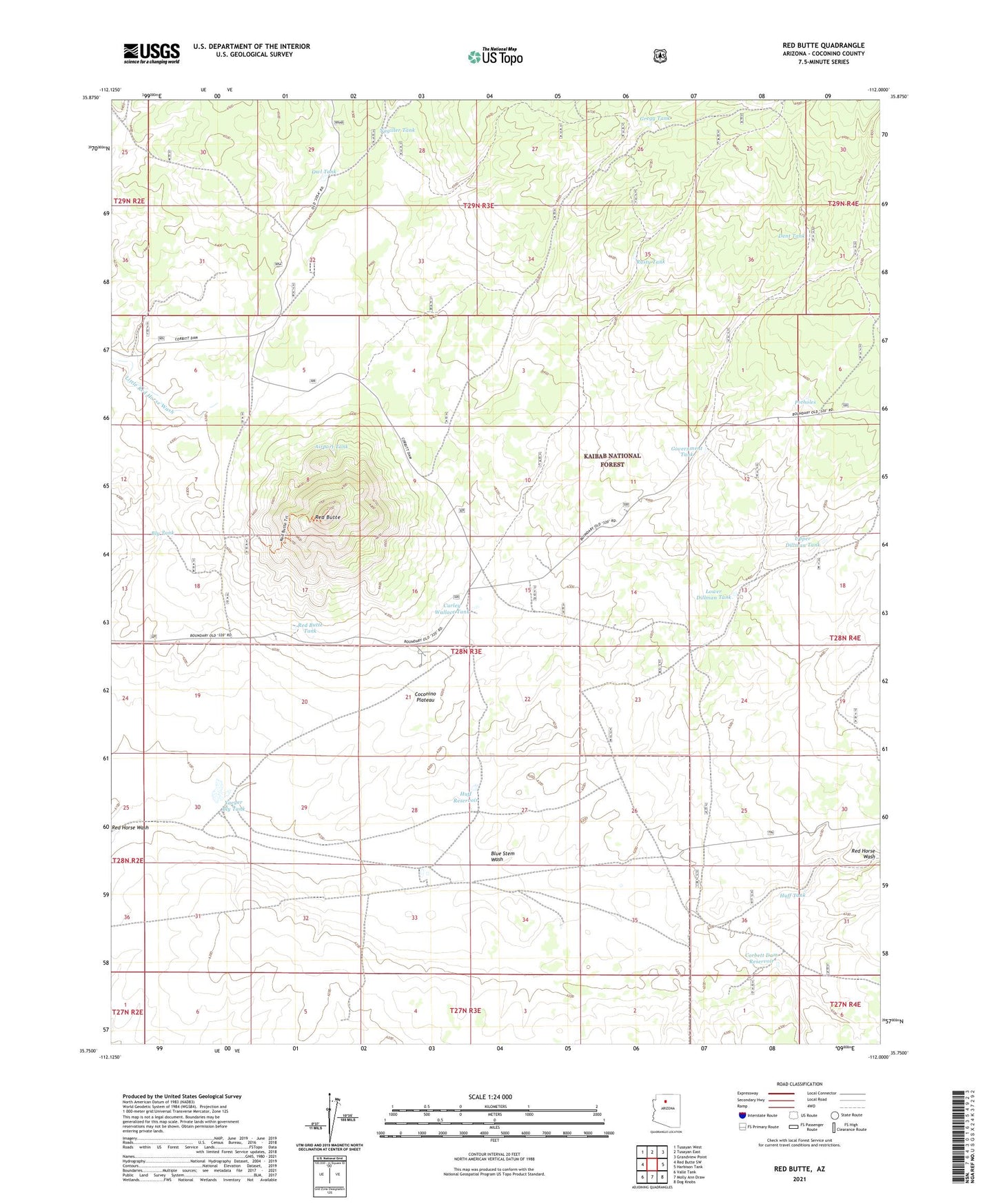
2021 topographic map quadrangle Red Butte in the state of Arizona. Scale: 1:24000. Based on the newly updated USGS 7.5' US Topo map series, this map is in the following counties: Coconino. The map contains contour data, water features, and other items you are used to seeing on USGS maps, but also has updated roads and other features. This is the next generation of topographic maps. Printed on high-quality waterproof paper with UV fade-resistant inks.
Quads adjacent to this one:
West: Red Butte SW
Northwest: Tusayan West
North: Tusayan East
Northeast: Grandview Point
East: Harbison Tank
Southeast: Dog Knobs
South: Molly Ann Draw
Southwest: Valle Tank
This map covers the same area as the classic USGS quad with code o35112g1.
Contains the following named places: Airport Tank, Blue Stem Wash, Bly Tank, Corbett Dam, Corbett Dam Reservoir, Corbett Trick Tank, Curley Wallace Tank, Dent Tank, Dillman Trick Tank, Government Draw Trick Tank, Government Tank, Gregg Tank, Huff Reservoir, Huff Tank, Lower Dillman Tank, Mason Tank, Nagiller Tank, Owl Tank, Potholes, Red Butte, Red Butte Tank, Rusty Tank, Upper Dillman Tank, Yaeger Bly Tank