MyTopo
Weber Peak Arizona US Topo Map
Couldn't load pickup availability
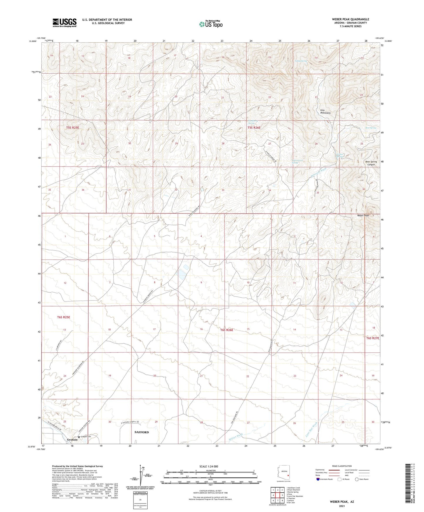
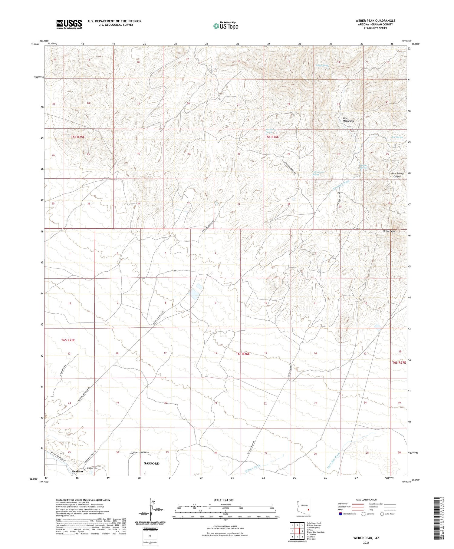
2021 topographic map quadrangle Weber Peak in the state of Arizona. Scale: 1:24000. Based on the newly updated USGS 7.5' US Topo map series, this map is in the following counties: Graham. The map contains contour data, water features, and other items you are used to seeing on USGS maps, but also has updated roads and other features. This is the next generation of topographic maps. Printed on high-quality waterproof paper with UV fade-resistant inks.
Quads adjacent to this one:
West: Pima
Northwest: Markham Creek
North: Bryce Mountain
Northeast: Bonita Spring
East: Lone Star Mountain
Southeast: San Jose
South: Safford
Southwest: Thatcher
This map covers the same area as the classic USGS quad with code o32109h6.
Contains the following named places: Bear Spring, Ben Hur Mine, Cottonwood Spring, Graham, Graham Cemetery, Grant Morris Dam, Hackberry Spring, Safford Morence Trail, San Juan Mine, Talley Spring, Walnut Springs, Weber Peak, West Ranch