MyTopo
Thatcher Arizona US Topo Map
Couldn't load pickup availability
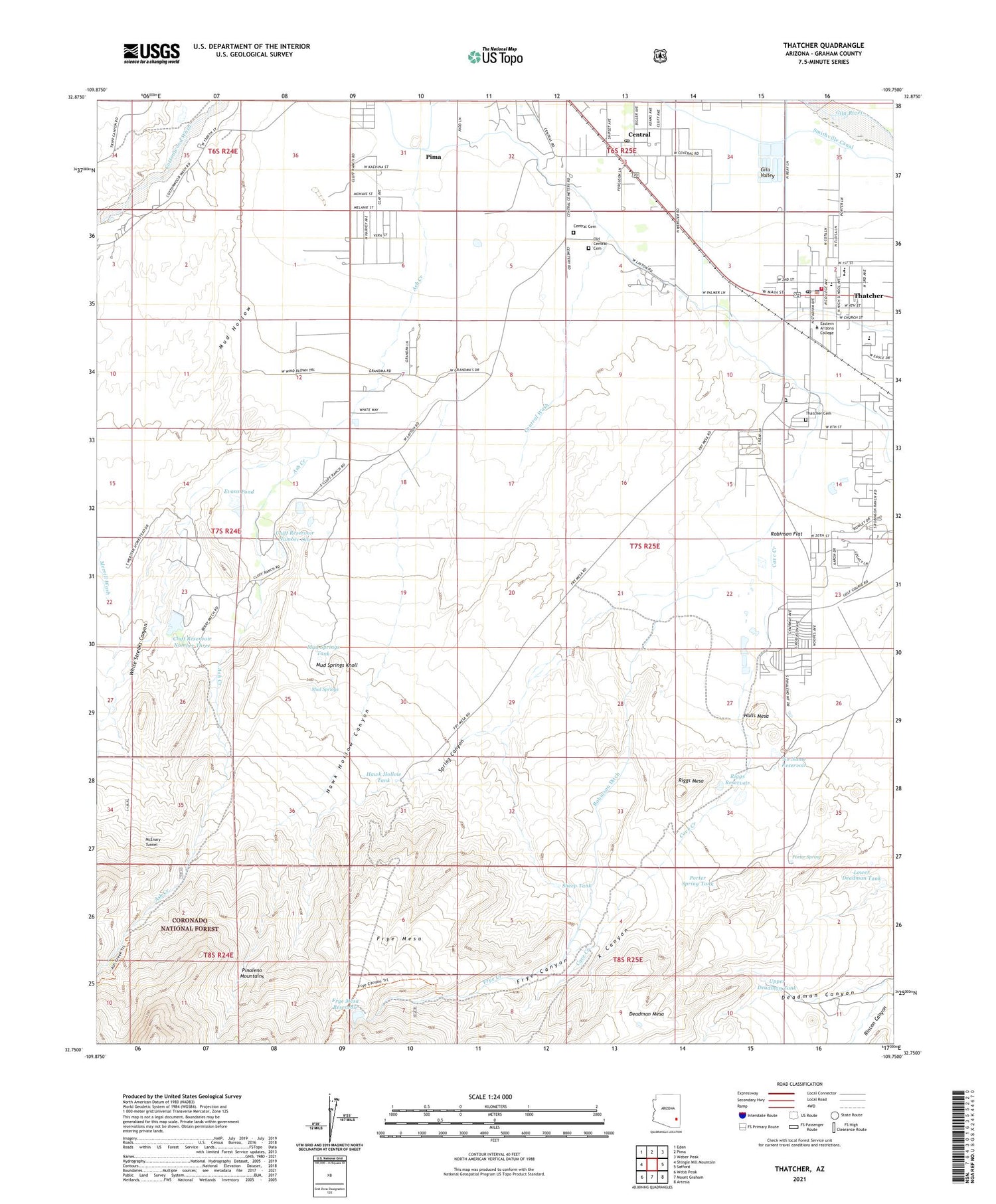
Also explore the Thatcher Forest Service Topo of this same quad for updated USFS data
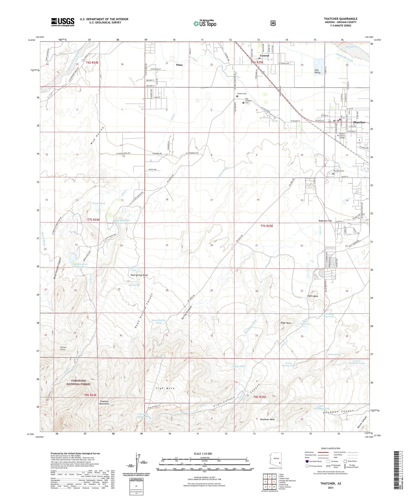
2021 topographic map quadrangle Thatcher in the state of Arizona. Scale: 1:24000. Based on the newly updated USGS 7.5' US Topo map series, this map is in the following counties: Graham. The map contains contour data, water features, and other items you are used to seeing on USGS maps, but also has updated roads and other features. This is the next generation of topographic maps. Printed on high-quality waterproof paper with UV fade-resistant inks.
Quads adjacent to this one:
West: Shingle Mill Mountain
Northwest: Eden
North: Pima
Northeast: Weber Peak
East: Safford
Southeast: Artesia
South: Mount Graham
Southwest: Webb Peak
This map covers the same area as the classic USGS quad with code o32109g7.
Contains the following named places: Allen Reservoir, Arizona Game and Fish Region Number Seven Office, Ash Creek Trail Three Hundred Seven, Cave Creek, Central, Central Cemetery, Central Census Designated Place, Central Detention Dam, Central Post Office, Central Wash, Chandler Tank, Cluff Ranch, Cluff Ranch Number Three Dam, Cluff Reservoir Number One, Cluff Reservoir Number Three, Daily Estates Mobile Home Park, Dave Lee Detention Dam, Deadman Canyon, Eastern Arizona College, Eastern Arizona College Thatcher Campus Academic Programs Building, Eastern Arizona College Thatcher Campus Allied Health Lab, Eastern Arizona College Thatcher Campus Alumni Library, Eastern Arizona College Thatcher Campus Art Building B, Eastern Arizona College Thatcher Campus Art Building C, Eastern Arizona College Thatcher Campus Family Consumer Resources Building, Eastern Arizona College Thatcher Campus Fine Arts Auditorium, Eastern Arizona College Thatcher Campus Gherald L Hoopes Jr Activities Center, Eastern Arizona College Thatcher Campus Guitteau Gymnasium, Eastern Arizona College Thatcher Campus Industrial Technology Building, Eastern Arizona College Thatcher Campus Mark Allen Residence Hall, Eastern Arizona College Thatcher Campus Math and Science Building, Eastern Arizona College Thatcher Campus Memorial Bell Tower, Eastern Arizona College Thatcher Campus Nellie Lee Residence Hall, Eastern Arizona College Thatcher Campus Student Learning Center, Eastern Arizona College Thatcher Campus Student Services Building, Eastern Arizona College Thatcher Campus Wayne M McGrath High Tech Center, Eastern Arizona College Thatcher Campus Wesley Taylor Residence Hall, Evans Pond, Frye, Frye Canyon, Frye Creek, Frye Creek Retarding Dam, Frye Mesa, Frye Mesa Reservoir, Frye Mesa Reservoir Dam, Graham County Sheriff's Office Thatcher, Halls Mesa, Hawk Hollow Canyon, Hawk Hollow Tank, Jack Daley Primary School, KATO-AM (Safford), KXKQ-FM (Safford), Lower Deadman Tank, McEnary Tunnel, Mount Graham Golf Course, Mud Hollow, Mud Hollow Tank, Mud Springs, Mud Springs Knoll, Mud Springs Tank, No Name Reservoir, No Name Wash, Old Central Cemetery, Porter Spring, Porter Spring Tank, Red Lamp Mobile Home Park, Riggs Mesa, Riggs Reservoir, Riggs Reservoir Dam, Rincon Canyon, Robinson Ditch, Robinson Flat, Savage Dam, Sheep Tank, Sheriffs Posse Rodeo and Roping Area, Smithville Canal, Spring Canyon, Stowe Tank, Thatcher, Thatcher Cemetery, Thatcher City Hall, Thatcher Elementary School, Thatcher Fire Department, Thatcher High School, Thatcher Middle School, Thatcher Police Department, Thatcher Post Office, The Church of Jesus Christ of Latter Day Saints, Thorpe Tank, Tin House, Town of Thatcher, Upper Deadman Tank, White Streaks Canyon, X Canyon, ZIP Code: 85552


