MyTopo
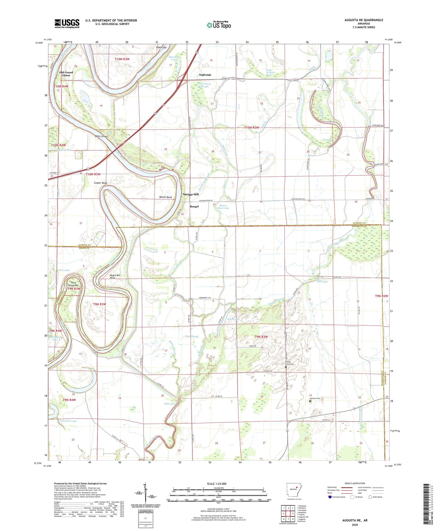
Augusta NE Arkansas US Topo Map
Couldn't load pickup availability
2024 topographic map quadrangle Augusta NE in the state of Arkansas. Scale: 1:24000. Based on the newly updated USGS 7.5' US Topo map series, this map is in the following counties: Woodruff, Jackson, White. The map contains contour data, water features, and other items you are used to seeing on USGS maps, but also has updated roads and other features. This is the next generation of topographic maps. Printed on high-quality waterproof paper with UV fade-resistant inks.
Quads adjacent to this one:
West: Bradford
Northwest: Olyphant
North: Newport
Northeast: Auvergne
East: Tupelo
Southeast: McCrory
South: Augusta
Southwest: Augusta SW
This map covers the same area as the classic USGS quad with code o35091d3.
Contains the following named places: Antioch Cemetery, Antioch Church, Baines Bend, Bear Lake, Beaver Dam Lake, Bengel, Big Horseshoe Lake, Blue Hole, Calhoun Place, Cooper Bend, Deadman Slough, Deep Slough, Deitz School, Duck Roost Slough, Gibson Levee, Hogpen Slough, Holly Orchard Brake, Honey Grove Church, Horseshoe Baptist Church, Ingleside, Lake Grove Church, Little Horseshoe Lake, Lost Lake, Main Overcup Ditch, McDougal Lake, McDougal Place, Mill Creek, Mill Lake, Mud Slough, Negro Bill Point, Otto Lake, Petit Glaise Bar, Pickett Lake, Pipkin Bar, Pipkin Place, Pleasant Grove, Robin Slough, Spradlin Lake, Spriggs Mill, Teague Lake, Township of Bryan, Township of White River, White Lake, White Lake Cemetery, White Lake Church, Yancopin Lake


