MyTopo
Blue Mountain Arkansas US Topo Map
Couldn't load pickup availability
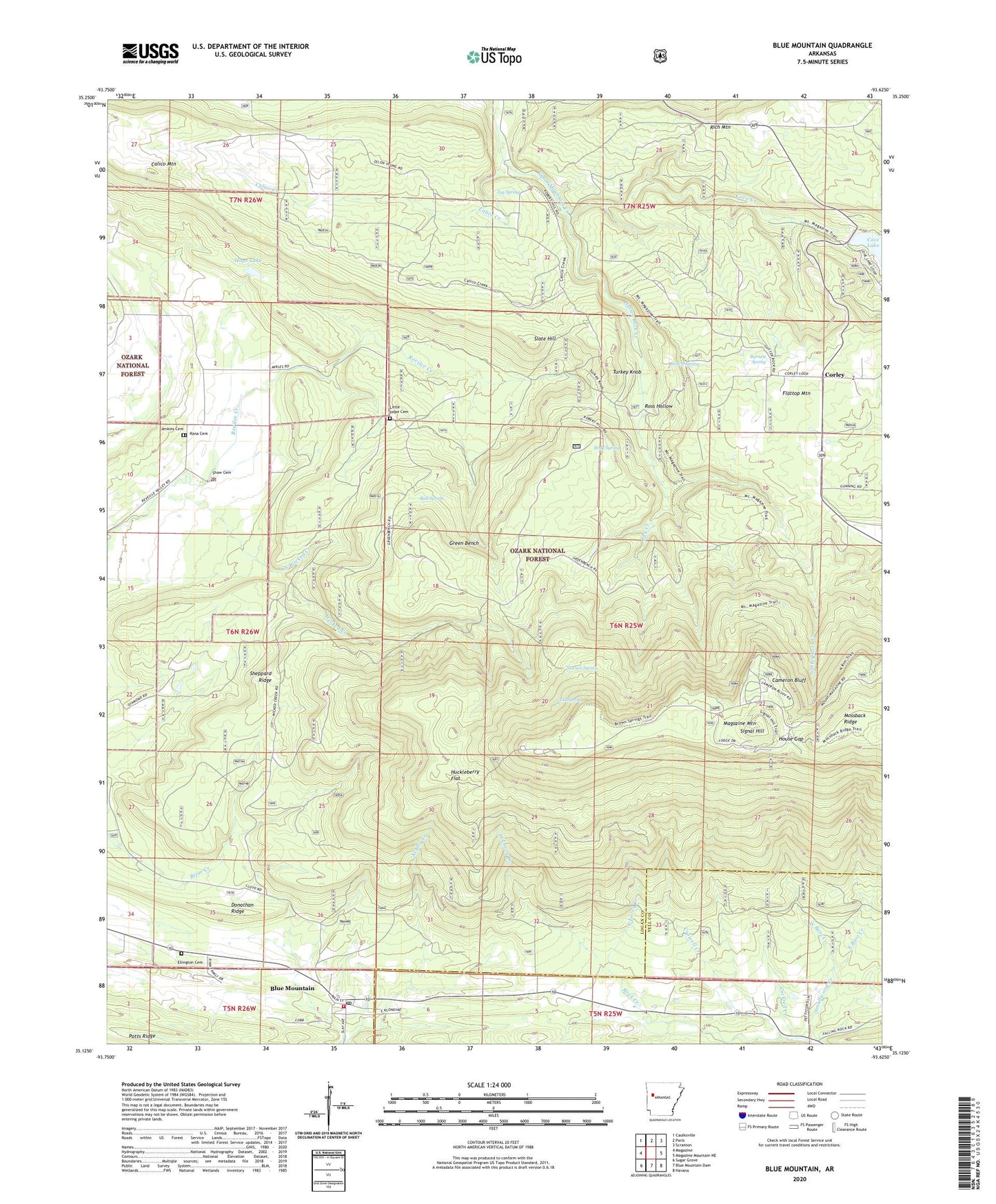
2024 topographic map quadrangle Blue Mountain in the state of Arkansas. Scale: 1:24000. Based on the newly updated USGS 7.5' US Topo map series, this map is in the following counties: Logan, Yell. The map contains contour data, water features, and other items you are used to seeing on USGS maps, but also has updated roads and other features. This is the next generation of topographic maps. Printed on high-quality waterproof paper with UV fade-resistant inks.
Quads adjacent to this one:
West: Magazine
Northwest: Caulksville
North: Paris
Northeast: Scranton
East: Magazine Mountain NE
Southeast: Havana
South: Blue Mountain Dam
Southwest: Sugar Grove
This map covers the same area as the classic USGS quad with code o35093b6.
Contains the following named places: Ball Spring, Blue Mountain, Blue Mountain Post Office, Blue Mountain Volunteer Fire Station, Bray Spring, Brown Spring, Brown Springs Recreation Area, Burnett Spring, Calico Creek, Calico Mountain, Cameron Bluff, Cameron Bluff Recreation Area, Cockrell Creek, Cold Spring, Corley, Cove Creek, Cove Lake Dam, Cove Lake Picnic Area, Cove Lake Recreation Area, Crowell Creek, Donathan Ridge, Dripping Springs Recreation Area, East Bass Creek, East Lacey Creek, Ellington Cemetery, Green Bench, Gutter Rock Creek, Hope Lake, Hope Lake Dam, House Gap, Huckleberry Flat, Jenkins Cemetery, Jug Spring, KMAG-FM (Fort Smith), Liberty Church, Lick Creek, Little Hope Cemetery, Logan County, Magazine Hiking Trail, Magazine Lookout Tower, Magazine Mountain, Magazine Mountain Lodge, Mossback Ridge, Mount Magazine Post Office, North Wicked Creek, Rana Cemetery, Ross Hollow, Shaw Cemetery, Sheppard Ridge, Signal Hill, Slate Hill, Slocum Spring, Smallwood Creek, South Wicked Creek, Town of Blue Mountain, Township of Blue Mountain, Turkey Knob, West Bass Creek, West Lacey Creek, Wicked Creek


