MyTopo
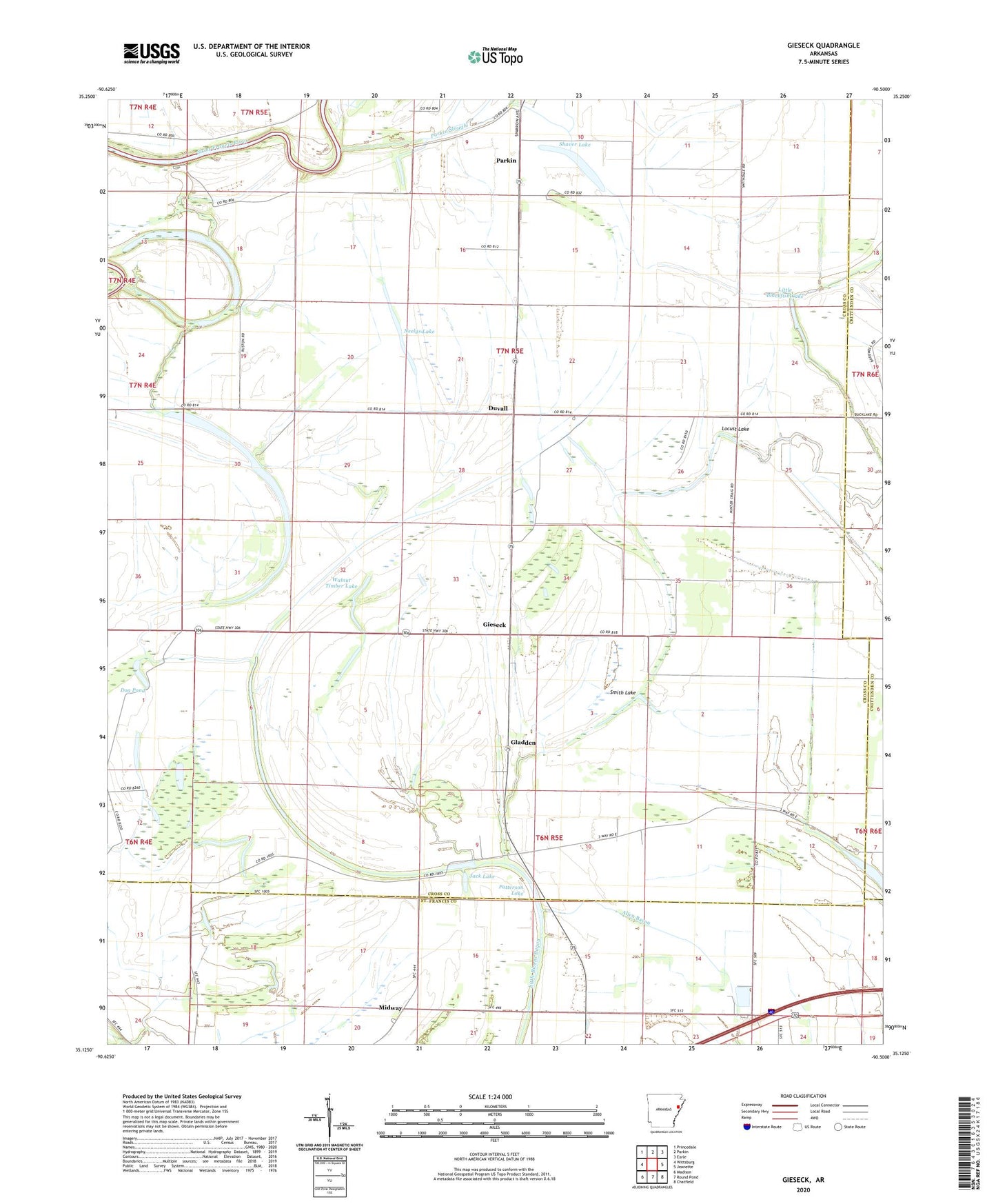
Gieseck Arkansas US Topo Map
Couldn't load pickup availability
2024 topographic map quadrangle Gieseck in the state of Arkansas. Scale: 1:24000. Based on the newly updated USGS 7.5' US Topo map series, this map is in the following counties: Cross, St. Francis, Crittenden. The map contains contour data, water features, and other items you are used to seeing on USGS maps, but also has updated roads and other features. This is the next generation of topographic maps. Printed on high-quality waterproof paper with UV fade-resistant inks.
Quads adjacent to this one:
West: Wittsburg
Northwest: Princedale
North: Parkin
Northeast: Earle
East: Jeanette
Southeast: Chatfield
South: Round Pond
Southwest: Madison
This map covers the same area as the classic USGS quad with code o35090b5.
Contains the following named places: Anderson Lake, Bailes, Beaver Lake, Butler Chapel, Campbell School, Ditch Number 24, Dog Pond, Duvall, Fishing Lake, Friendship Church, Gieseck, Gladden, Gladden Church, Hill Lake, Holly Grove Church, Jack Lake, Lansing Grove School, Little Blackfish Lake, Locust Grove Church, Locust Lake, Midway, Mount Harmon School, Neelys Lake, New Bethel Church, New Light Church, Old River, Parkin Slough, Patterson, Patterson Lake, Patterson School, Pilgrims Rest Church, Prophet Lake, Rainbow Lake, Riverside, Rose Place, Shaver Lake, Smith Lake, Snowden Lake, Thompson Lake, Township of Tyronza, Walkers Store, Walnut Timber Lake


