MyTopo
Madison Arkansas US Topo Map
Couldn't load pickup availability
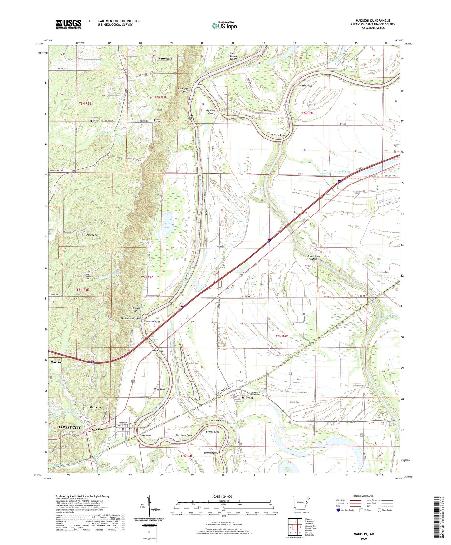
2024 topographic map quadrangle Madison in the state of Arkansas. Scale: 1:24000. Based on the newly updated USGS 7.5' US Topo map series, this map is in the following counties: St. Francis. The map contains contour data, water features, and other items you are used to seeing on USGS maps, but also has updated roads and other features. This is the next generation of topographic maps. Printed on high-quality waterproof paper with UV fade-resistant inks.
Quads adjacent to this one:
West: Forrest City
Northwest: Wynne
North: Wittsburg
Northeast: Gieseck
East: Round Pond
Southeast: Mud Lake
South: Dansby
Southwest: Haynes
This map covers the same area as the classic USGS quad with code o35090a6.
Contains the following named places: Andrews Landing, Barn Crossing, Beaty Lake, Bells Chapel, Bethlehem Church Number 1, Big Eddy, Big Eddy Shoal, Bluff Bend, Booker Bend, Bowman Bar, Bowman Bend, Brushy Lake, Burnt Cane, Burnt Cane Lake, Burnt Mill Bluff, City of Madison, Collins Bend, Corw Bend, Cottonwood Corner, Crow Creek, Crow Creek Crossing, Derossitt School, Dorriss Cemetery, Doublehead Bluff, Fishers Lake, Fishing Lake, Forest Lake Number 4, Forest Lake Number 4 Dam, Forest School, Gibson Eddy, Gibson Shoal, Hope and Rest Church, Horseshoe Lake, Houston Bend, Hunter Bend, Hunter Lake, Kiethley Lake, Little Crow Creek, Lower Shoal, Madison, Madison Fire Department, Madison Police Department, Madison Post Office, Madison-Butler Elementary School, McFall Crossing, Merriman Bend, New Haven School, New Hebron Cemetery, New Hebron Church, New Sardis Cemetery, New Sardis Church, Newcastle, Newcastle Church, Oak Grove Church, Parrot School, Pickens Point, Poplar Grove Church, Rice-Bell Field Airport, Riverside Church, Round Pond Cutoff, Round Pond Lake, Saint Francis County, Scenic Hills Lake, Scenic Hills Lake Dam, Town of Widener, Township of Johnson, White Rock Church, Widener, Widener Post Office, Widener Volunteer Fire Department, Wynne Chapel, ZIP Code: 72359


