MyTopo
Greers Ferry Arkansas US Topo Map
Couldn't load pickup availability
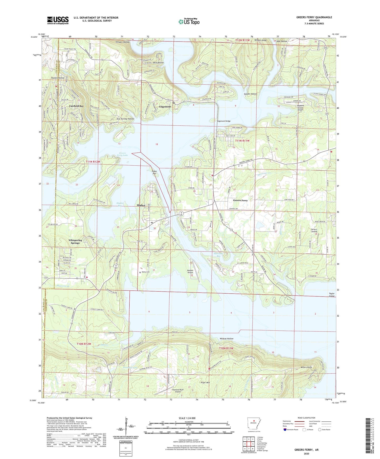
2024 topographic map quadrangle Greers Ferry in the state of Arkansas. Scale: 1:24000. Based on the newly updated USGS 7.5' US Topo map series, this map is in the following counties: Cleburne, Van Buren. The map contains contour data, water features, and other items you are used to seeing on USGS maps, but also has updated roads and other features. This is the next generation of topographic maps. Printed on high-quality waterproof paper with UV fade-resistant inks.
Quads adjacent to this one:
West: Fairfield Bay
Northwest: Shirley
North: Parma
Northeast: Prim
East: Brownsville
Southeast: Heber Springs
South: Quitman
Southwest: Morganton
This map covers the same area as the classic USGS quad with code o35092e2.
Contains the following named places: Bailey Cemetery, Bird Hollow, Bondair Airport, Chalk, City of Greers Ferry, Cove Creek Volunteer Fire Department Station 2, Devils Fork Little Red River, Devils Fork Recreation Area, Diamond Bluff Airport, Dunaway Lake, Dunaway Lake Dam, Edgemont, Edgemont Bridge, Edgemont Census Designated Place, Edgemont Post Office, Eva Turnley Hollow, Fairfield Bay Volunteer Fire Department Station 3 Indian Hills, Goodin Hollow, Greers Ferry, Greers Ferry Ambulance, Greers Ferry Fire Department Station 1, Greers Ferry Fire Department Station 2, Greers Ferry Fire Department Station 3, Greers Ferry Lake, Greers Ferry Nursery Pond, Greers Ferry Nursery Pond Dam, Greers Ferry Police Department, Higden, Higden Bay, Higden Church, Higden Post Office, Higden-McLahaney Chapel, Hill Creek, Hill Creek Marina, Hill Creek Recreation Area, Holiday Hills United Methodist Church, Hurricane Bay, Hurricane Creek, Indian Hills Country Club, Jake Hollow, Lone Pine, Lone Pine Baptist Church, Mill Creek Recreation Area, Millers Point, Narrows Marina, Narrows Recreation Area, Poker Hill, Post Oak, Post Oak Baptist Church, Salt Creek, Shiloh, Shiloh Church, Shiloh Creek, Shiloh Marina, Shiloh Recreation Area, Skypoint Estates Airport, Stewart Hollow, Taylor Island, Town of Higden, Township of Giles, Township of Morgan, Township of Saline, Upper Ferry, Verser's Landing, Wagon Branch, West Side Baptist Church, West Side Elementary School, West Side High School, Whispering Springs, Wilburn Knob, Wildcat Hollow, ZIP Code: 72067


