MyTopo
Nichols Mountain Arkansas US Topo Map
Couldn't load pickup availability
Also explore the Nichols Mountain Forest Service Topo of this same quad for updated USFS data
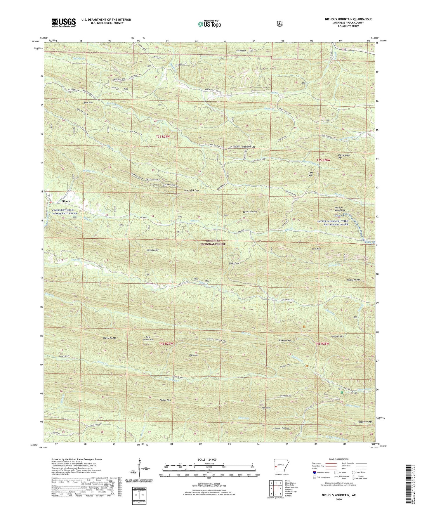
2024 topographic map quadrangle Nichols Mountain in the state of Arkansas. Scale: 1:24000. Based on the newly updated USGS 7.5' US Topo map series, this map is in the following counties: Polk. The map contains contour data, water features, and other items you are used to seeing on USGS maps, but also has updated roads and other features. This is the next generation of topographic maps. Printed on high-quality waterproof paper with UV fade-resistant inks.
Quads adjacent to this one:
West: Eagle Mountain
Northwest: Mena
North: Board Camp
Northeast: Pine Ridge
East: Big Fork
Southeast: Athens
South: Umpire
Southwest: Baker Springs
This map covers the same area as the classic USGS quad with code o34094d1.
Contains the following named places: Bard Springs Recreation Area, Bear Mountain, Blaylock Mountain, Buckeye Mountain, Caney Creek State Wildlife Management Area, Caney Creek Wilderness, Dicks Gap, East Hanna Mountain, Fork Mountain, Gap Creek, Hanna Range, Heath School, Katy Mountain, Lost Mountain, McKinley Mountain, Mill Creek School, Mine Creek, Nichols Mountain, North Fork Saline River, Porter Mountain, Raspberry Mountain, Rattlesnake Mountain, Shady, Shady Station Fire District 10, Spring Valley School, Sugar Creek School, Sugartree Gap, Sulphur Creek, Tall Peak, Three Oak Gap, Township of Gap Springs, Wolf Pen Gap