MyTopo
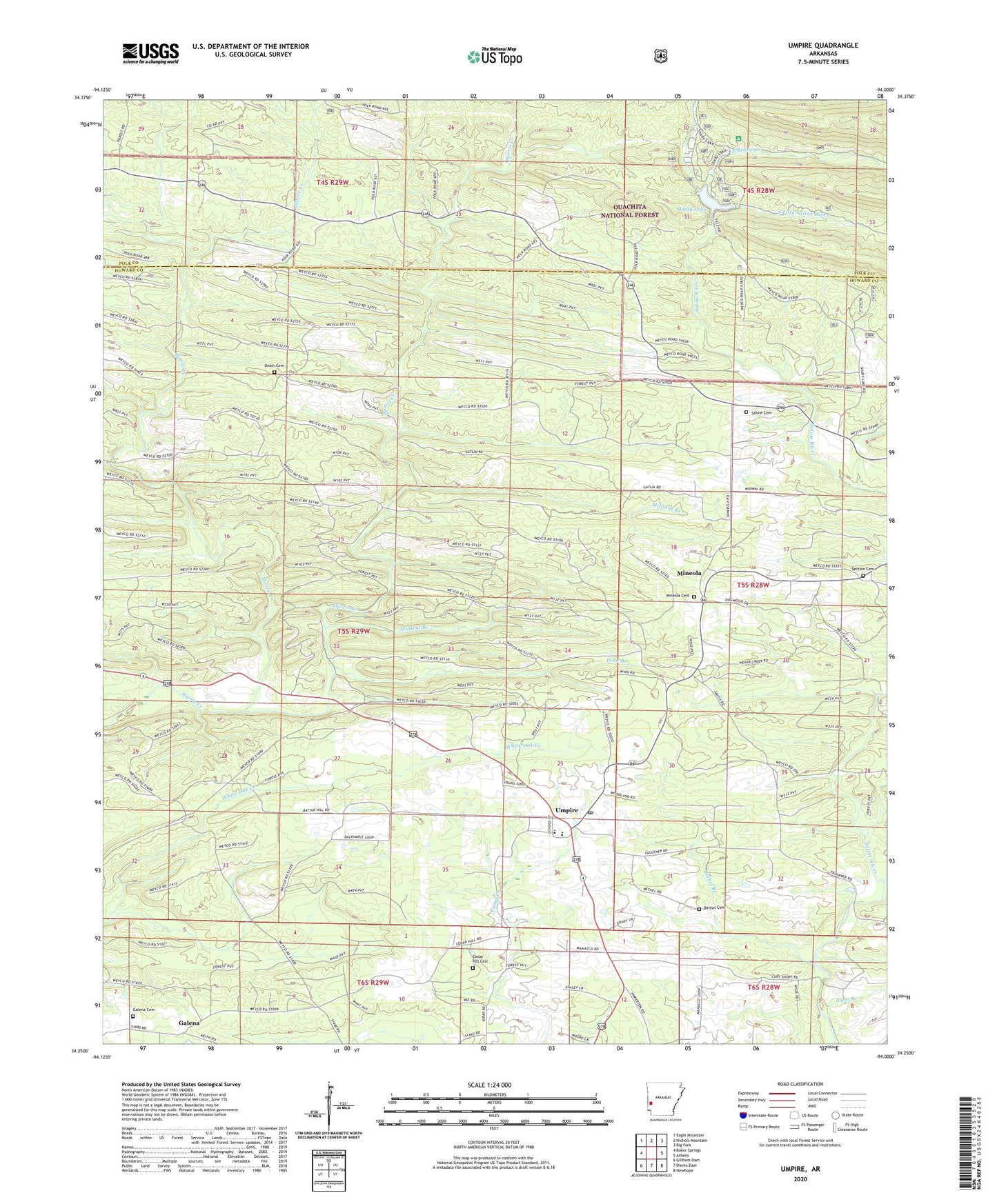
Umpire Arkansas US Topo Map
Couldn't load pickup availability
Also explore the Umpire Forest Service Topo of this same quad for updated USFS data
2024 topographic map quadrangle Umpire in the state of Arkansas. Scale: 1:24000. Based on the newly updated USGS 7.5' US Topo map series, this map is in the following counties: Howard, Polk. The map contains contour data, water features, and other items you are used to seeing on USGS maps, but also has updated roads and other features. This is the next generation of topographic maps. Printed on high-quality waterproof paper with UV fade-resistant inks.
Quads adjacent to this one:
West: Baker Springs
Northwest: Eagle Mountain
North: Nichols Mountain
Northeast: Big Fork
East: Athens
Southeast: Newhope
South: Dierks Dam
Southwest: Gillham Dam
This map covers the same area as the classic USGS quad with code o34094c1.
Contains the following named places: Battle Hill, Battle Hill School, Bethel, Bethel Branch, Bethel Cemetery, Bethel Methodist Episcopal Church South, Bethel School, Bluff Springs, Cedar Hill, Cedar Hill Baptist Church, Cedar Hill Cemetery, Cedar Hill School, Dial, East Saline Creek, Faulkner Springs, Galena, Galena Cemetery, Galena School, Holly Hill School, Midway, Midway Church, Millseat Branch, Mineola, Mineola Cemetery, Moore Creek, Mountain View School, Mouton, New Moon, Old Union, Saline, Saline Cemetery, Saline School, Section Cemetery, Shady Lake, Shady Lake Dam, Shady Lake Recreation Area, South Fork Saline River, Tobe Branch, Township of Faulkner, Umpire, Umpire Elementary School, Umpire High School, Umpire Post Office, Union Cemetery, Union Church, Union School, ZIP Code: 71971