MyTopo
Noland Arkansas US Topo Map
Couldn't load pickup availability
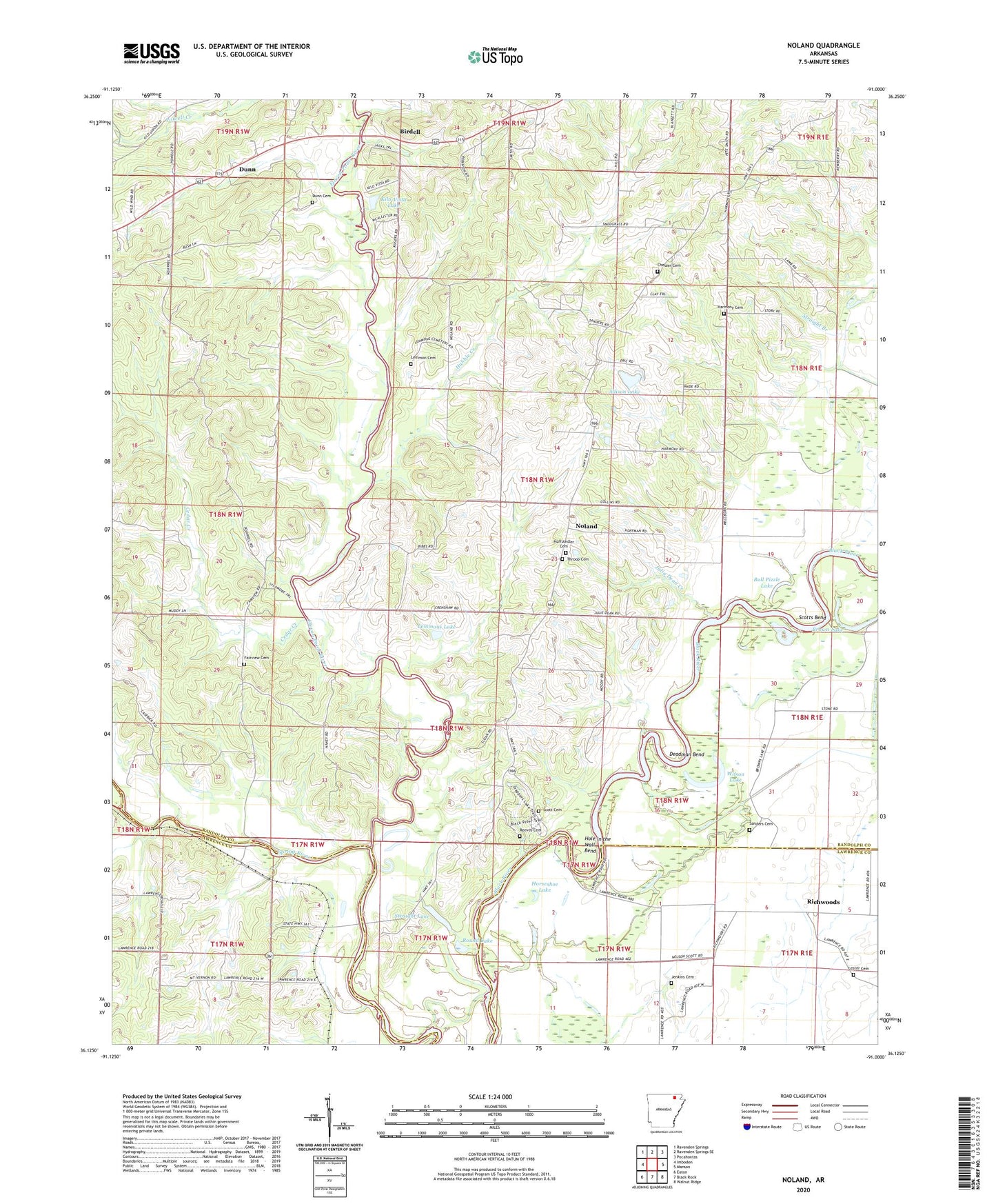
2024 topographic map quadrangle Noland in the state of Arkansas. Scale: 1:24000. Based on the newly updated USGS 7.5' US Topo map series, this map is in the following counties: Randolph, Lawrence. The map contains contour data, water features, and other items you are used to seeing on USGS maps, but also has updated roads and other features. This is the next generation of topographic maps. Printed on high-quality waterproof paper with UV fade-resistant inks.
Quads adjacent to this one:
West: Imboden
Northwest: Ravenden Springs
North: Ravenden Springs SE
Northeast: Pocahontas
East: Manson
Southeast: Walnut Ridge
South: Black Rock
Southwest: Eaton
This map covers the same area as the classic USGS quad with code o36091b1.
Contains the following named places: Allison Fish Lake Dam, Allison Lake, Apostolic Faith Campground, Bibb Farms, Bibb Fish Pond, Bibb Fish Pond Dam, Birdell, Birdell Church, Birdell Church of Christ, Birdell School, Brown Lake, Bull Pizzle Lake, Cedar Creek, Chesser Cemetery, Cox Ferry, Crooked Lake, Davidsonville, Deadman Bend, Dunn, Dunn Cemetery, Eleven Point River, Fairview Cemetery, Fairview School, Harmony Cemetery, Hole in the Wall Bend, Horseshoe Lake, Hubble Creek, Hubble Creek Church, Hubble Creek School, Huffstedler Cemetery, Jenkins Cemetery, Julia Dean Creek, Kilo-Vista Lake, Kilo-Vista Lake Dam, Lemmon Cemetery, Lemmons Lake, Lemmons Lake Dam, Lester Cemetery, Living Farm Museum, Mount Vernon Church, Mount Vernon School, New Bethel Freewill Baptist Church, Noland, Noland Church of Christ, Noland School, Old Davidsonville State Park, Pleasant Hill Church, Pleasant Hill School, Ragan School, Reeves Cemetery, Richwoods, Round Lake, Round Pond, Sanders Cemetery, Scott Cemetery, Scotts Bend, Scotts Ferry, Straight Lake, Throop Cemetery, Township of Butler, Township of East Roanoke, Township of Richwoods, Township of Roanoke, Township of West Roanoke, Wilson Lake


