MyTopo
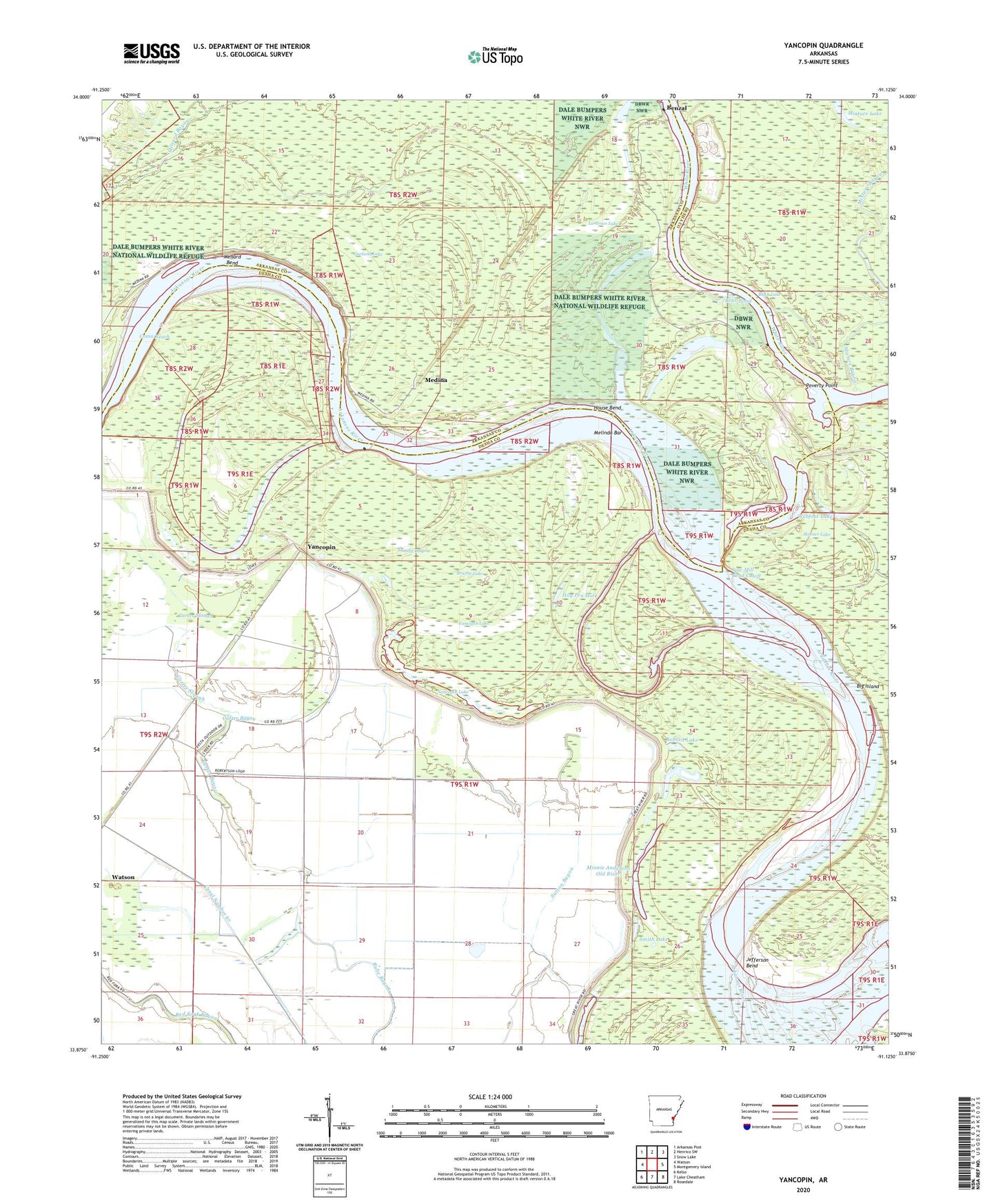
Yancopin Arkansas US Topo Map
Couldn't load pickup availability
2024 topographic map quadrangle Yancopin in the state of Arkansas. Scale: 1:24000. Based on the newly updated USGS 7.5' US Topo map series, this map is in the following counties: Desha, Arkansas. The map contains contour data, water features, and other items you are used to seeing on USGS maps, but also has updated roads and other features. This is the next generation of topographic maps. Printed on high-quality waterproof paper with UV fade-resistant inks.
Quads adjacent to this one:
West: Watson
Northwest: Arkansas Post
North: Henrico SW
Northeast: Snow Lake
East: Montgomery Island
Southeast: Rosedale
South: Lake Cheatham
Southwest: Kelso
This map covers the same area as the classic USGS quad with code o33091h2.
Contains the following named places: Bear Pond, Benzal, Black Lake, Bobtail Lake, Brushy Lake, Canal Number 67, Carter Bayou, Carter Slough, Como Reach, Garland Lake, Hog Pen Hole, Hopedale Landing, House Bend, Jefferson Bend, John Smith Lake, La Grues Lake, Lacy, Medina, Melinda Bar, Menard Bend, Menard-Hodges Site, Minnie Anderson Old River, Mixture Bayou, Mixture Lake, Mound Lake, Old River Lake, Owens Lake, Poverty Point, Rosemary Lake, Rosemary Landing, Sandy Bayou, Saw Mill Bend Cutoff, Skinner Lake, Smith Lake, Trusten Holder State Wildlife Management Area, Turner Cemetery, Webfoot Lake, Yancopin, Yancopin Airport, Yancopin Lake


