MyTopo
Lake Cheatham Arkansas US Topo Map
Couldn't load pickup availability
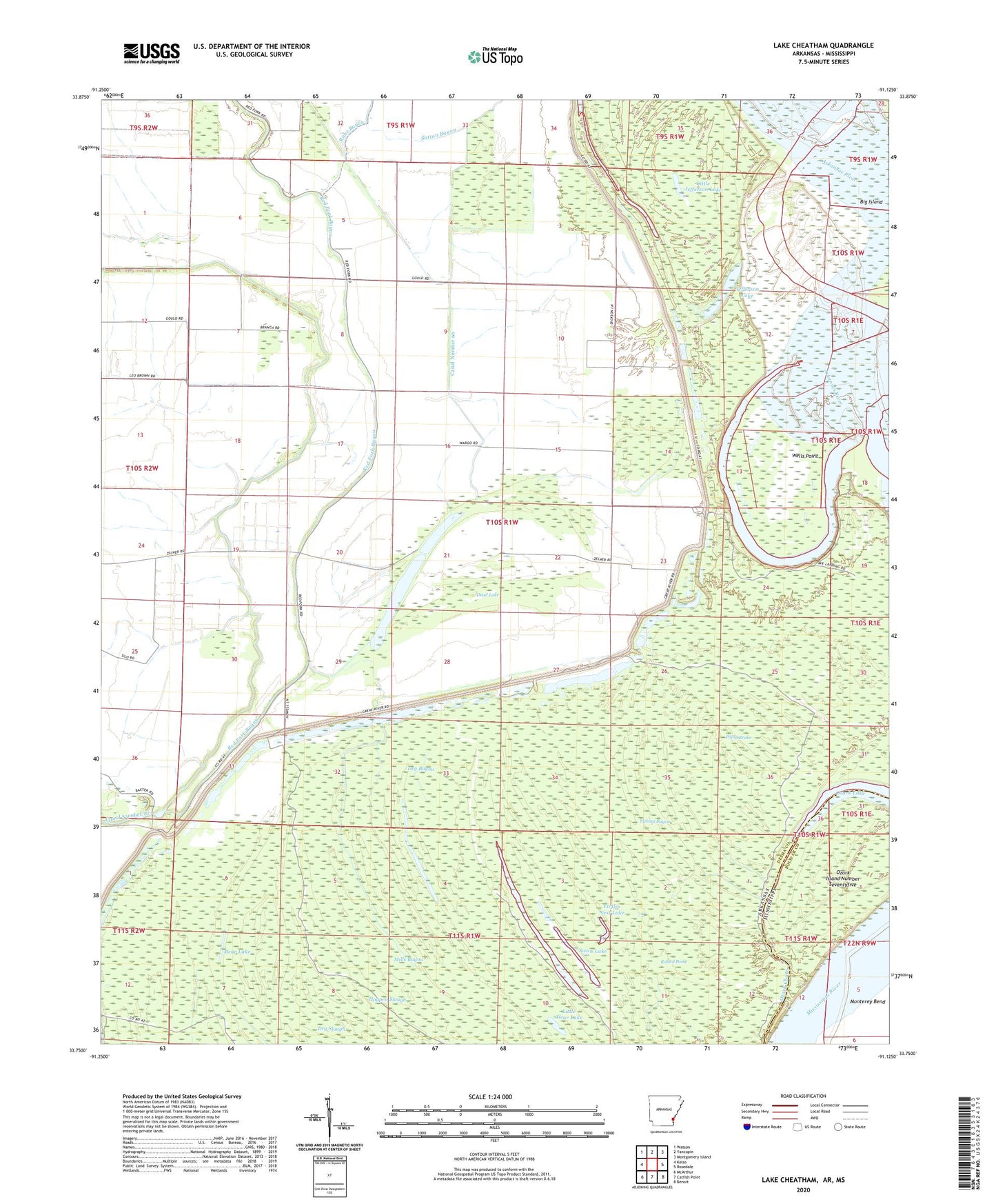
2024 topographic map quadrangle Lake Cheatham in the states of Arkansas, Mississippi. Scale: 1:24000. Based on the newly updated USGS 7.5' US Topo map series, this map is in the following counties: Desha, Bolivar. The map contains contour data, water features, and other items you are used to seeing on USGS maps, but also has updated roads and other features. This is the next generation of topographic maps. Printed on high-quality waterproof paper with UV fade-resistant inks.
Quads adjacent to this one:
West: Kelso
Northwest: Watson
North: Yancopin
Northeast: Montgomery Island
East: Rosedale
Southeast: Benoit
South: Catfish Point
Southwest: McArthur
Contains the following named places: Bear Lake, Callie Lake, Canal Number 66, Canal Number 81, Clear Lake, Cooks Ramp, Dead Lake, Deep Lake, Dry Bayou, Eagles Nest Lake, Fishing Bayou, Fishing Bayou Waterhole, Grindle Hole, Hogpen Slough, Jefferson Lake, Lake Cheatham, Little Clear Lake, Little Jefferson Lake, Mills Bayou, Monterey Bend, Ozark Island Number Seventyfive, Ozark Lake, Piling Brake, Red Fork Bayou, Round Pond, Rube Bayou, Saint Marys Church, Shiloh Landing Strip, Sutton Bayou, Swan Lake, Wargo Landing, Wells Point, ZIP Code: 71674


