MyTopo
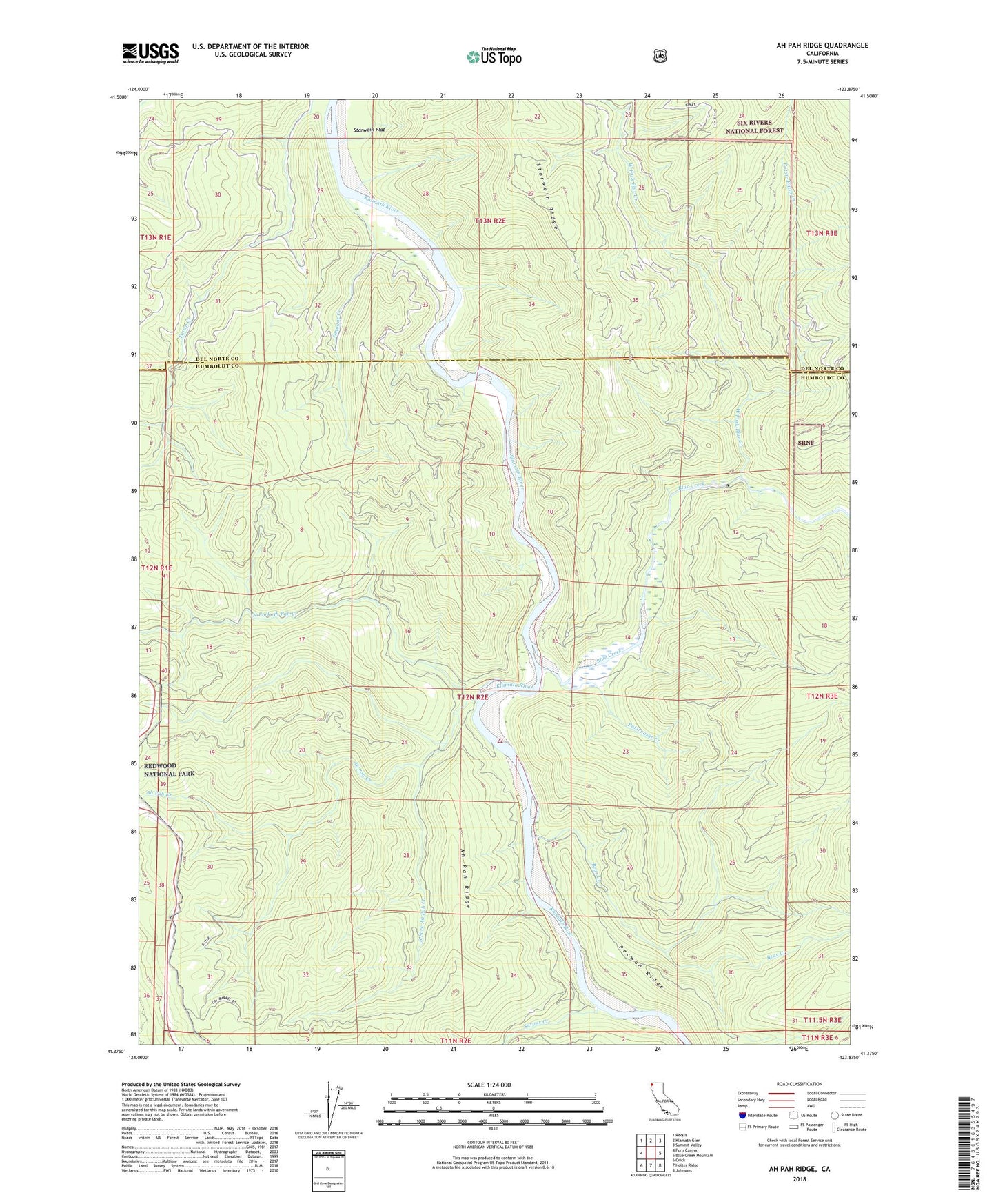
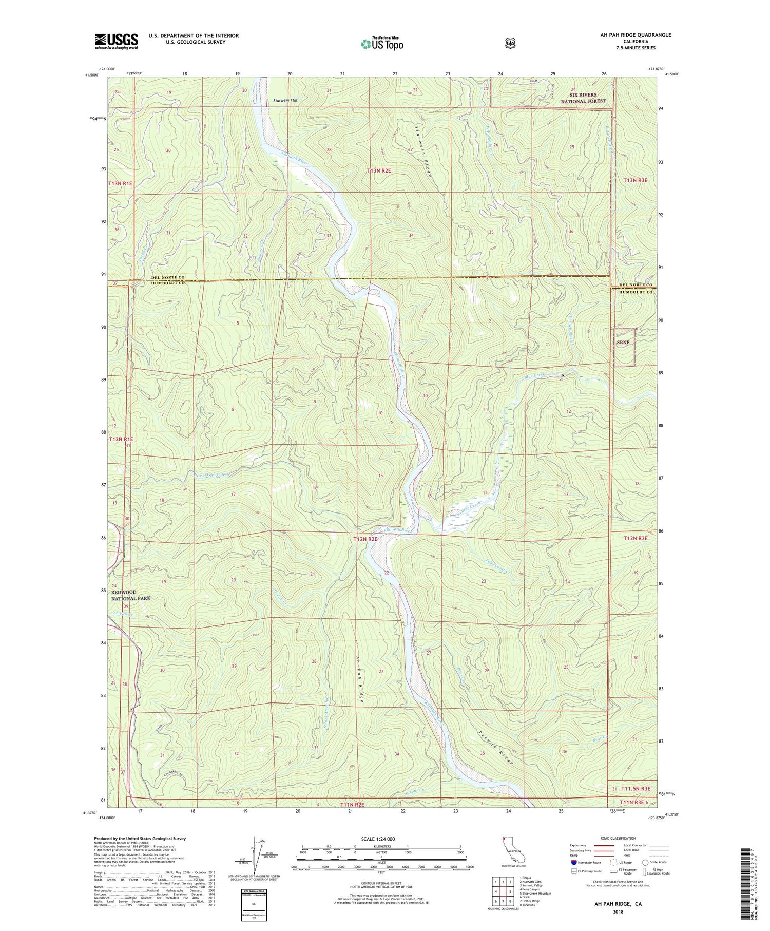
Ah Pah Ridge California US Topo Map
Couldn't load pickup availability
Also explore the Ah Pah Ridge Forest Service Topo of this same quad for updated USFS data
2021 topographic map quadrangle Ah Pah Ridge in the state of California. Scale: 1:24000. Based on the newly updated USGS 7.5' US Topo map series, this map is in the following counties: Humboldt, Del Norte. The map contains contour data, water features, and other items you are used to seeing on USGS maps, but also has updated roads and other features. This is the next generation of topographic maps. Printed on high-quality waterproof paper with UV fade-resistant inks.
Quads adjacent to this one:
West: Fern Canyon
Northwest: Requa
North: Klamath Glen
Northeast: Summit Valley
East: Blue Creek Mountain
Southeast: Johnsons
South: Holter Ridge
Southwest: Orick
This map covers the same area as the classic USGS quad with code o41123d8.
Contains the following named places: Ah Pah Creek, Ah Pah Ranch, Ah Pah Ridge, Bear Creek, Blue Creek, Blue Creek Campground, Blue Creek Lodge, Erner, McCovey Ranch, North Fork Ah Pah Creek, Omogar Creek, Orick District, Potato Patch Creek, Pularvasar Creek, South Fork Ah Pah Creek, Starwein Flat, Starwein Ridge, Surpur Creek, West Fork Blue Creek