MyTopo
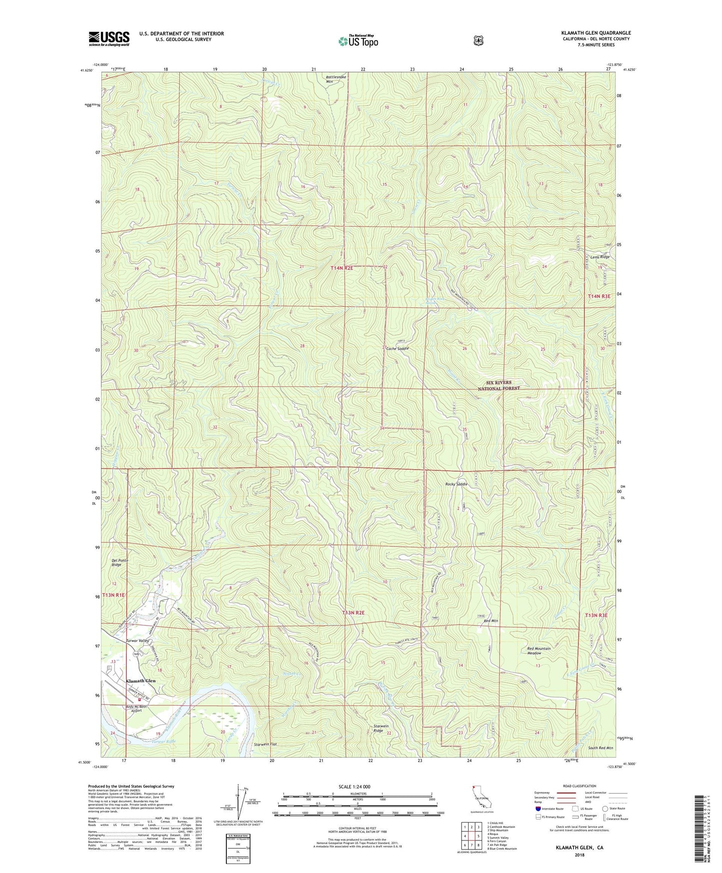
Klamath Glen California US Topo Map
Couldn't load pickup availability
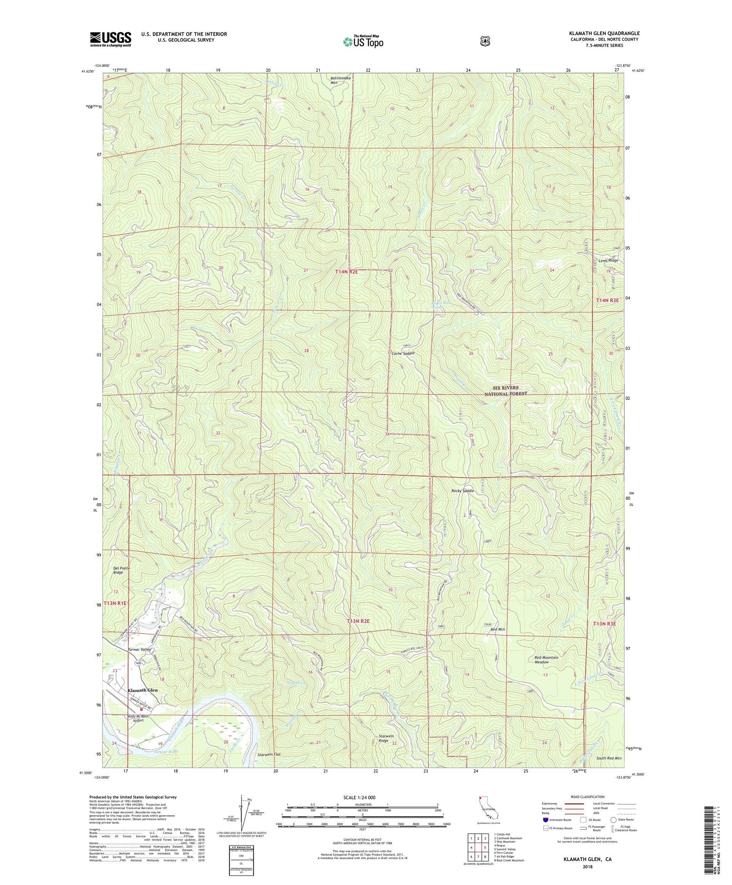
Also explore the Klamath Glen Forest Service Topo of this same quad for updated USFS data
2022 topographic map quadrangle Klamath Glen in the state of California. Scale: 1:24000. Based on the newly updated USGS 7.5' US Topo map series, this map is in the following counties: Del Norte. The map contains contour data, water features, and other items you are used to seeing on USGS maps, but also has updated roads and other features. This is the next generation of topographic maps. Printed on high-quality waterproof paper with UV fade-resistant inks.
Quads adjacent to this one:
West: Requa
Northwest: Childs Hill
North: Canthook Mountain
Northeast: Ship Mountain
East: Summit Valley
Southeast: Blue Creek Mountain
South: Ah Pah Ridge
Southwest: Fern Canyon
This map covers the same area as the classic USGS quad with code o41123e8.
Contains the following named places: Andy Mc Beth Airport, Boundary Trail, Broken Rock Spring, Cache Camp, Cache Saddle, East Fork Goose Creek, Guys Ranch, Kindig Camp, Klamath Census Designated Place, Klamath Fire Protection District Station 33, Klamath Glen, Klamath Station, Marlow Camp, Marlow Campsite, McGarvey Creek, Rattlesnake Mountain, Red Mountain, Red Mountain Lookout, Red Mountain Meadow, Requa District, Rocky Camp, Rocky Saddle, Scaath, Scaath Creek, Tarup Creek, Terwer School, Turwar Riffle, Worthla Creek