MyTopo
Alpine California US Topo Map
Couldn't load pickup availability
Also explore the Alpine Forest Service Topo of this same quad for updated USFS data
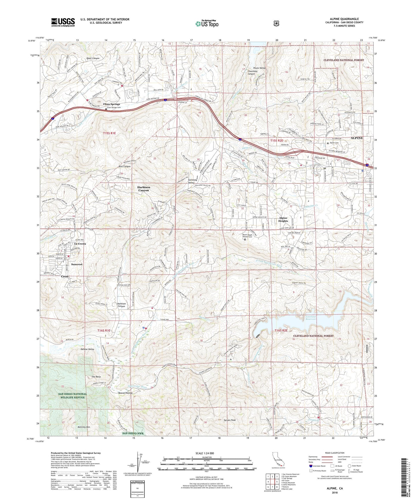
2021 topographic map quadrangle Alpine in the state of California. Scale: 1:24000. Based on the newly updated USGS 7.5' US Topo map series, this map is in the following counties: San Diego. The map contains contour data, water features, and other items you are used to seeing on USGS maps, but also has updated roads and other features. This is the next generation of topographic maps. Printed on high-quality waterproof paper with UV fade-resistant inks.
Quads adjacent to this one:
West: El Cajon
Northwest: San Vicente Reservoir
North: El Cajon Mountain
Northeast: Tule Springs
East: Viejas Mountain
Southeast: Barrett Lake
South: Dulzura
Southwest: Jamul Mountains
This map covers the same area as the classic USGS quad with code o32116g7.
Contains the following named places: Alpine, Alpine Branch San Diego County Library, Alpine Cemetery, Alpine Census Designated Place, Alpine Christian Fellowship Church, Alpine Church of Christ, Alpine Community Center, Alpine Community Church, Alpine Country Day School, Alpine Creek, Alpine Creek Shopping Center, Alpine Division, Alpine Elementary School, Alpine Fire Protection District Station 17, Alpine Heights, Alpine Lutheran Church, Alpine Post Office, Alpine Union Alternative Education School, Anderson Truck Trail, Beaver Hollow, Bethel Assembly of God Church, Blossom Valley, Blossom Valley Reservoir 1060 Dam, CAL FIRE Dehesa Fire Station 25, CAL FIRE Flinn Springs Fire Station 21, California Department of Forestry and Fire Protection District Station 33 - Lawson Valley, Chocolate Canyon, Christ the King Episcopal Church, Cornelius Ranch, Cornelius Ranch Truck Trail, Cornerstone Church, Country Side Shopping Center, Crest, Crest Branch San Diego County Library, Crest Census Designated Place, Crest Community Church, Crest Elementary School, Dehesa, Dehesa School, Dehesa Valley, First Baptist Church of Alpine, Flinn Springs, Flinn Springs Cemetery, Flinn Springs County Park, Flinn Springs Fire Control Station, Galloway Valley, Glen Oaks, Good Shepherd of the Hills Church, Harbison Canyon, Harbison Canyon Census Designated Place, Joan MacQueen Middle School, La Cresta, Lake Loveland 2020-002 Dam, Lakeside Fire Station 26 Blossom Valley, Lawson Creek, Lemon Grove Rod and Gun club, Loveland Fishing Access Trailhead, Loveland Reservoir, McClain Ranch, Mount Pisgah Pioneer Cemetery, Murphy Ranch, Nancy Jane County Park, North Fork Sweetwater River, Oak Ridge Quarry, Old Ironsides County Park, Peterson Canyon, Peutz Valley, Queen of Angels Catholic Church, Red Rose Quarry, Reynon Ranch, Rios Elementary School, Saint Louise de Marillac Catholic Church, San Diego County Sheriff's Office Alpine Station, San Miguel Consolidated Fire Protection District Station 18, Shadow Hills School, Sloan Ranch, South Lane Park, Starr Park Ranch, Suncrest, Sweetwater Falls Dam, Sycuan Creek, Sycuan Fire Department Station 1, Sycuan Peak, Sycuan Reservation, Sycuan Tribal Police Office, The Church of Jesus Christ of Latter Day Saints, The Mesa, Unity Church in the Country, Viejas Creek, West Boundary Truck Trail, ZIP Code: 92021


