MyTopo
Tule Springs California US Topo Map
Couldn't load pickup availability
Also explore the Tule Springs Forest Service Topo of this same quad for updated USFS data
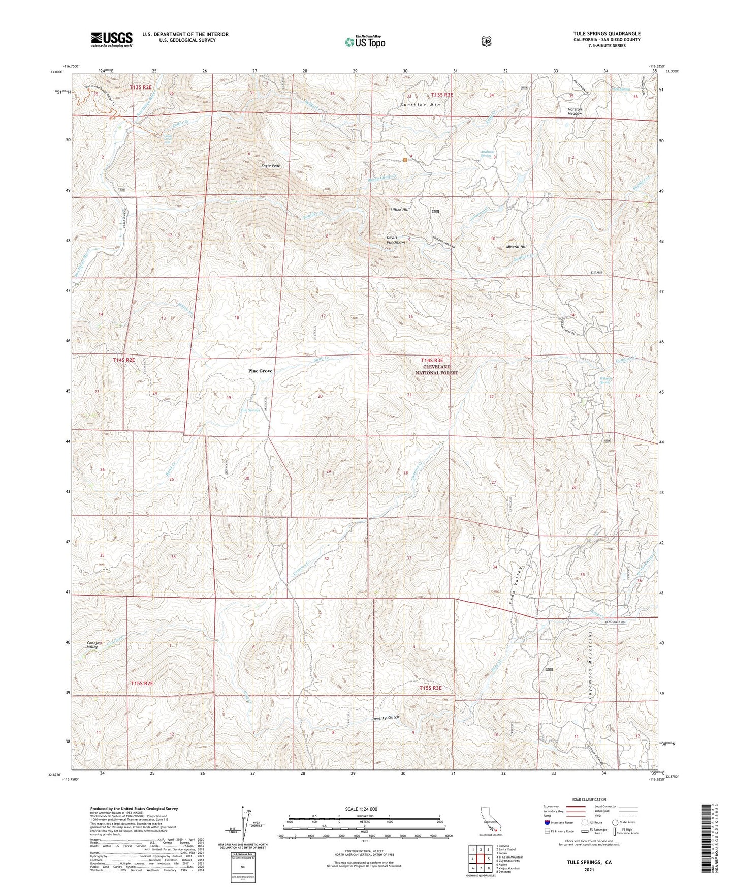
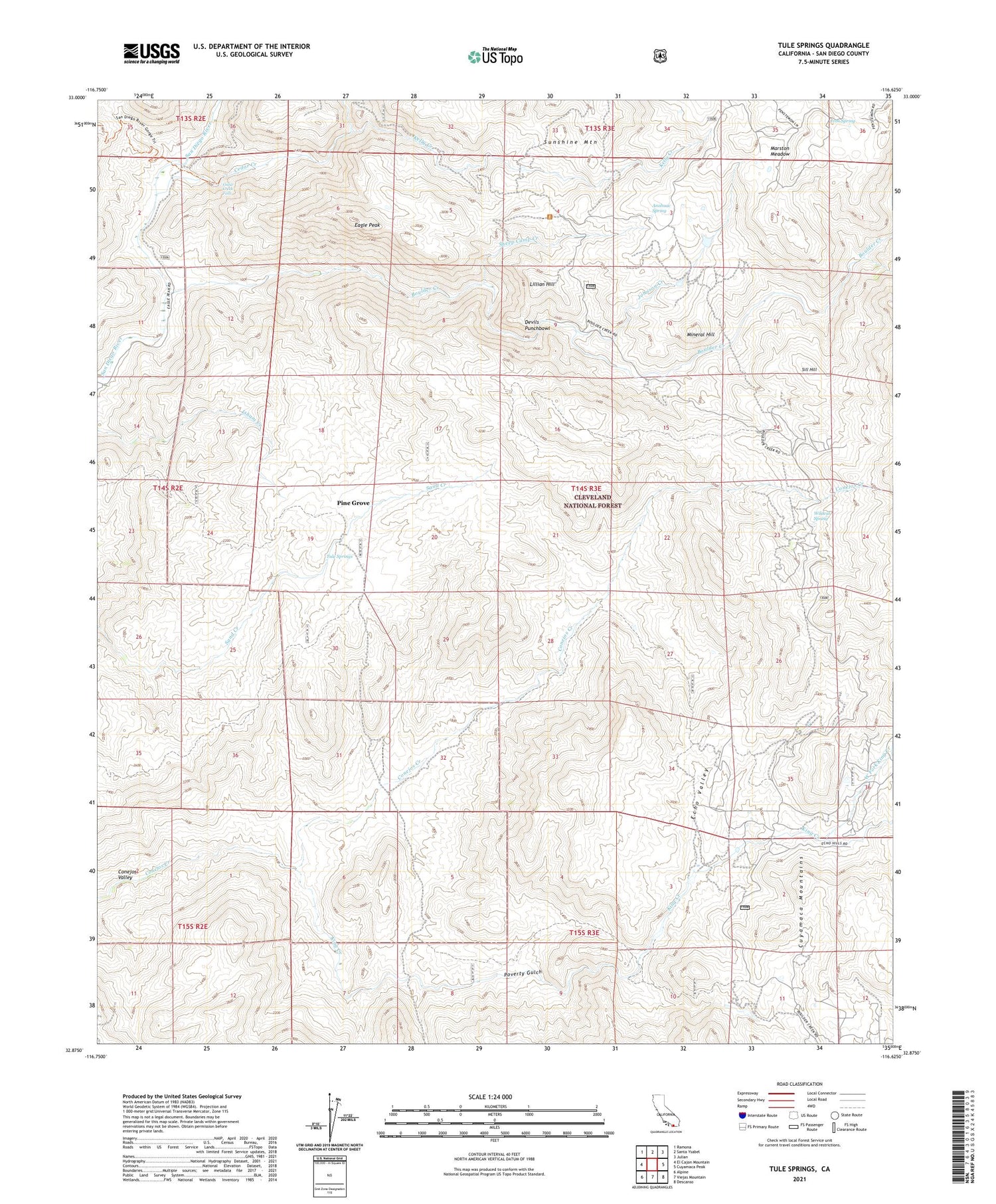
2021 topographic map quadrangle Tule Springs in the state of California. Scale: 1:24000. Based on the newly updated USGS 7.5' US Topo map series, this map is in the following counties: San Diego. The map contains contour data, water features, and other items you are used to seeing on USGS maps, but also has updated roads and other features. This is the next generation of topographic maps. Printed on high-quality waterproof paper with UV fade-resistant inks.
Quads adjacent to this one:
West: El Cajon Mountain
Northwest: Ramona
North: Santa Ysabel
Northeast: Julian
East: Cuyamaca Peak
Southeast: Descanso
South: Viejas Mountain
Southwest: Alpine
This map covers the same area as the classic USGS quad with code o32116h6.
Contains the following named places: Anahuac School, Anahuac Spring, Boulder Creek, Burney Ranch, Cedar Creek, Cedar Creek Falls, Coarse Gold Prospect, Conejos Valley, Devils Punchbowl, Eagle Peak, Echo Dell Ranch, Echo Valley, Gold Crown Prospect, Iron Spring, Johnson Creek, Kelly Creek, King Creek, Last Chance Mine, Lillian Hill, Marston Meadow, Mineral Hill, Mineral Hill Mine, Nona Prospect, Penny Mine, Pine Grove, Poverty Gulch, Prosperity Prospect, Rancho Alegria, Sheep Camp Creek, Sherilton Valley Ranch, Sill Hill, Spanish Bayonet Mine, Sunshine Mountain, Tule Springs, West Fork King Creek, Wildcat Spring


