MyTopo
Antioch North California US Topo Map
Couldn't load pickup availability
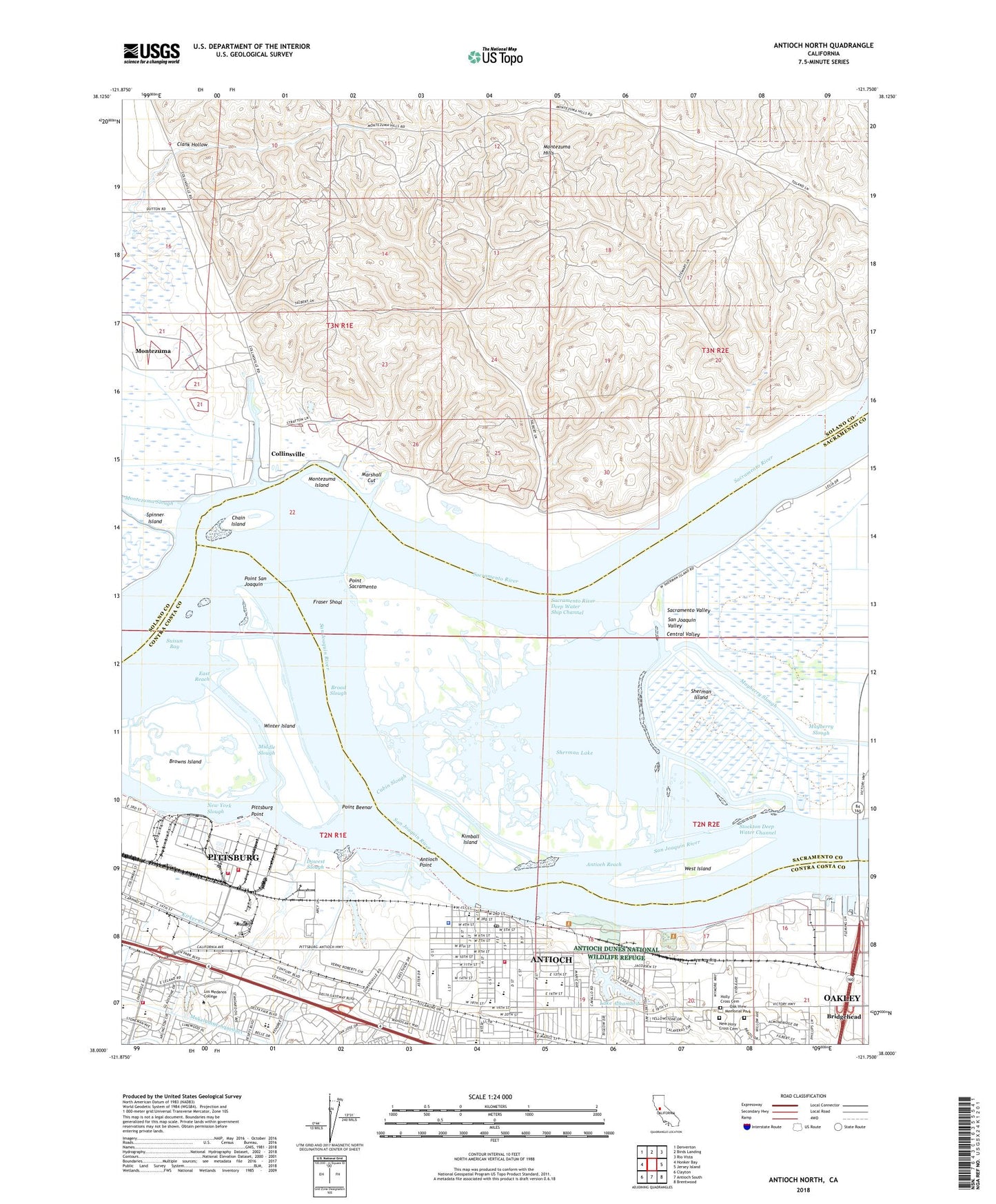
2021 topographic map quadrangle Antioch North in the state of California. Scale: 1:24000. Based on the newly updated USGS 7.5' US Topo map series, this map is in the following counties: Solano, Sacramento, Contra Costa. The map contains contour data, water features, and other items you are used to seeing on USGS maps, but also has updated roads and other features. This is the next generation of topographic maps. Printed on high-quality waterproof paper with UV fade-resistant inks.
Quads adjacent to this one:
West: Honker Bay
Northwest: Denverton
North: Birds Landing
Northeast: Rio Vista
East: Jersey Island
Southeast: Brentwood
South: Antioch South
Southwest: Clayton
This map covers the same area as the classic USGS quad with code o38121a7.
Contains the following named places: Almondridge Park, Antioch, Antioch Adult and Community Education Center, Antioch Branch Contra Costa County Library, Antioch Bridge, Antioch City Hall, Antioch City Marina, Antioch City Park, Antioch Dunes National Wildlife Refuge, Antioch High School, Antioch Historical Center, Antioch Hospital, Antioch Middle School, Antioch Pier, Antioch Point, Antioch Police Department, Antioch Public Fishing Pier, Antioch Reach, Antioch Square Shopping Center, Antioch Station, Antioch-Pittsburg Division, Bidwell Elementary School, Blackjack Club, Bridgehead, Broad Slough, Browns Island, Browns Island Regional Shoreline, Cabin Slough, Calvary Chapel, Central Addition Park, Central Junior High School, Century Plaza Shopping Center, Chain Island, Christian Word Fellowship, Church of Christ, Clank Hollow, Collinsville, Collinsville Cemetery, Contra Costa County Fairgrounds, Contra Costa County Fire Protection District Station 81, Contra Costa County Fire Protection District Station 85, Contra Loma Park, County East Shopping Center, Delta Square Shopping Center, Donlon Lake, Dow Chemical Company Fire Department, Dow Wetlands Preserve, Dowest Slough, East Reach, Eastwood Plaza Shopping Center, Empire, Fairview Park, First Baptist Church of Antioch, First Church of Christ Scientist, First Congregational Church, Fraser Shoal, Fremont Elementary School, Gateway Generating Station, Holly Cross Cemetery, Holy Rosary Catholic School, Hooper, Iglesia Biblica Bautista Antioquia, John Marsh Elementary School, John Muir School, Kaiser Medical Center, Kimball Elementary School, Kimball Island, Kirker Creek, KKIS-AM (Pittsburg), Lake Alhambra, Live Oak High School, Lloyds Holiday Harbor, Lone Tree Community Church, Lone Tree Island, Los Medanos, Los Medanos College, Los Medanos Community Hospital, Marchetti Park, Marina Park, Marsh Landing, Marshall Cut, Martin Luther King Childrens Center, Mayberry Cut, Mayberry Slough, Meadowbrook Park, Middle Slough, Montezuma, Montezuma Hills, Montezuma Island, Montezuma Landing, Morris Sand Pit, Most Holy Rosary Catholic Church, New Bridge Marina, New Holy Cross Cemetery, New Life Baptist Church, New Life Free Methodist Church, New York Slough, Oak View Memorial Park, Perley Landing, Pittsburg Landing, Pittsburg Point, Point Beenar, Point Sacramento, Point San Joaquin, Prospects Alternative High School, Rivertown Post Office, Sacramento River, Sacramento Valley, Sacramento-San Joaquin Delta, Saint George's Episcopal Church, Saint Johns Lutheran Church, San Joaquin Harbor, San Joaquin River, Sandy Beach Park, Sherman Island Gas Field, Sherman Island Waterfowl Management Area, Sherman Lake, Sixth Street Park, Spinner Island, Stoneman Elementary School, Sycamore Plaza Shopping Center, Templo Santo Church, Toland Landing, Turner Elementary School, USS - Posco Industries Fire Department, Veterans Memorial Building, West Island, Winter Island, Wood-Curtis Landing