MyTopo
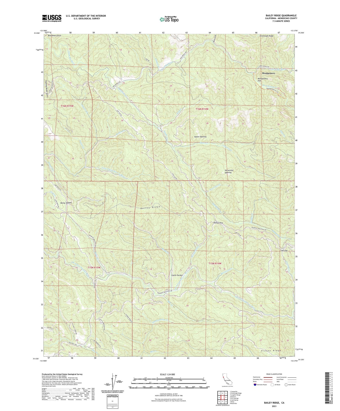
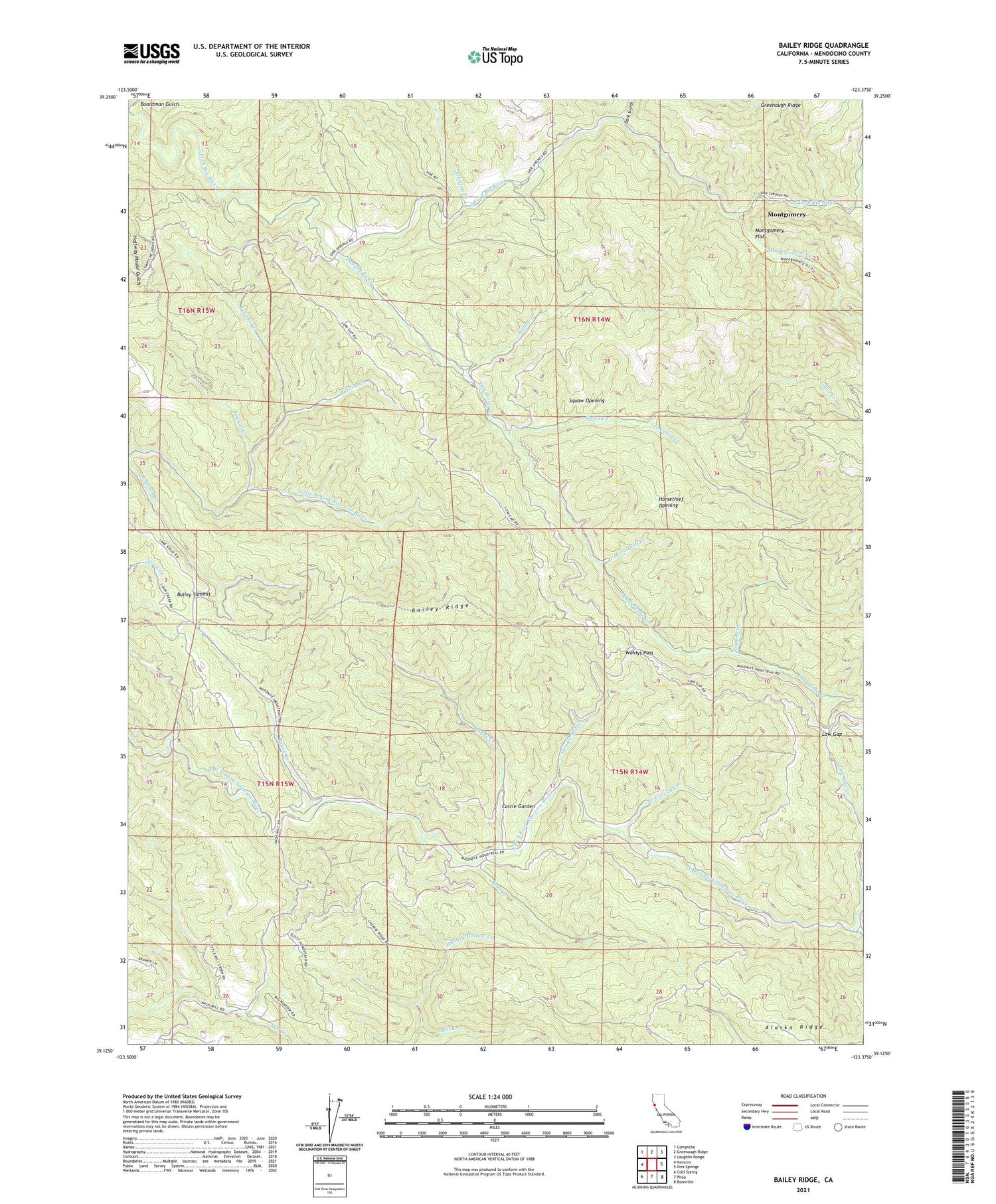
Bailey Ridge California US Topo Map
Couldn't load pickup availability
2023 topographic map quadrangle Bailey Ridge in the state of California. Scale: 1:24000. Based on the newly updated USGS 7.5' US Topo map series, this map is in the following counties: Mendocino. The map contains contour data, water features, and other items you are used to seeing on USGS maps, but also has updated roads and other features. This is the next generation of topographic maps. Printed on high-quality waterproof paper with UV fade-resistant inks.
Quads adjacent to this one:
West: Navarro
Northwest: Comptche
North: Greenough Ridge
Northeast: Laughlin Range
East: Orrs Springs
Southeast: Boonville
South: Philo
Southwest: Cold Spring
This map covers the same area as the classic USGS quad with code o39123b4.
Contains the following named places: Bailey Creek, Bailey Ridge, Bailey Summit, Bear Creek, Bottom Creek, Bridge Creek, Castle Garden, Dark Gulch, Daugherty Creek, Gates Creek, Hansen School, Horsethief Creek, Horsethief Opening, Hungry Hollow Creek, Johnson Creek, Leonard Ranch, Low Gap, Low Gap Creek, McCarvey Creek, Montgomery, Montgomery Creek, Montgomery Flat, Montgomery Woods State Natural Reserve, Nivens Ranch, Old Bailey Place, Rose Creek, Sawyer Creek, Scott Ranch, Shingle Mill Creek, Snuffins Creek, Soda Creek, Spooner Creek, Squaw Opening, Wohlys Pass


