MyTopo
Bell Springs California US Topo Map
Couldn't load pickup availability
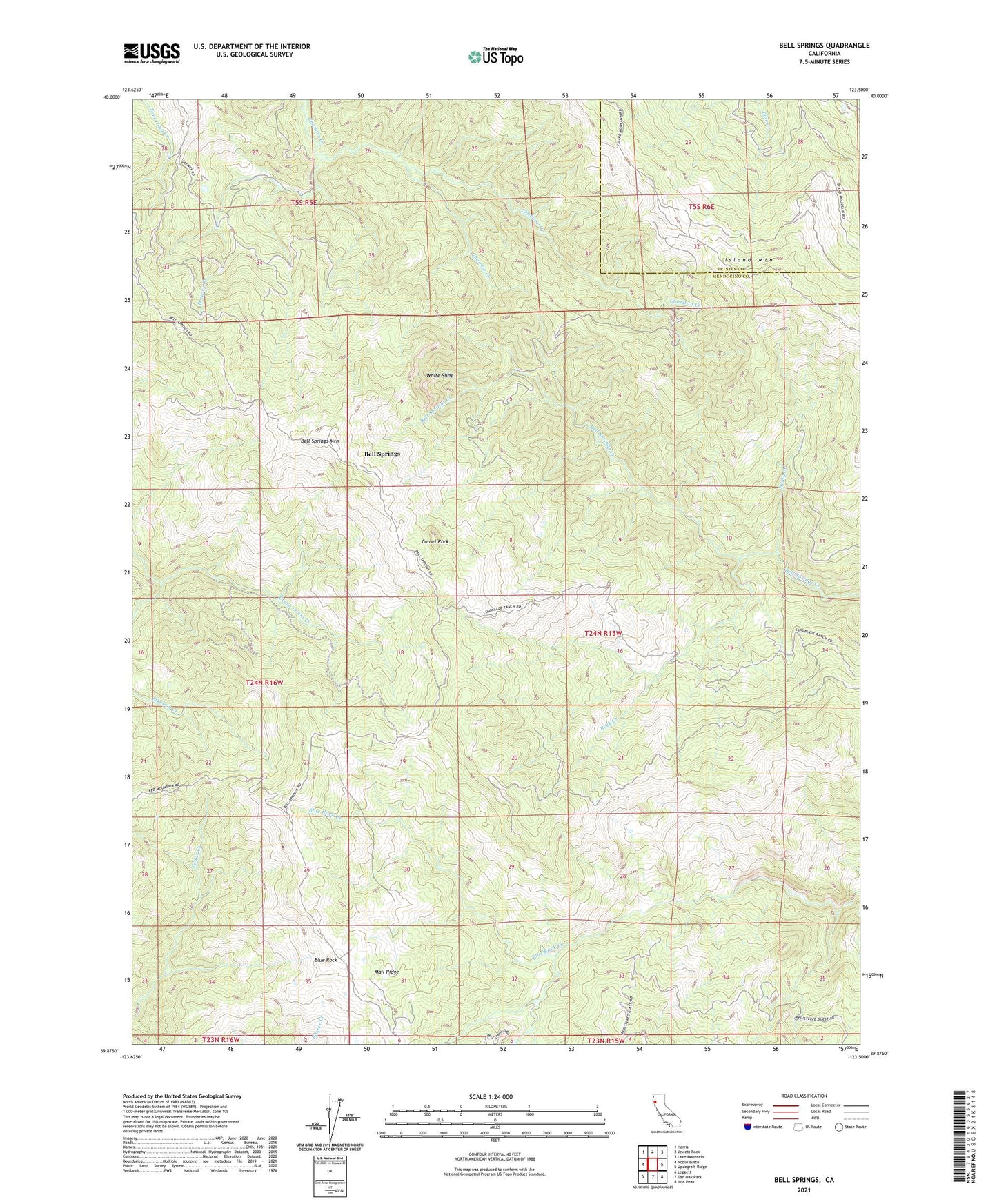
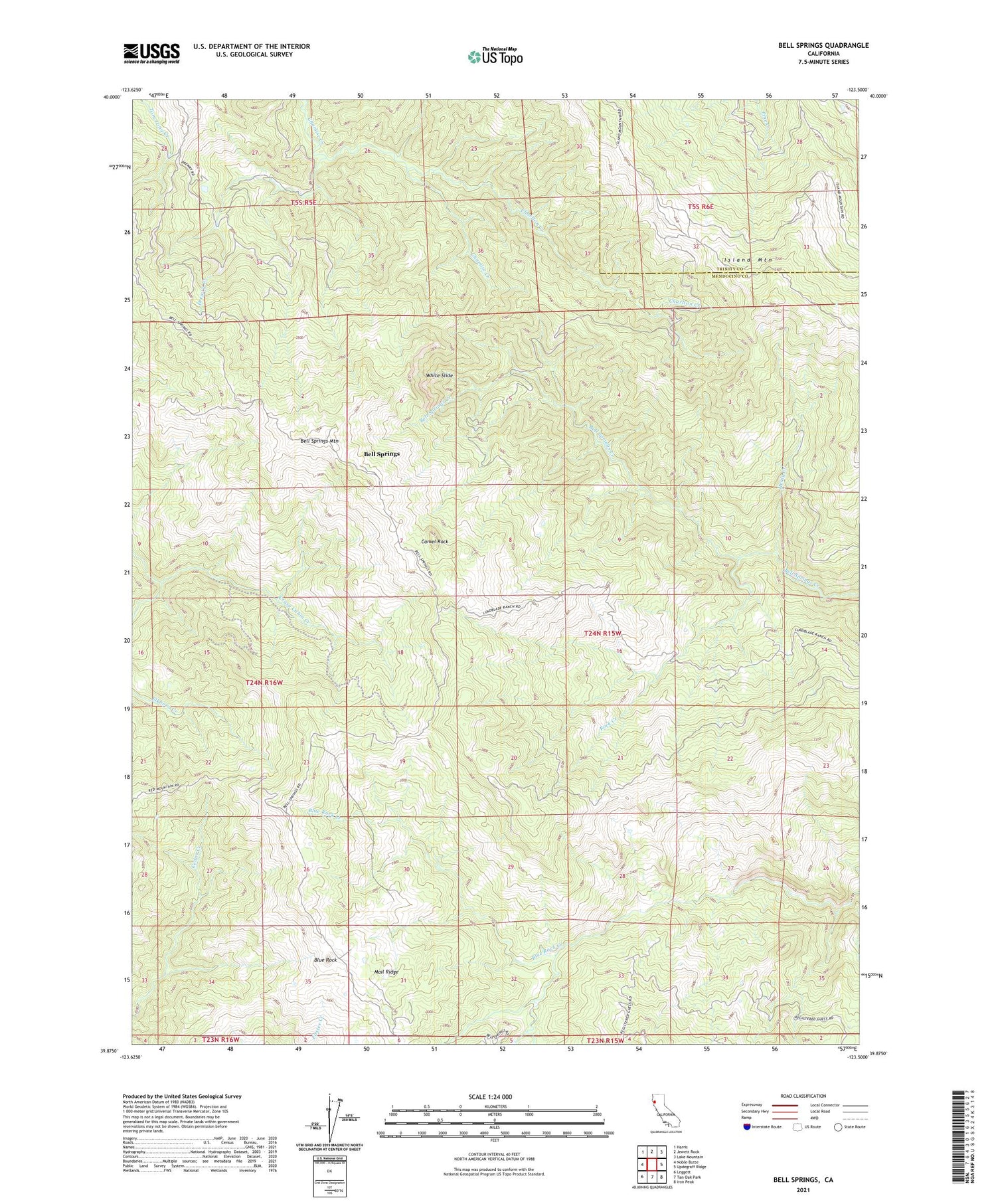
2021 topographic map quadrangle Bell Springs in the state of California. Scale: 1:24000. Based on the newly updated USGS 7.5' US Topo map series, this map is in the following counties: Mendocino, Trinity. The map contains contour data, water features, and other items you are used to seeing on USGS maps, but also has updated roads and other features. This is the next generation of topographic maps. Printed on high-quality waterproof paper with UV fade-resistant inks.
Quads adjacent to this one:
West: Noble Butte
Northwest: Harris
North: Jewett Rock
Northeast: Lake Mountain
East: Updegraff Ridge
Southeast: Iron Peak
South: Tan Oak Park
Southwest: Leggett
This map covers the same area as the classic USGS quad with code o39123h5.
Contains the following named places: Bell Springs, Bell Springs Mountain, Blue Rock, Blue Rock Ranch, Camel Rock, Charlton Creek, Cross-P Ranch, Cruso Cabin Creek, Drewry Creek, Drewry Ranch, Henly Creek, Linser Ranch, Redwine Cabin, Rock Creek, White Slide