MyTopo
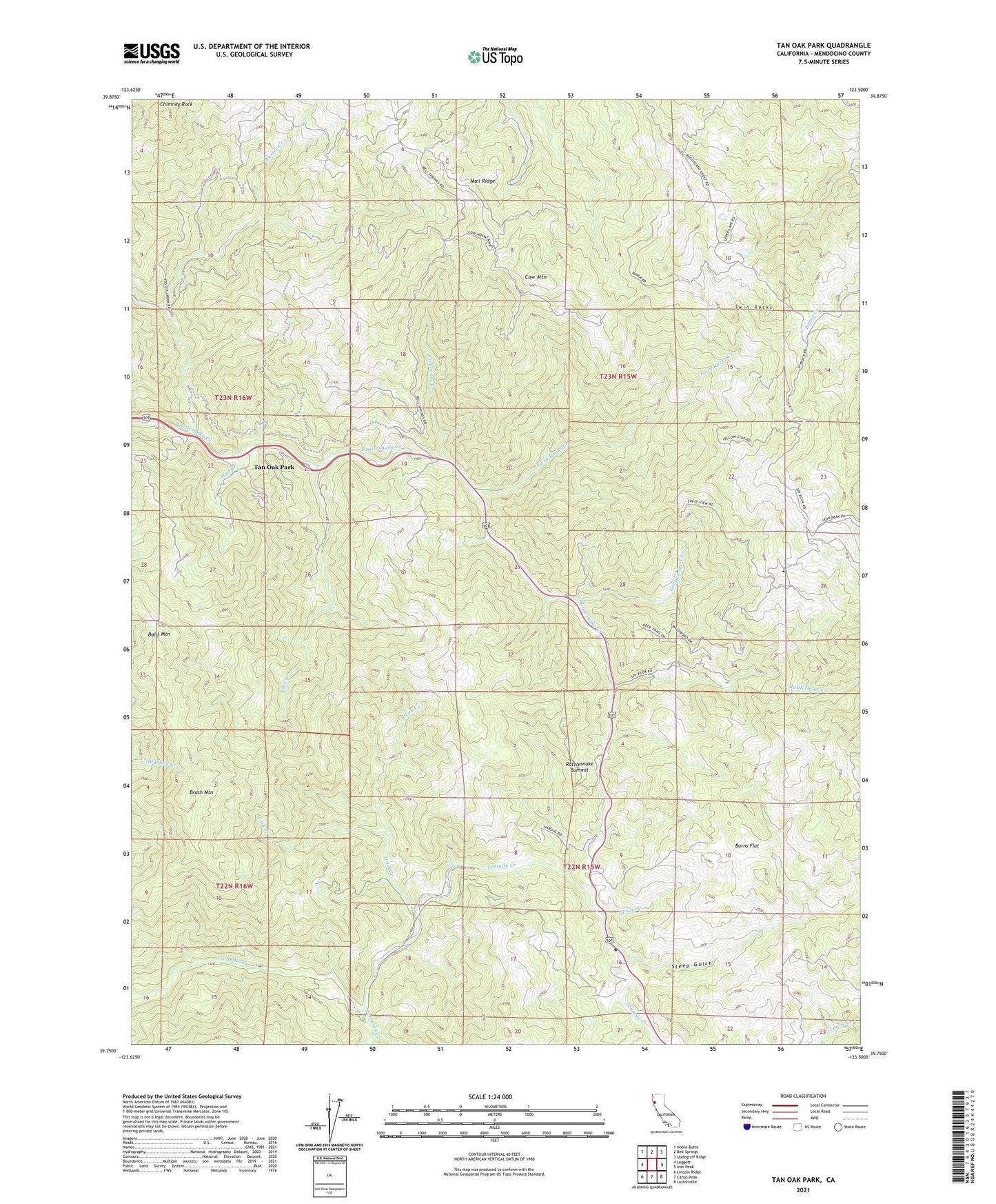
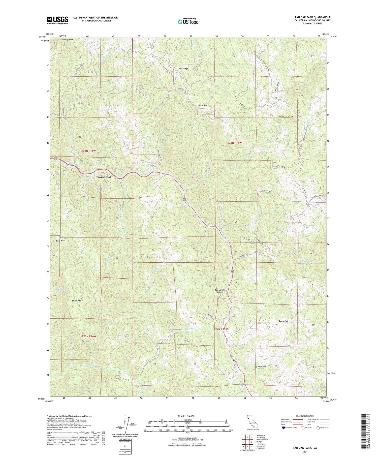
Tan Oak Park California US Topo Map
Couldn't load pickup availability
2021 topographic map quadrangle Tan Oak Park in the state of California. Scale: 1:24000. Based on the newly updated USGS 7.5' US Topo map series, this map is in the following counties: Mendocino. The map contains contour data, water features, and other items you are used to seeing on USGS maps, but also has updated roads and other features. This is the next generation of topographic maps. Printed on high-quality waterproof paper with UV fade-resistant inks.
Quads adjacent to this one:
West: Leggett
Northwest: Noble Butte
North: Bell Springs
Northeast: Updegraff Ridge
East: Iron Peak
Southeast: Laytonville
South: Cahto Peak
Southwest: Lincoln Ridge
This map covers the same area as the classic USGS quad with code o39123g5.
Contains the following named places: Bald Mountain, Bald Mountain Ranch, Bowman Place, Brush Mountain, Burns Flat, Camp Seabow, Chimney Rock, Cold Creek, Cow Mountain, Cummings Creek, Elk Creek, Empire, Empire Roadside Rest, Foster Creek, Grapewine Creek, Grub Creek, Mad Creek, Peterson Creek, Rattlesnake Summit, Redwine Ranch, Spring Creek, Spy Rock Elementary School, Steep Gulch, Tan Oak Park, Twin Rocks, Twin Rocks Creek, ZIP Code: 95454