MyTopo
Burbeck California US Topo Map
Couldn't load pickup availability
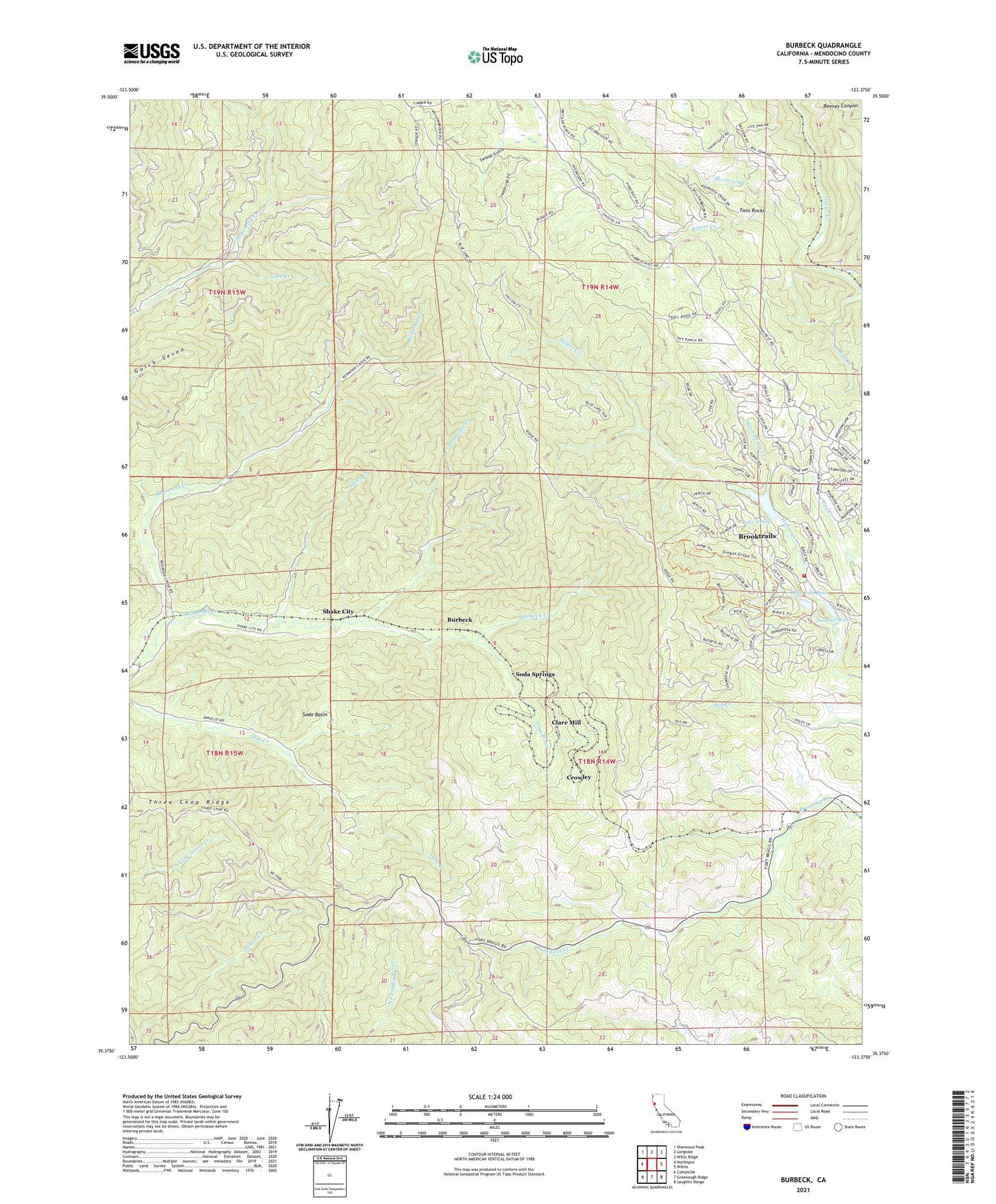
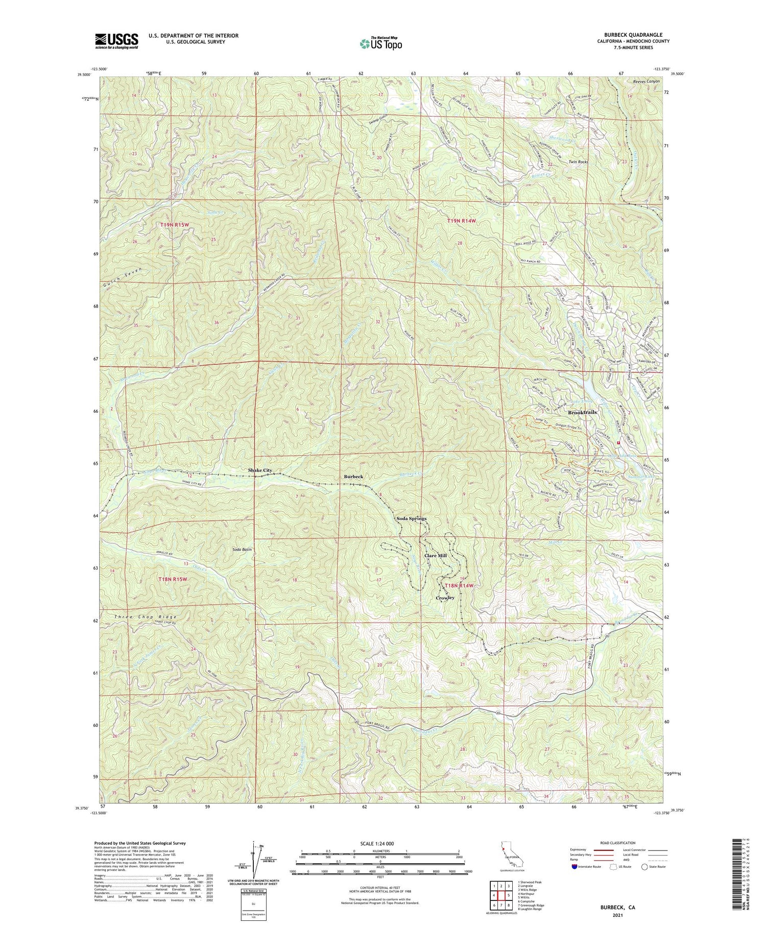
2021 topographic map quadrangle Burbeck in the state of California. Scale: 1:24000. Based on the newly updated USGS 7.5' US Topo map series, this map is in the following counties: Mendocino. The map contains contour data, water features, and other items you are used to seeing on USGS maps, but also has updated roads and other features. This is the next generation of topographic maps. Printed on high-quality waterproof paper with UV fade-resistant inks.
Quads adjacent to this one:
West: Northspur
Northwest: Sherwood Peak
North: Longvale
Northeast: Willis Ridge
East: Willits
Southeast: Laughlin Range
South: Greenough Ridge
Southwest: Comptche
This map covers the same area as the classic USGS quad with code o39123d4.
Contains the following named places: Bennett Ranch, Brooktrails, Brooktrails Census Designated Place, Brooktrails Fire Department, Brooktrails Golf Course, Brooktrails Number 3 N 1038-003 Dam, Brooktrails Ranch, Bull Creek, Burbeck, Burbeck Creek, Cat Trail, Clare Mill, Crater, Crowley, Dutch Henry Creek, Fawn Lily Trail, Gooseberry Trail, Gulch Creek, Horseshoe Ranch, Inlet Trail, Lake Ada Rose, Lake Ada Rose 1038 Dam, Lake Emily, McMullen Creek, Meadowlark Trail, Mendocino County, Nutmeg Trail, Old Northwestern Mill, Oregon Grape Trail, Redwood Creek, Rowes, Rowes Creek, Ryan Creek, Shake City, Sherwood Creek, Soda Basin, Soda Creek, Soda Springs, Summer Lake, Summit, Swamp Gulch, Sylvandale, Tan Bark Trail, Three Chop Ridge, Twin Rocks


