MyTopo
Willits California US Topo Map
Couldn't load pickup availability
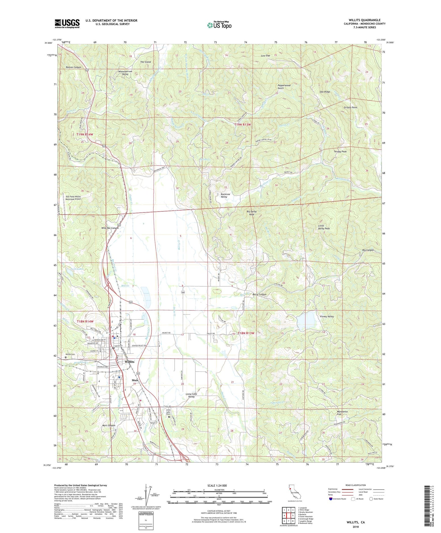
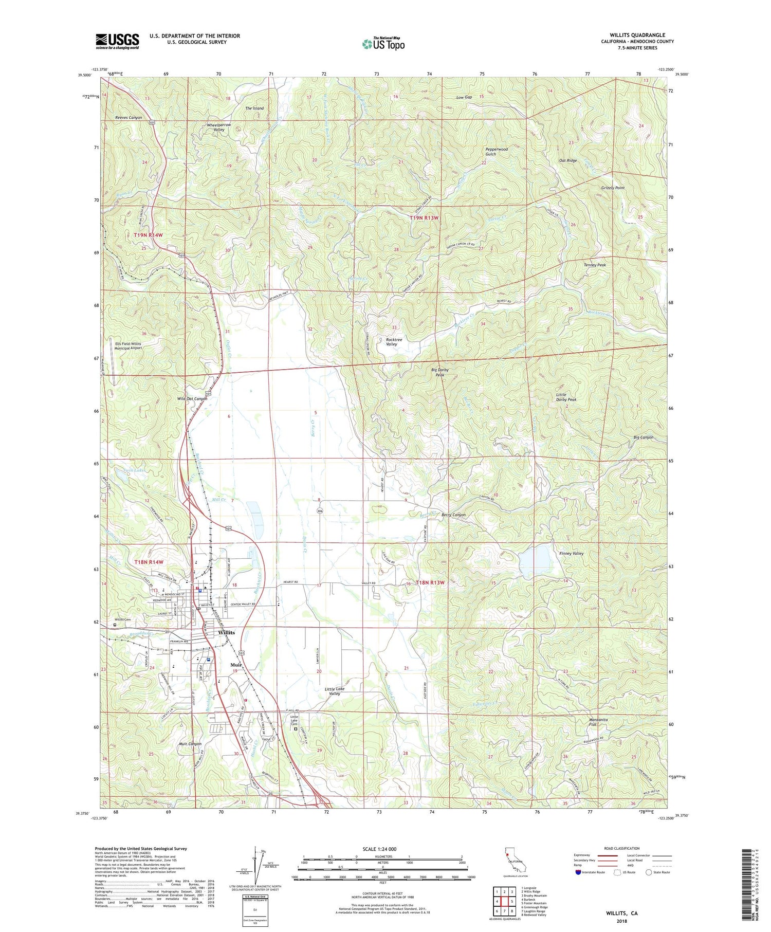
2022 topographic map quadrangle Willits in the state of California. Scale: 1:24000. Based on the newly updated USGS 7.5' US Topo map series, this map is in the following counties: Mendocino. The map contains contour data, water features, and other items you are used to seeing on USGS maps, but also has updated roads and other features. This is the next generation of topographic maps. Printed on high-quality waterproof paper with UV fade-resistant inks.
Quads adjacent to this one:
West: Burbeck
Northwest: Longvale
North: Willis Ridge
Northeast: Brushy Mountain
East: Foster Mountain
Southeast: Redwood Valley
South: Laughlin Range
Southwest: Greenough Ridge
This map covers the same area as the classic USGS quad with code o39123d3.
Contains the following named places: Alder Creek, Babcock Park, Baechtel Creek, Baechtel Grove Middle School, Bee Branch Creek, Berry Canyon, Berry Creek, Big Canyon, Big Darby Peak, Blosser Lane Elementary School, Broaddus Creek, Brookside Elementary School, Buckhorn Ranch, Chinquapin 1384-002 Dam, City of Willits, Davis Creek, DeCamp, Digger Creek, Elk Creek, Ells Field-Willits Municipal Airport, Fair Oaks, Fife Ranch, Finney Valley, First Assembly of God Church, First Baptist Church, Ford Ranch, Frank R Howard Memorial Hospital, Fulweiter Creek, Grizzly Point, Haehl Creek, Hearst School, High Salt Ground, Highway Twenty Park, KLLK-AM (Willits), Little Creek, Little Darby Peak, Little Lake Cemetery, Little Lake Fire Protection District Station 1, Little Lake Fire Protection District Station 2, Little Lake Valley, Low Gap, Manzanita Flat, Mendocino County Museum, Mendocino County Sheriff's Office, Middle Spring Creek, Mill Creek, Moore Creek, Muir, Muir Canyon, Muir Ranch, New Horizons Alternative School, North Fork String Creek, Oat Ridge, Outlet, Pepperwood Gulch, Rickards Ranch, Rocktree Valley, Saint Anthonys Catholic Church, Saint Francis Ranch, Saint John Ranch, San Hedrin Continuation School, San Hedrin High School, Scout Lake 389 Dam, Simerson, String Creek, Sunnybrook Ranch, Tartar Creek, Tenney Peak, The Island, Twin Lakes, Upp, Upp Creek, Valley Oaks Mobile Home Park, Veterans Memorial Building, Wagon Wheel Mobile Home Park, Walnut Grove Ranch, West Fork Shelving Rock Creek, Wild Oat Canyon, Willits, Willits Branch Mendocino County Library, Willits Cemetery, Willits Center Community College, Willits Charter School, Willits City Park, Willits Creek, Willits Division, Willits Grammar School, Willits High School, Willits Police Department, Willits Post Office, Willits Rodeo Grounds, Willits Secondary Community Day School, Willits Senior Citizens Center, Willits Seventh Day Adventist School, Willits United Methodist Church, ZIP Code: 95490


