MyTopo
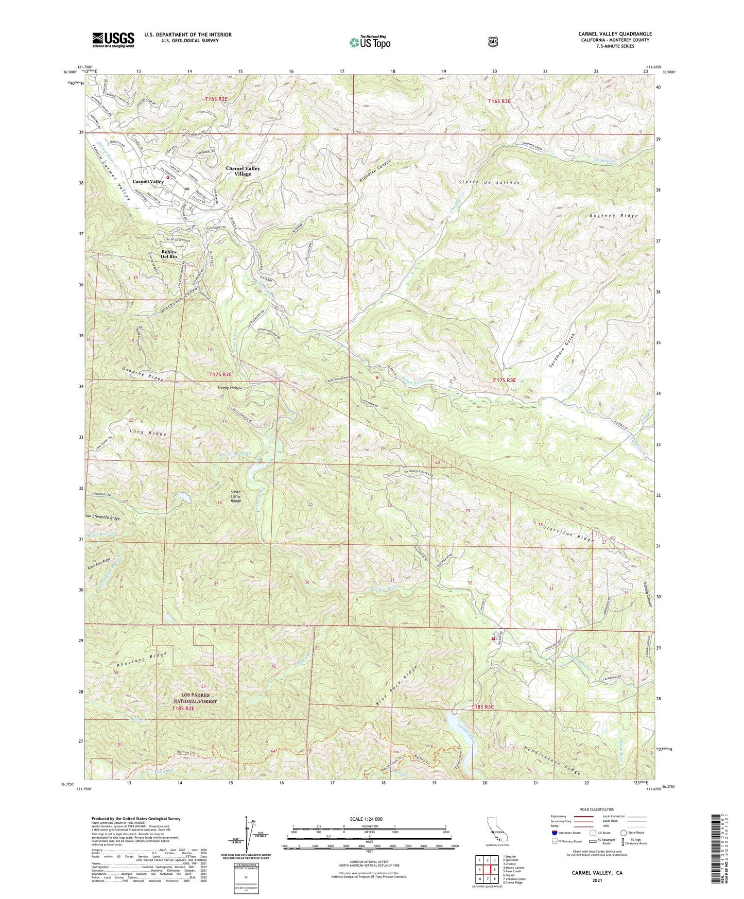
Carmel Valley California US Topo Map
Couldn't load pickup availability
Also explore the Carmel Valley Forest Service Topo of this same quad for updated USFS data
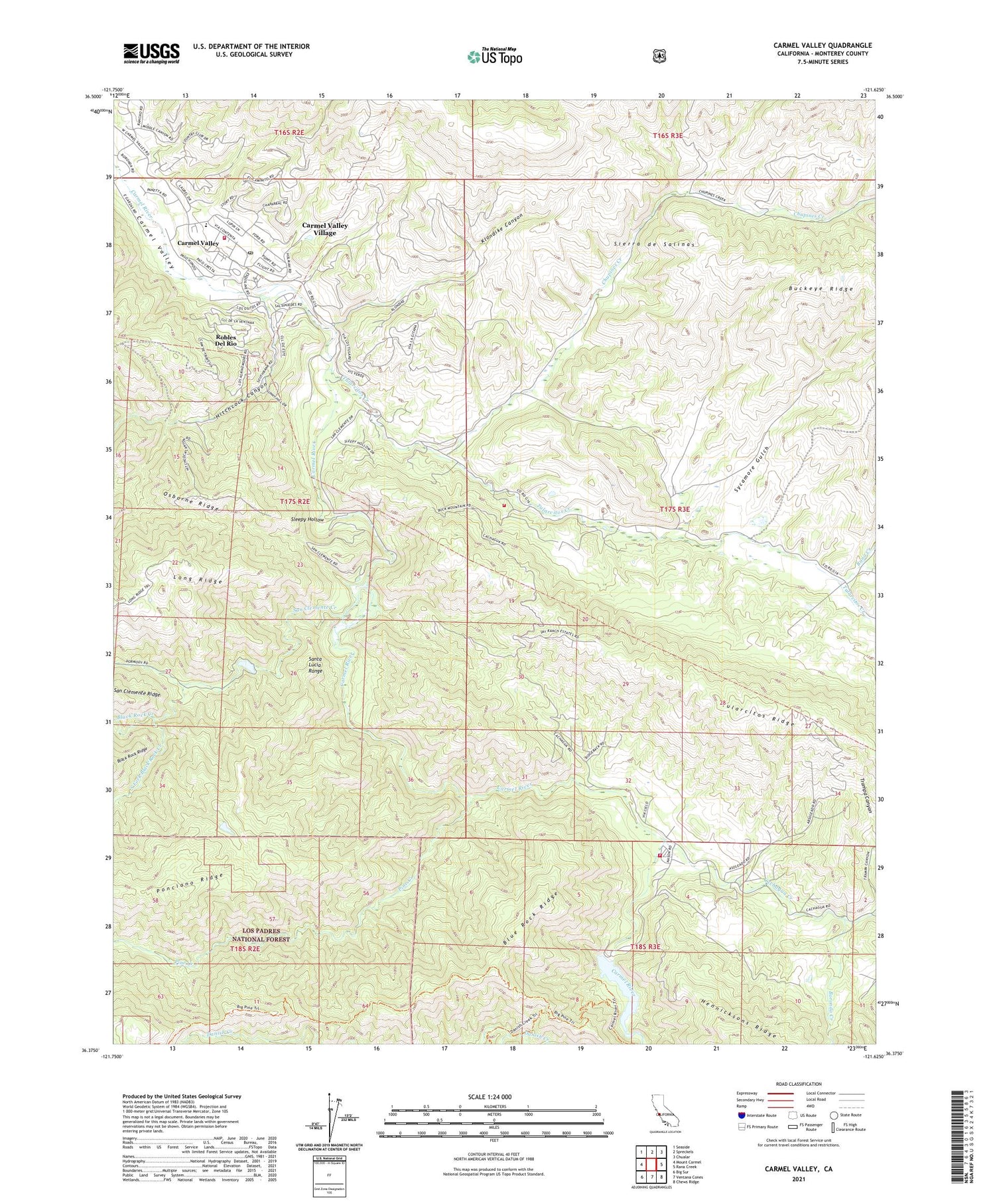
2021 topographic map quadrangle Carmel Valley in the state of California. Scale: 1:24000. Based on the newly updated USGS 7.5' US Topo map series, this map is in the following counties: Monterey. The map contains contour data, water features, and other items you are used to seeing on USGS maps, but also has updated roads and other features. This is the next generation of topographic maps. Printed on high-quality waterproof paper with UV fade-resistant inks.
Quads adjacent to this one:
West: Mount Carmel
Northwest: Seaside
North: Spreckels
Northeast: Chualar
East: Rana Creek
Southeast: Chews Ridge
South: Ventana Cones
Southwest: Big Sur
This map covers the same area as the classic USGS quad with code o36121d6.
Contains the following named places: Agua Mala Creek, Black Rock Creek, Blue Rock Ridge, Boronda Adobe, Boronda Creek, Cachagua Creek, Cachagua Fire Protection District Station 1 Nason Road, Camp Stephani, Carmel River Guard Station, Carmel Valley, Carmel Valley Airport, Carmel Valley Branch Monterey County Free Libraries, Carmel Valley Chamber of Commerce, Carmel Valley Community Chapel, Carmel Valley Division, Carmel Valley Post Office, Carmel Valley Shopping Center, Carmel Valley Trail and Saddle Club, Carmel Valley Village, Carmel Valley Village Census Designated Place, Chupines Creek, Danish Creek Recreation Site, Department of Forestry and Fire Protection Cachagua Fire Protection District Station 2, Hitchcock Canyon, Holman Ranch, J Gardiners Tennis Ranch, Klondike Canyon, Long Ridge, Los Padres 642-004 Dam, Los Padres Dam, Lower Pine Creek Rustic Campsite, Monterey County Regional Fire District Station 4 - Village, Osborne Ridge, Pine Creek, Ponciano Ridge, Princes Camp, Rana Creek, Rancho Del Monte, Rattlesnake Creek, Rattlesnake Creek Trail, Robles Del Rio, San Clemente 642 Dam, San Clemente Creek, San Clemente Dam, San Clemente Trail, Sleepy Hollow, South Fork Black Rock Creek, Sycamore Gulch, Tassajara School, Trampa Canyon, Tularcitos Creek, Tularcitos Elementary School, Tularcitos Guard Station, Tularcitos Ranch, Tularcitos Ridge, Tularcitos School, ZIP Code: 93924


