MyTopo
Chester California US Topo Map
Couldn't load pickup availability
Also explore the Chester Forest Service Topo of this same quad for updated USFS data
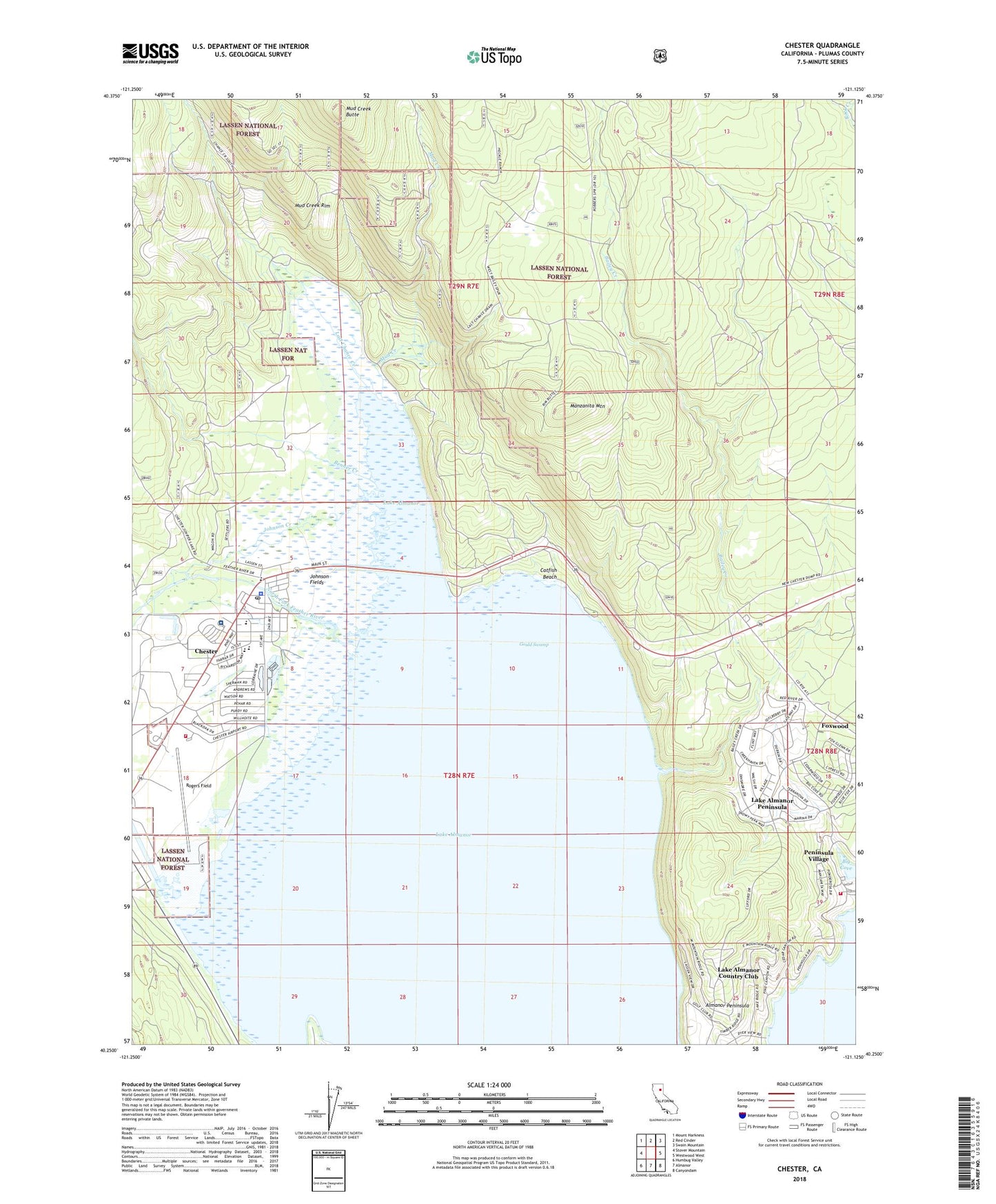
2022 topographic map quadrangle Chester in the state of California. Scale: 1:24000. Based on the newly updated USGS 7.5' US Topo map series, this map is in the following counties: Plumas. The map contains contour data, water features, and other items you are used to seeing on USGS maps, but also has updated roads and other features. This is the next generation of topographic maps. Printed on high-quality waterproof paper with UV fade-resistant inks.
Quads adjacent to this one:
West: Stover Mountain
Northwest: Mount Harkness
North: Red Cinder
Northeast: Swain Mountain
East: Westwood West
Southeast: Canyondam
South: Almanor
Southwest: Humbug Valley
This map covers the same area as the classic USGS quad with code o40121c2.
Contains the following named places: Almanor Ranger Station, Bailey Creek, Benner Creek, Catfish Beach, Chester, Chester Census Designated Place, Chester Division, Chester Elementary School, Chester Fire Department, Chester Fire Protection District, Chester Junior-Senior High School, Chester Park, Chester Post Office, Chester-US Forest Service Heliport, Community United Methodist Church, Foxwood, Gould Swamp, Johnson Creek, Johnson Fields, Lake Almanor Country Club, Lake Almanor Country Club Census Designated Place, Lake Almanor Peninsula, Lake Almanor Peninsula Census Designated Place, Last Chance Campground, Last Chance Creek, Manzanita Mountain, Mud Creek, Mud Creek Butte, Mud Creek Rim, Our Savior Lutheran Church, Peninsula Fire Protection District Station 1, Peninsula Village, Plumas County Sheriff's Office Chester Substation, Rogers Field, Seneca Healthcare District Hospital, Wesleyan Church


