MyTopo
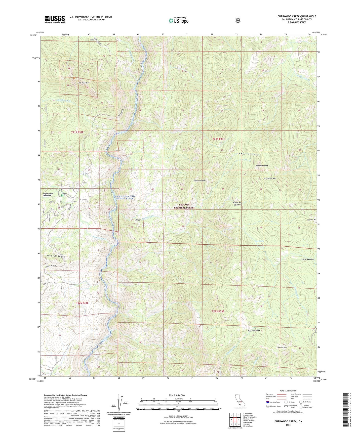
Durrwood Creek California US Topo Map
Couldn't load pickup availability
Also explore the Durrwood Creek Forest Service Topo of this same quad for updated USFS data
2021 topographic map quadrangle Durrwood Creek in the state of California. Scale: 1:24000. Based on the newly updated USGS 7.5' US Topo map series, this map is in the following counties: Tulare. The map contains contour data, water features, and other items you are used to seeing on USGS maps, but also has updated roads and other features. This is the next generation of topographic maps. Printed on high-quality waterproof paper with UV fade-resistant inks.
Quads adjacent to this one:
West: Sentinel Peak
Northwest: Camp Nelson
North: Hockett Peak
Northeast: Casa Vieja Meadows
East: Bonita Meadows
Southeast: Sirretta Peak
South: Fairview
Southwest: Johnsondale
This map covers the same area as the classic USGS quad with code o36118a4.
Contains the following named places: Bean Camp, Cedar Canyon, Durrwood Camp, Durrwood Creek, Freeman Creek, Lookout Mountain, Lower Peppermint Campground, Needle Camp, Needlerock Creek, Needles Lookout, North Meadow, Peppermint Creek, Peppermint Meadows, Rincon Trail, Sam Spring, Schaeffer Meadow, Schaeffer Mountain, Sherman Peak, Stony Meadow, The Needles