MyTopo
Hockett Peak California US Topo Map
Couldn't load pickup availability
Also explore the Hockett Peak Forest Service Topo of this same quad for updated USFS data
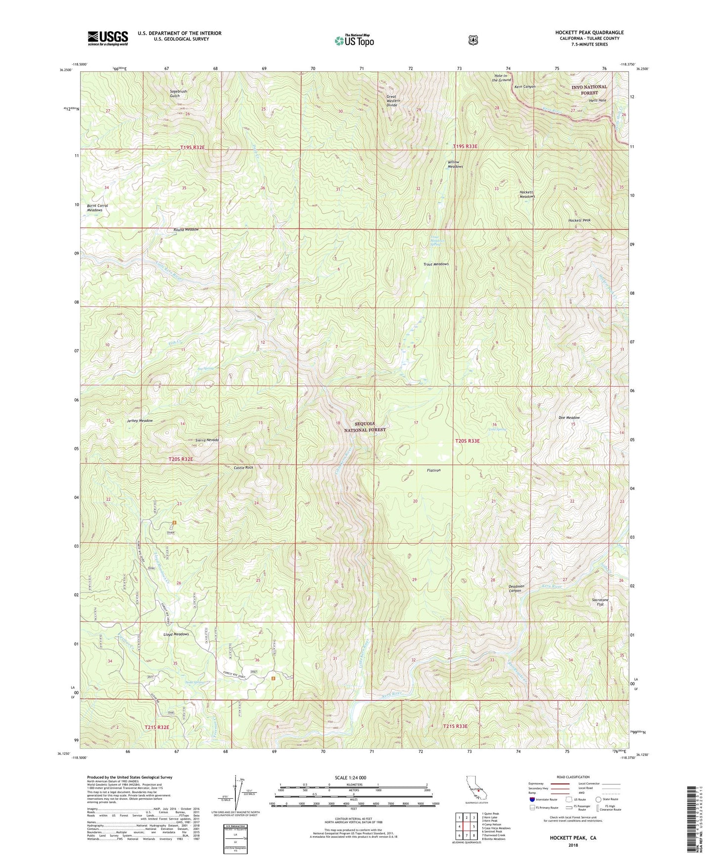
2021 topographic map quadrangle Hockett Peak in the state of California. Scale: 1:24000. Based on the newly updated USGS 7.5' US Topo map series, this map is in the following counties: Tulare. The map contains contour data, water features, and other items you are used to seeing on USGS maps, but also has updated roads and other features. This is the next generation of topographic maps. Printed on high-quality waterproof paper with UV fade-resistant inks.
Quads adjacent to this one:
West: Camp Nelson
Northwest: Quinn Peak
North: Kern Lake
Northeast: Kern Peak
East: Casa Vieja Meadows
Southeast: Bonita Meadows
South: Durrwood Creek
Southwest: Sentinel Peak
This map covers the same area as the classic USGS quad with code o36118b4.
Contains the following named places: Burnt Corral Meadows, Castle Rock, Cold Spring, Deadman Canyon, Deep Creek, Doe Meadow, Fish Creek, Flatiron, Forks of the Kern, Hells Hole, Hells Hole Creek, Hockett Meadows, Hockett Peak, Hole-in-the Ground, Jerkey Meadow, Jug Spring, Kern Canyon, Kern Wild and Scenic River, Little Kern River, Lloyd Meadows, Lloyd Meadows Creek, Lower Pylos Camp, Osa Creek, Pyles Camp, Rattlesnake Creek, Round Meadow, Sacratone Flat, Soda Creek, Soda Spring, Springville-Johnsondale Division, The Hazards, Trout Meadows, Trout Meadows Forest Service Station, Trout Meadows Spring, Upper Pyles Camp, Willow Meadows, Willow Meadows Campground