MyTopo
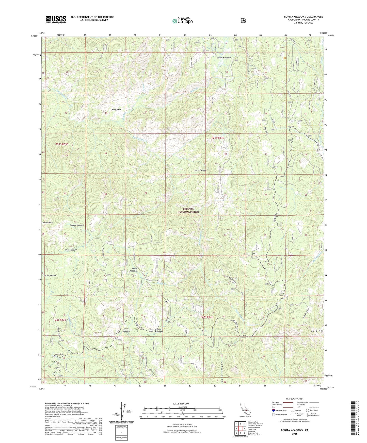
Bonita Meadows California US Topo Map
Couldn't load pickup availability
Also explore the Bonita Meadows Forest Service Topo of this same quad for updated USFS data
2021 topographic map quadrangle Bonita Meadows in the state of California. Scale: 1:24000. Based on the newly updated USGS 7.5' US Topo map series, this map is in the following counties: Tulare. The map contains contour data, water features, and other items you are used to seeing on USGS maps, but also has updated roads and other features. This is the next generation of topographic maps. Printed on high-quality waterproof paper with UV fade-resistant inks.
Quads adjacent to this one:
West: Durrwood Creek
Northwest: Hockett Peak
North: Casa Vieja Meadows
Northeast: Monache Mountain
East: Crag Peak
Southeast: Rockhouse Basin
South: Sirretta Peak
Southwest: Fairview
This map covers the same area as the classic USGS quad with code o36118a3.
Contains the following named places: Bald Mountain, Bald Mountain Lookout, Beach Creek, Beach Meadows, Beach Ridge, Black Rock Work Center, Blackrock Visitor Information Station, Bonita Creek, Bonita Flat, Bonita Meadows, Bonita Meadows Forest Service Facility, Corral Meadow, Curliss Meadow, Curliss Meadows Guard Station, Danner Meadow, Lion Creek, Paloma Meadows, West Meadow