MyTopo
El Capitan California US Topo Map
Couldn't load pickup availability
Also explore the El Capitan Forest Service Topo of this same quad for updated USFS data
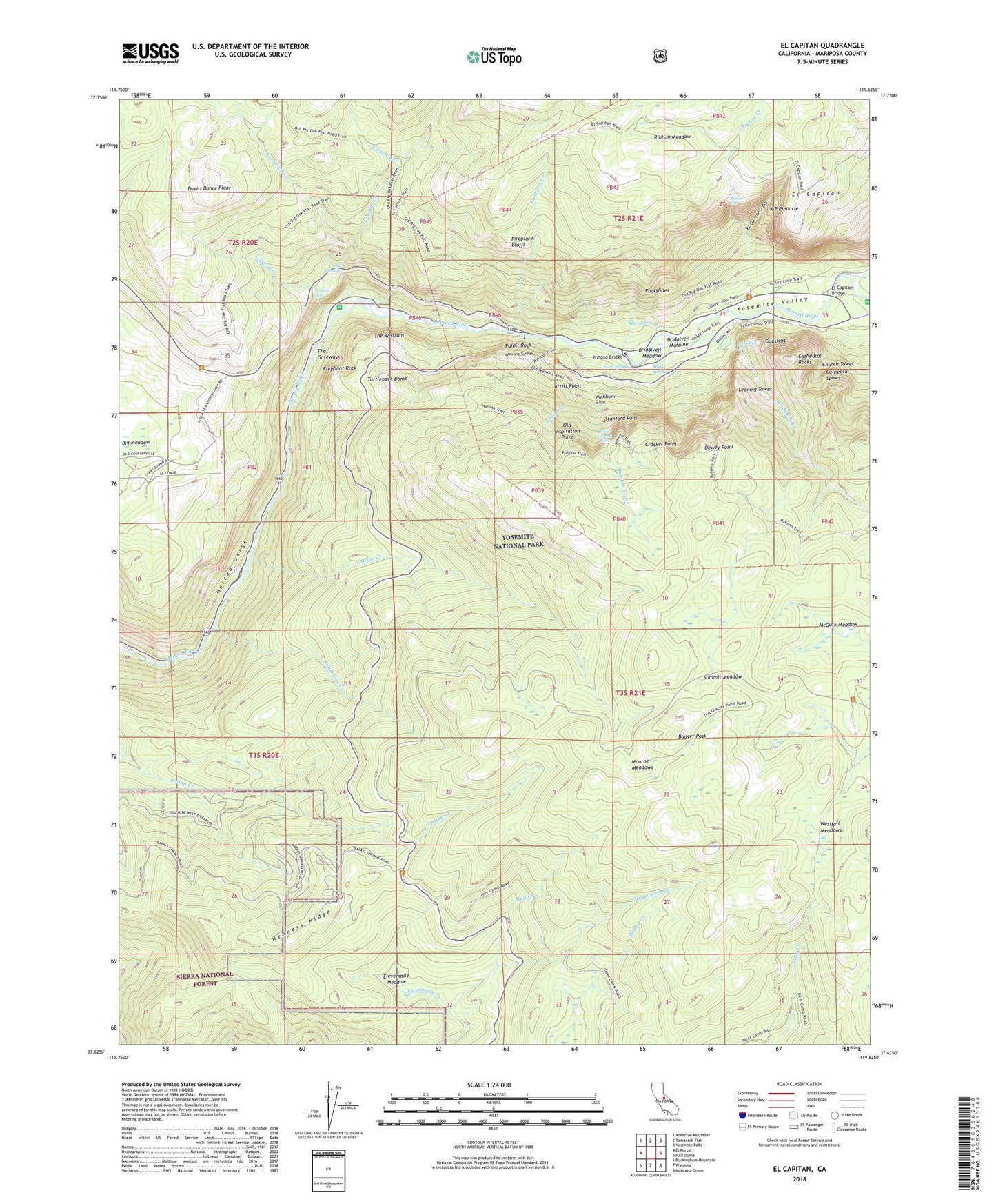
2021 topographic map quadrangle El Capitan in the state of California. Scale: 1:24000. Based on the newly updated USGS 7.5' US Topo map series, this map is in the following counties: Mariposa. The map contains contour data, water features, and other items you are used to seeing on USGS maps, but also has updated roads and other features. This is the next generation of topographic maps. Printed on high-quality waterproof paper with UV fade-resistant inks.
Quads adjacent to this one:
West: El Portal
Northwest: Ackerson Mountain
North: Tamarack Flat
Northeast: Yosemite Falls
East: Half Dome
Southeast: Mariposa Grove
South: Wawona
Southwest: Buckingham Mountain
This map covers the same area as the classic USGS quad with code o37119f6.
Contains the following named places: Arch Rock Entrance, Artist Creek, Artist Point, Avalanche Creek, Badger Pass, Badger Pass Ski Area, Black Spring, Bridalveil Creek, Bridalveil Fall, Bridalveil Meadow, Bridalveil Moraine, Cascade Creek, Cascade Dam, Cathedral Rocks, Cathedral Spires, Chinquapin, Church Tower, Coyote Creek, Crane Creek Census Designated Place, Crocker Point, Devils Dance Floor, Dewey Point, Discovery View, El Capitan, El Capitan Bridge, El Capitan Gully, El Capitan Meadow, El Capitan Moraine, El Capitan Picnic Area, El Capitan Trail, Elephant Rock, Elevenmile Meadow, Fern Spring, Fireplace Bluffs, Fireplace Creek, Fort Monroe, Grouse Creek, Gunsight, Henness Ridge, Henness Ridge Lookout, Inspiration Point, K P Pinnacle, Leaning Tower, McGurk Meadow, Meadow Brook, Merced Gorge, Merced Wild and Scenic River, Monroe Meadows, Moss Spring, Old Inspiration Point, Pohono Bridge, Pohono Trail, Pulpit Rock, Rail Creek, Rainbow View, Ribbon Creek, Ribbon Fall, Ribbon Meadow, Rockslides, Silver Strand Falls, Stanford Point, Strawberry Creek, Summit Meadow, Tamarack Creek, The Cascades, The Gateway, The Rostrum, Turtleback Dome, Valley View, Washburn Slide, Wawona Tunnel, Westfall Meadows, Wildcat Creek, Wildcat Falls, Yosemite Valley, Yosemite West, Yosemite West Census Designated Place, ZIP Code: 95389


