
MyTopo
Kneecap Ridge California US Topo Map
Couldn't load pickup availability
Also explore the Kneecap Ridge Forest Service Topo of this same quad for updated USFS data
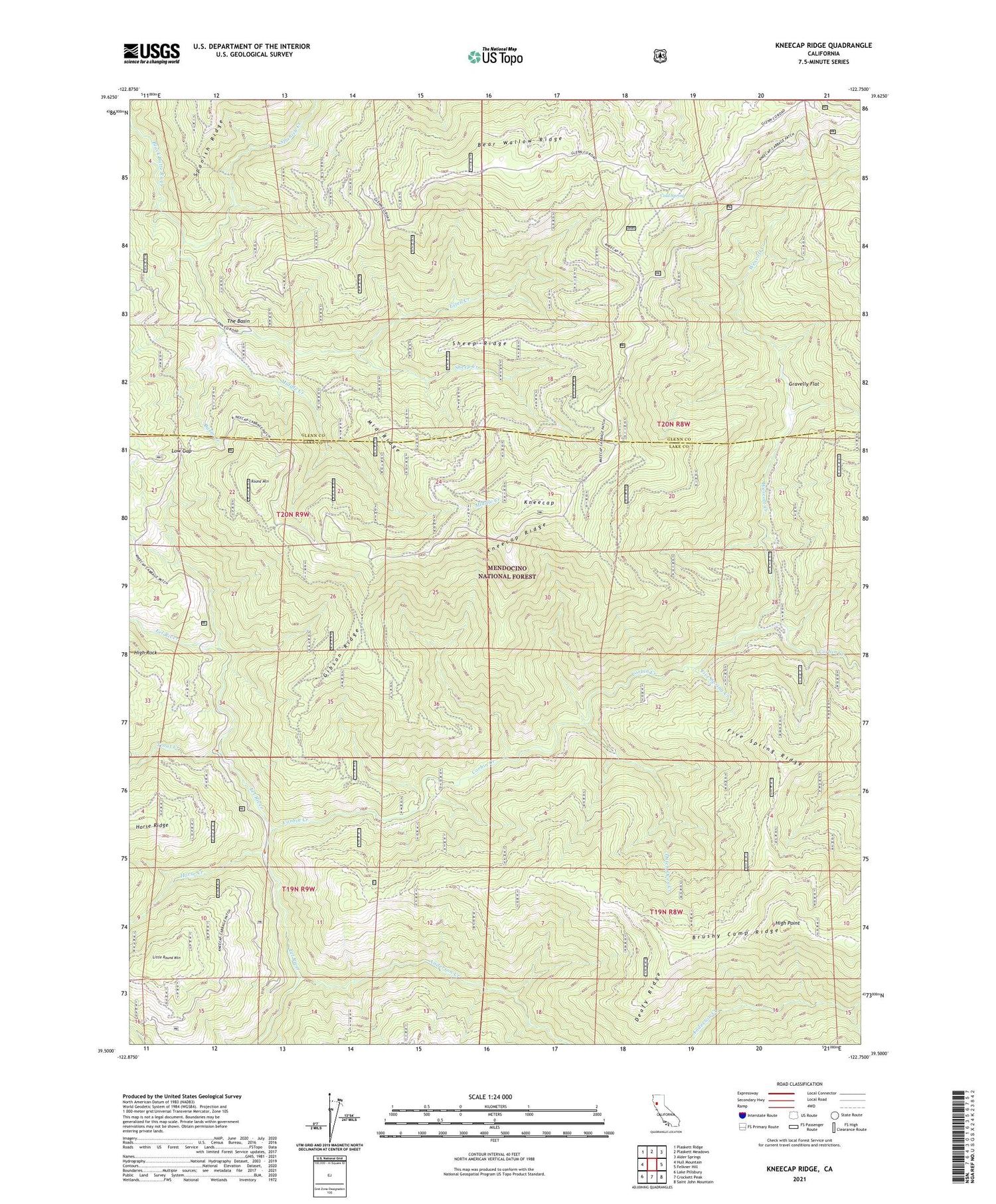
2021 topographic map quadrangle Kneecap Ridge in the state of California. Scale: 1:24000. Based on the newly updated USGS 7.5' US Topo map series, this map is in the following counties: Lake, Glenn. The map contains contour data, water features, and other items you are used to seeing on USGS maps, but also has updated roads and other features. This is the next generation of topographic maps. Printed on high-quality waterproof paper with UV fade-resistant inks.
Quads adjacent to this one:
West: Hull Mountain
Northwest: Plaskett Ridge
North: Plaskett Meadows
Northeast: Alder Springs
East: Felkner Hill
Southeast: Saint John Mountain
South: Crockett Peak
Southwest: Lake Pillsbury
This map covers the same area as the classic USGS quad with code o39122e7.
Contains the following named places: Anderson Creek, Basin Creek, Bear Wallow Ridge, Brushy Camp Ridge, Cold Spring, Corbin Creek, Corbin Work Center, Deafy Ridge, Dutch Oven Creek, Estell Creek, Five Spring Creek, Five Spring Ridge, Gibson Ridge, Gravelly Flat, High Point, High Rock, Horse Creek, Jolly Camp, Kneecap, Kneecap Ridge, Little Round Mountain, Low Gap, Middle Creek, Middle Ridge, Provence Cabin, Round Mountain, Sheep Creek, Sheep Ridge, Spanish Creek, The Basin, Trout Creek, Wescott Creek, White Horse Creek


