MyTopo
Fish Camp California US Topo Map
Couldn't load pickup availability
Also explore the Fish Camp Forest Service Topo of this same quad for updated USFS data
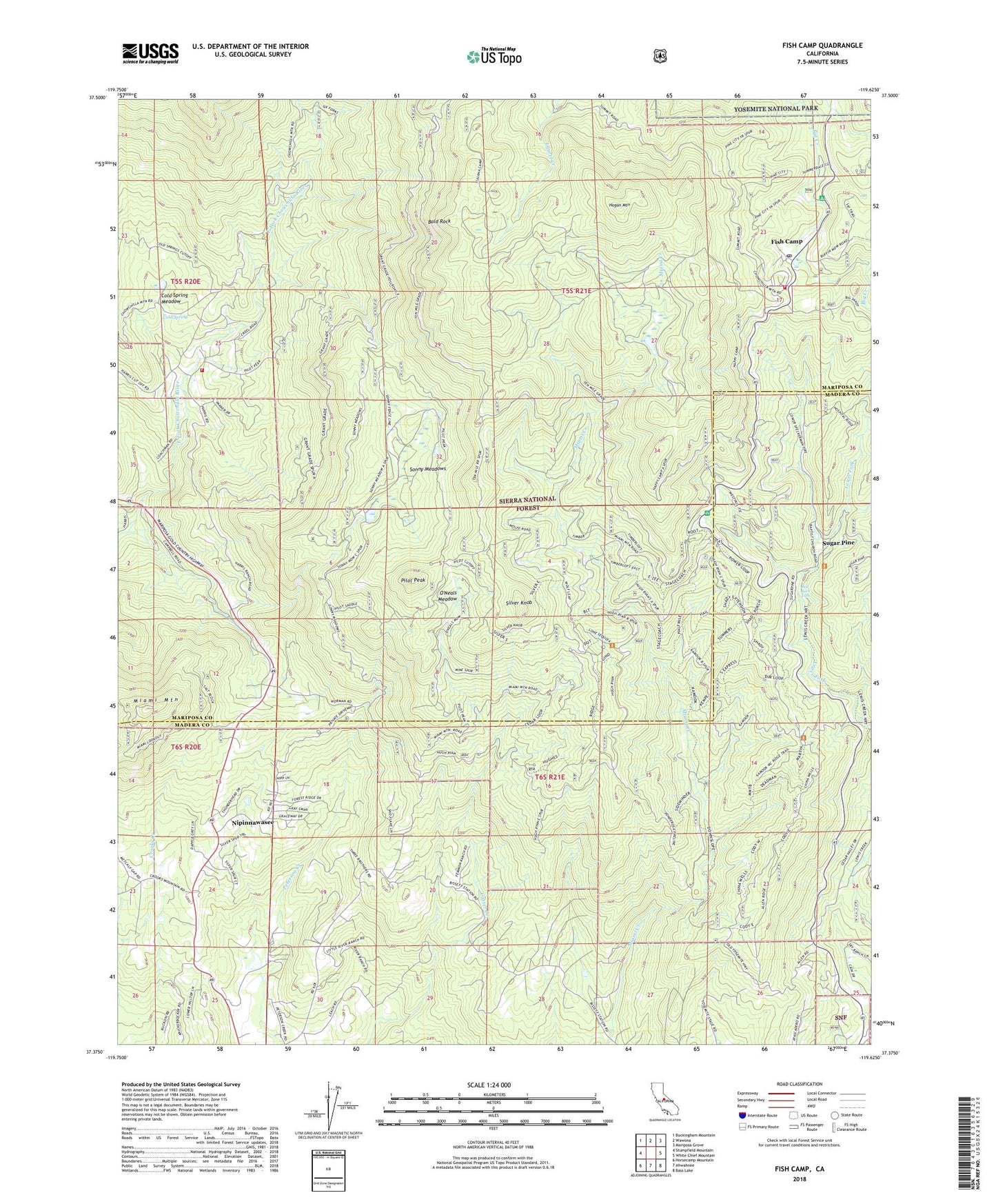
2021 topographic map quadrangle Fish Camp in the state of California. Scale: 1:24000. Based on the newly updated USGS 7.5' US Topo map series, this map is in the following counties: Mariposa, Madera. The map contains contour data, water features, and other items you are used to seeing on USGS maps, but also has updated roads and other features. This is the next generation of topographic maps. Printed on high-quality waterproof paper with UV fade-resistant inks.
Quads adjacent to this one:
West: Stumpfield Mountain
Northwest: Buckingham Mountain
North: Wawona
Northeast: Mariposa Grove
East: White Chief Mountain
Southeast: Bass Lake
South: Ahwahnee
Southwest: Horsecamp Mountain
This map covers the same area as the classic USGS quad with code o37119d6.
Contains the following named places: Ahwahnee Sanatorium, Bald Rock, Batterson Station, Burford, Cedarbrook, China Wells, Cold Spring, Cold Spring Meadow, Cunningham School, Fish Camp, Fish Camp Census Designated Place, Fish Camp Post Office, Happy Camp, Harris Family Cemetery, Harris Ranch, Harris Ranch Mill, Hogan Mountain, KAAT-FM (Oakhurst), Lone Sequoia Campground, Manzanita Airport, Mariposa County Fire Department Company 32 Ponderosa Basin, Mariposa County Fire Department Company 33 Fish Camp, Miami Mountain, Miami Mountain Lookout, Nipinnawasee, Nipinnawasee Census Designated Place, O'Neals Meadow, Pilot Peak, Ponderosa Basin, Red Rock Falls, Silver Knob, Sonny Meadows, Sugar Pine, Summerdale Campground, Timberloft, Westfall Picnic Area, Westfall Station, Worman Mill, Yosemite Mountain Sugar Pine Historical Railroad, ZIP Codes: 93601, 93623, 93644


