MyTopo
Greek Store California US Topo Map
Couldn't load pickup availability
Also explore the Greek Store Forest Service Topo of this same quad for updated USFS data
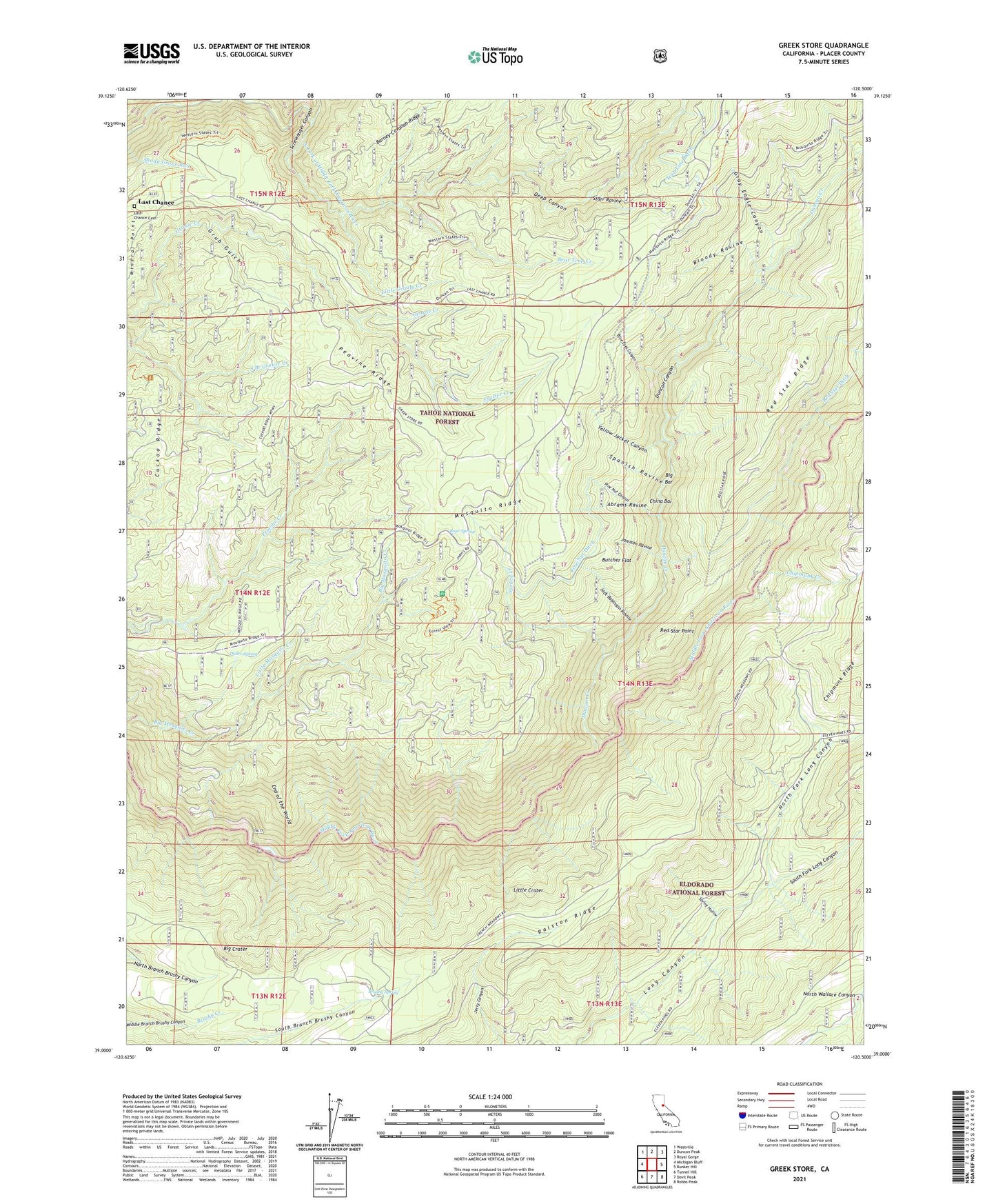
2021 topographic map quadrangle Greek Store in the state of California. Scale: 1:24000. Based on the newly updated USGS 7.5' US Topo map series, this map is in the following counties: Placer. The map contains contour data, water features, and other items you are used to seeing on USGS maps, but also has updated roads and other features. This is the next generation of topographic maps. Printed on high-quality waterproof paper with UV fade-resistant inks.
Quads adjacent to this one:
West: Michigan Bluff
Northwest: Westville
North: Duncan Peak
Northeast: Royal Gorge
East: Bunker Hill
Southeast: Robbs Peak
South: Devil Peak
Southwest: Tunnel Hill
This map covers the same area as the classic USGS quad with code o39120a5.
Contains the following named places: Abrams Ravine, Beaman Ledge Mine, Bear Spring, Bear Trap Creek, Big Bar, Big Crater, Big Tree Grove Campground, Big Tree Grove Picnic Area, Big Tree Nature Trail, Bloody Ravine, Blue Eyes Canyon, Brushy Spring, Brushy Spring Guard Station, Butcher Flat, China Bar, Chipmunk Creek, Cuckoo Ridge, Deep Canyon, Deep Canyon Mine, Deller Spring, Dixie Queen Mine, Duncan Canyon, Duncan Creek, Eldorado Mine, End of the World, Forest View Trail, Foresthill-Back Country Division, Frazier Creek, French House, Goggins, Goggins Mine, Gold Dollar Mine, Gold Dollar Trail, Golden Riffle Mine, Granite Mine, Gray Eagle Canyon, Greek Store Guard Station, Greekstore, Grizzly Mine, Grub Gulch, Hard Climb Mine, Home Ticket Mine, Interbay 1030-003 Dam, Jack Robinson Mine, Jack Robinson Ravine, Jamison Ravine, Last Chance, Last Chance Cemetery, Little Crater, Little Grizzly Creek, Little Hope Mine, Little Mosquito Creek, Lower Glenn Mine, Lower Meadow Trail, McKinley Mine, Millers Defeat, Mineral Point, Missouri Flat Mine, North Fork Long Canyon, Ox Yoke Mine, Pat Tuck Mine, Pay Day Number One Mine, Peavine Ridge, Pine Nut Canyon, Pine Nut Ditch, Pine Nut Mine, Placer County Grove Sierra Redwoods, Ralston Ridge, Red Star Ditch, Red Star Mine, Red Star Point, Root Hog Mine, Sauer Kraut Bite Mine, Schlein Trail, Screwauger Canyon, Sharp Stick Mine, Sierra View Mines, South Fork Long Canyon, Spanish Ravine, Spring Hollow, Spruce Creek, Star Town, Star Town Mine, Starr Ravine, Trap Line Ditch, Trap Line Mine, Upper Glenn Mine, White Mine, Yellow Jacket Canyon, Yellow Jacket Mine


