MyTopo
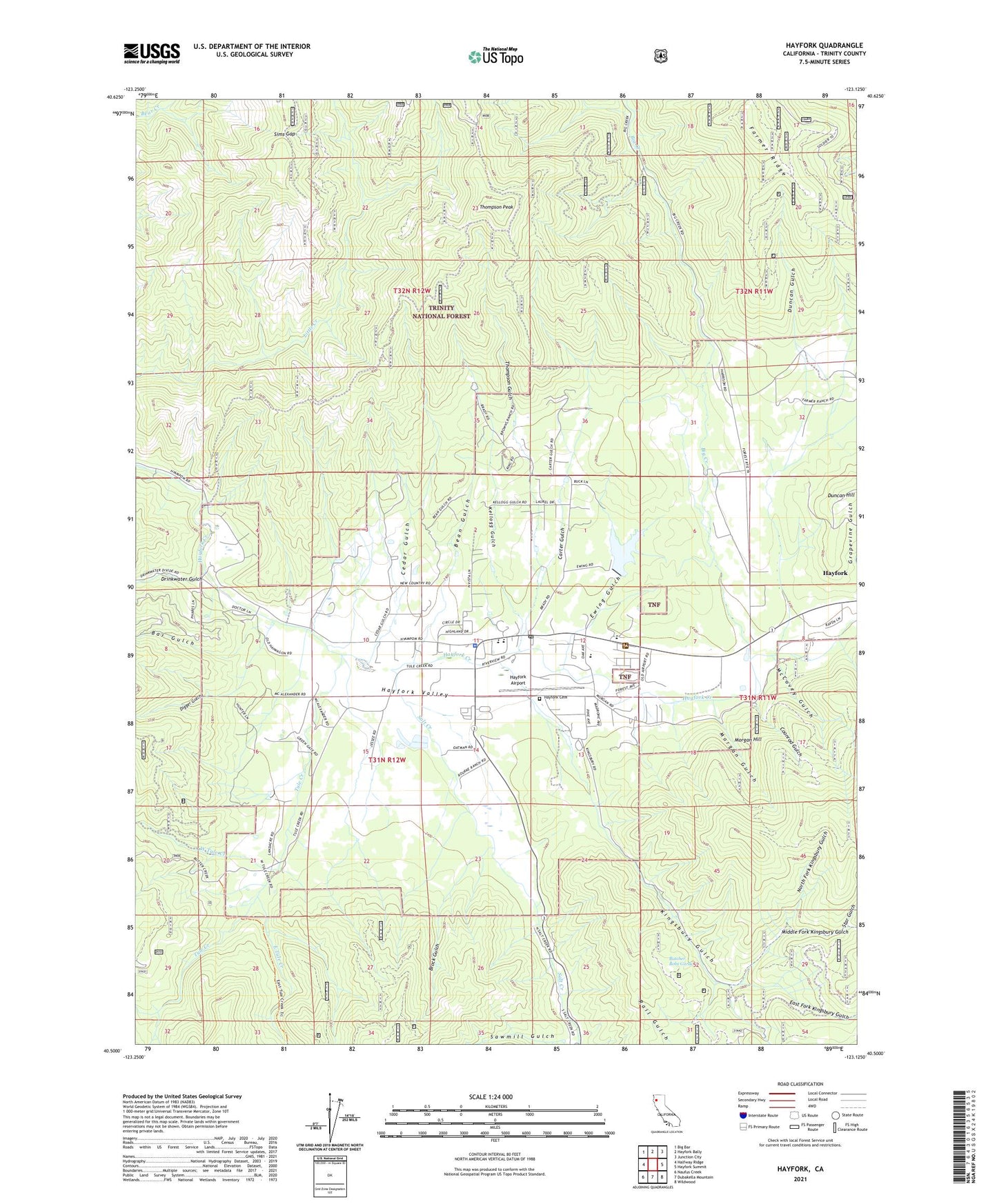
Hayfork California US Topo Map
Couldn't load pickup availability
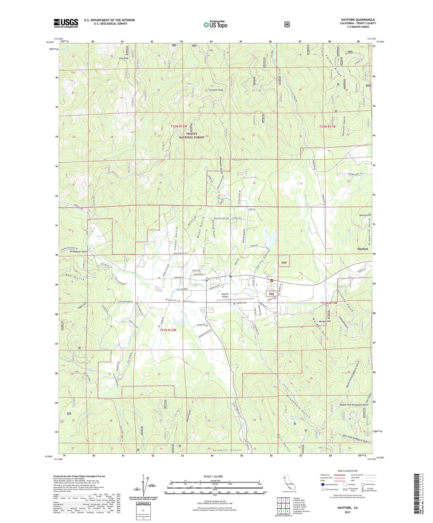
Also explore the Hayfork Forest Service Topo of this same quad for updated USFS data
2021 topographic map quadrangle Hayfork in the state of California. Scale: 1:24000. Based on the newly updated USGS 7.5' US Topo map series, this map is in the following counties: Trinity. The map contains contour data, water features, and other items you are used to seeing on USGS maps, but also has updated roads and other features. This is the next generation of topographic maps. Printed on high-quality waterproof paper with UV fade-resistant inks.
Quads adjacent to this one:
West: Halfway Ridge
Northwest: Big Bar
North: Hayfork Bally
Northeast: Junction City
East: Hayfork Summit
Southeast: Wildwood
South: Dubakella Mountain
Southwest: Naufus Creek
This map covers the same area as the classic USGS quad with code o40123e2.
Contains the following named places: Bar Gulch, Bean Gulch, Big Creek, Big Creek Ranch, Brock Gulch, Butcher Bobs Garden, Carter Gulch, Cedar Gulch, Coonrod Gulch, Digger Gulch, Drinkwater Gulch, Duncan Gulch, Duncan Hill, East Fork Kingsbury Gulch, East Tule Creek, Ewing 1072 Dam, Ewing Gulch, Ewing Reservoir, Farmer Mine, Hayfork, Hayfork Airport, Hayfork Branch Trinity County Library, Hayfork Cemetery, Hayfork Census Designated Place, Hayfork High School, Hayfork Park, Hayfork Post Office, Hayfork Ranger District Station, Hayfork Valley, Hayfork Valley Elementary School, Kellogg Gulch, Kellogg Mine, Kelly Mine, Kingsbury Gulch, Layman Mine, Luckie Place, Luckie Trail, McCovey Gulch, Middle Fork Kingsbury Gulch, Morgan Gulch, Morgan Hill, North Fork Kingsbury Gulch, Salt Creek, Sims Gap, Star Gulch, Thompson Gulch, Thompson Peak, Trinity County Fairgrounds, Trinity County Sheriff's Office Substation, Tule Creek, West Tule Creek, ZIP Code: 96041