MyTopo
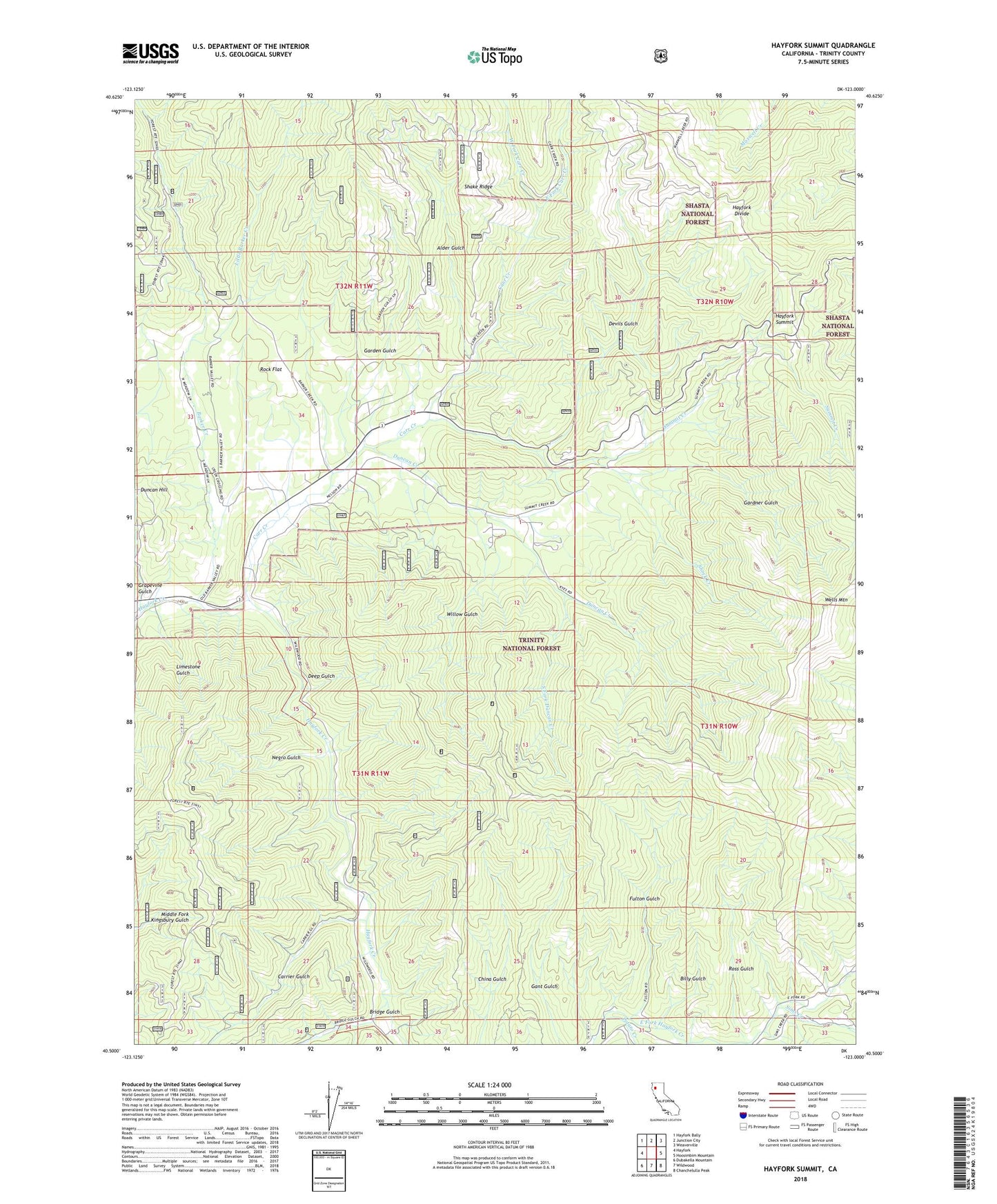
Hayfork Summit California US Topo Map
Couldn't load pickup availability
Also explore the Hayfork Summit Forest Service Topo of this same quad for updated USFS data
2022 topographic map quadrangle Hayfork Summit in the state of California. Scale: 1:24000. Based on the newly updated USGS 7.5' US Topo map series, this map is in the following counties: Trinity. The map contains contour data, water features, and other items you are used to seeing on USGS maps, but also has updated roads and other features. This is the next generation of topographic maps. Printed on high-quality waterproof paper with UV fade-resistant inks.
Quads adjacent to this one:
West: Hayfork
Northwest: Hayfork Bally
North: Junction City
Northeast: Weaverville
East: Hoosimbim Mountain
Southeast: Chanchelulla Peak
South: Wildwood
Southwest: Dubakella Mountain
This map covers the same area as the classic USGS quad with code o40123e1.
Contains the following named places: Alder Gulch, Barker Creek, Billy Gulch, Bridge Gulch, Carr Creek, Carrier Gulch, Cope and Johnson Mine, Deep Gulch, Devils Gulch, Duncan Creek, East Fork Carr Creek, East Fork Hayfork Creek, Fulton Gulch, Garden Gulch, Gardner Gulch, Grapevine Gulch, Hayfork Summit, Limestone Gulch, Little Barker Creek, Mueller Mine, Negro Gulch, North Fork East Fork Hayfork Creek, Potato Creek, Rock Flat, Rose Gulch, Scorpion Mine, Shake Ridge, Shock Creek, Sims Creek, South Fork Duncan Creek, Staffords Crossing, Summit Creek, Wells Mountain, West Fork Carr Creek, Willow Gulch