MyTopo
Jim Jam Ridge California US Topo Map
Couldn't load pickup availability
Also explore the Jim Jam Ridge Forest Service Topo of this same quad for updated USFS data
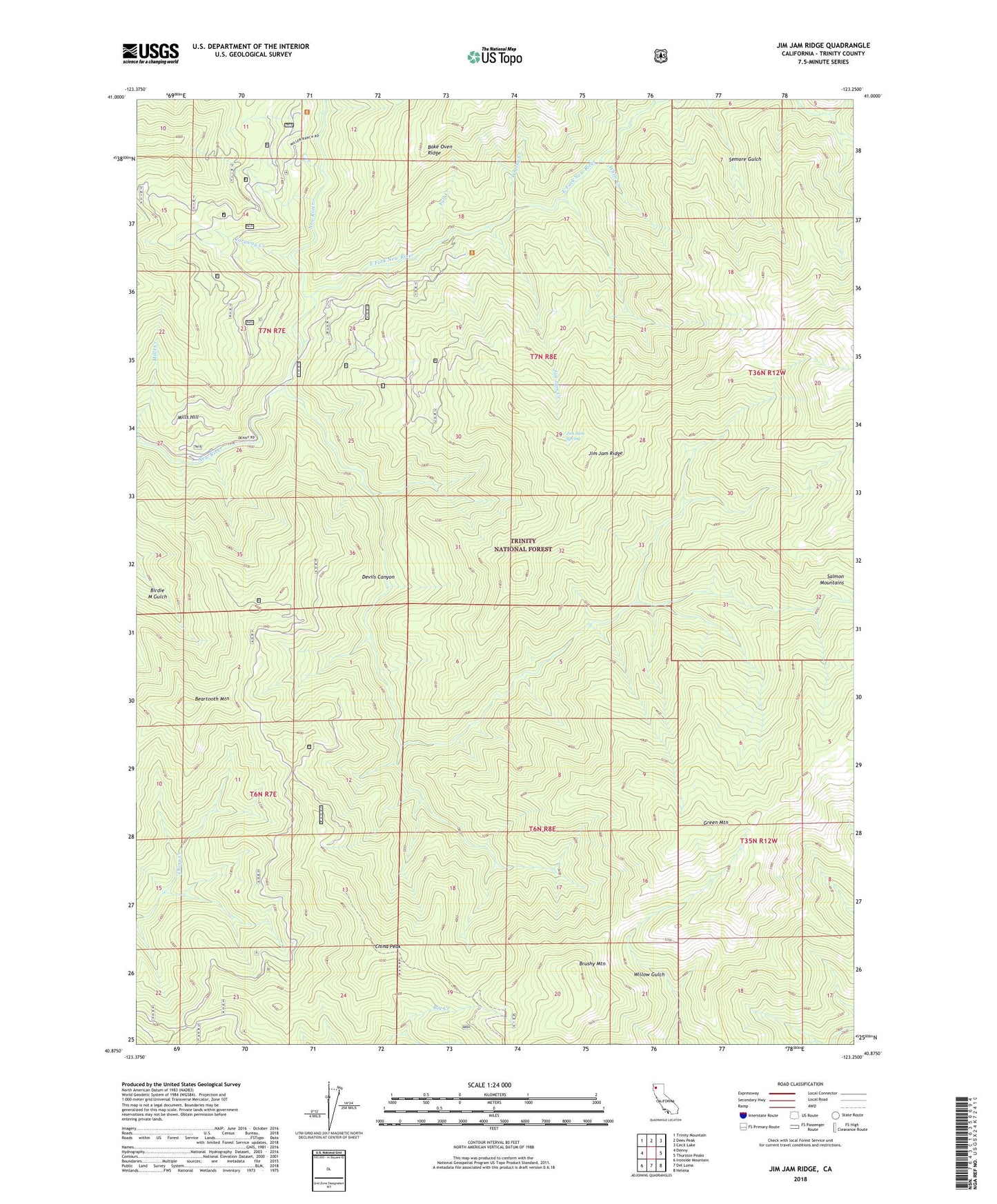
2022 topographic map quadrangle Jim Jam Ridge in the state of California. Scale: 1:24000. Based on the newly updated USGS 7.5' US Topo map series, this map is in the following counties: Trinity. The map contains contour data, water features, and other items you are used to seeing on USGS maps, but also has updated roads and other features. This is the next generation of topographic maps. Printed on high-quality waterproof paper with UV fade-resistant inks.
Quads adjacent to this one:
West: Denny
Northwest: Trinity Mountain
North: Dees Peak
Northeast: Cecil Lake
East: Thurston Peaks
Southeast: Helena
South: Del Loma
Southwest: Ironside Mountain
This map covers the same area as the classic USGS quad with code o40123h3.
Contains the following named places: Beartooth Mountain, Brushy Mountain, Caraway Creek, China Peak, Clems Camp, Devils Canyon, East Fork New River, East Fork Trailhead Parking, Fall Creek, Green Mountain, Hailstone Camp, Jakes Hunting Ground, Jakes Lower Camp, Jim Jam Creek, Jim Jam Ridge, Jim Jam Spring, Miller Ranch, Mills Creek, Mills Hill, Northwest Trinity Division, Panther Camp, Pony Creek, Stove Camp, Whisky Creek, White Creek, ZIP Code: 96010