MyTopo
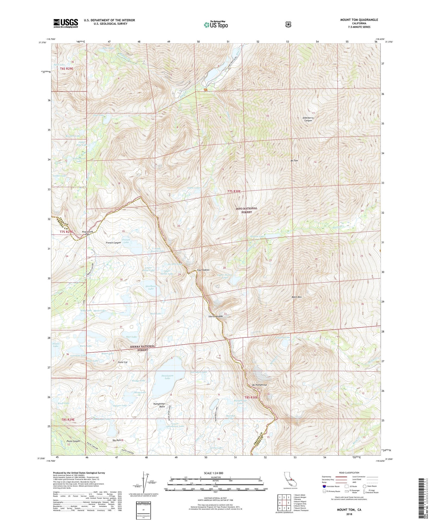
Mount Tom California US Topo Map
Couldn't load pickup availability
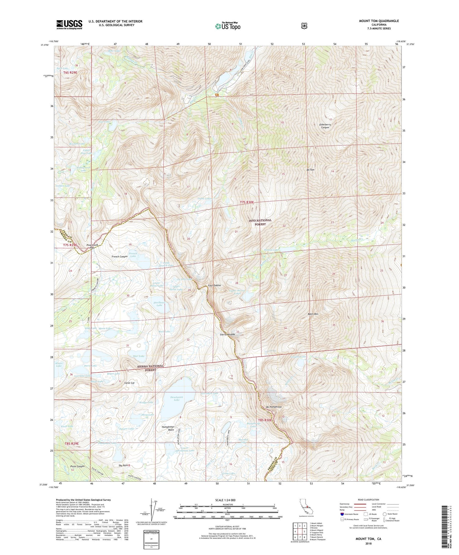
Also explore the Mount Tom Forest Service Topo of this same quad for updated USFS data
2021 topographic map quadrangle Mount Tom in the state of California. Scale: 1:24000. Based on the newly updated USGS 7.5' US Topo map series, this map is in the following counties: Inyo, Fresno. The map contains contour data, water features, and other items you are used to seeing on USGS maps, but also has updated roads and other features. This is the next generation of topographic maps. Printed on high-quality waterproof paper with UV fade-resistant inks.
Quads adjacent to this one:
West: Mount Hilgard
Northwest: Mount Abbot
North: Mount Morgan
Northeast: Rovana
East: Tungsten Hills
Southeast: Mount Thompson
South: Mount Darwin
Southwest: Mount Henry
This map covers the same area as the classic USGS quad with code o37118c6.
Contains the following named places: Alsace Lake, Basin Mountain, Bear Lake, Birchim Lake, Blanc Lake, Blue Grouse Prospect, Brownstone Mine, Carol Col, Cony Lake, Desolation Lake, Elba Lake, Forsaken Lake, Four Gables, French Lake, Gable Creek, Gable Lakes, Gable Lakes Trailhead, Golden Lake, Hanging Valley Mine, Honeymoon Lake, Horton Lake, Humphreys Basin, Humphreys Lakes, Knob Lake, La Tete Lake, Lakeview Mine, Lambert Mine, Little French Lake, Little Lake, Longley 104-031 Dam, Longley Lake, Lorraine Lake, Lower Desolation Lake, Lower Petite Lake, Marmot Lake, Mesa Lake, Moon Lake, Morgan Creek, Mount Humphreys, Mount Tom, Mountain Basin Prospect, Paris Lake, Pine Creek Mine, Pine Creek Mine-Zero Adit, Pine Creek Pack Station, Pine Creek Pass, Pine Creek Trailhead, Pine Creek Tungsten Mill, Pine Lake, Puppet Lake, Roget Lake, Rust Lake, Sky Point, Split Lake, Square Lake, Star Lake, Steelhead Lake, Sunny Boy Prospect, Tomahawk Lake, Tungstar Mine, Upper Horton Lakes, Upper Petite Lake, Upper Pine Lake, Wedge Lake