MyTopo
Seventeen Palms California US Topo Map
Couldn't load pickup availability
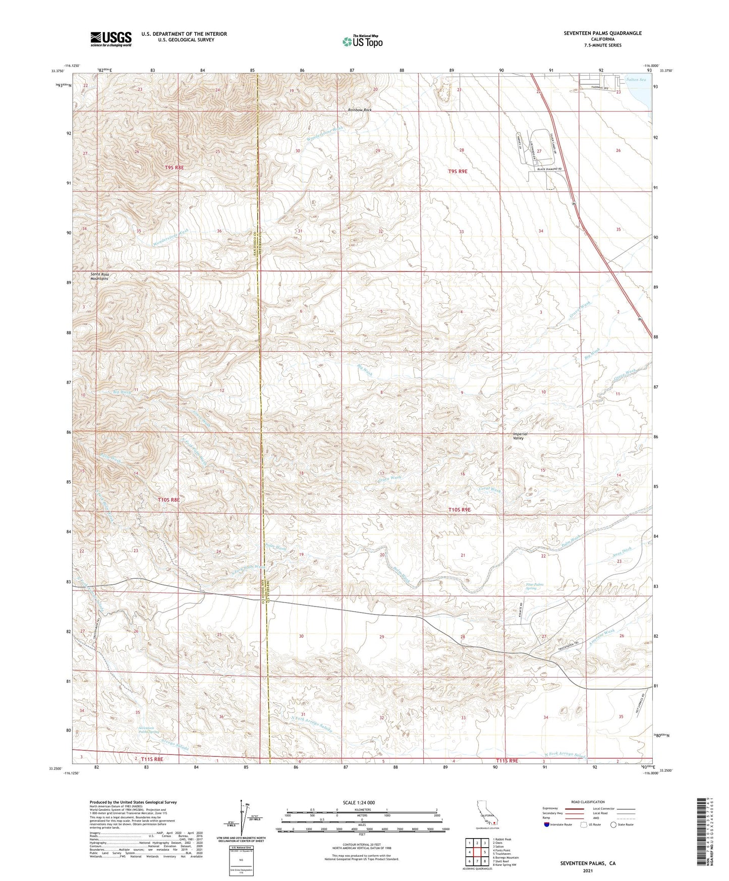
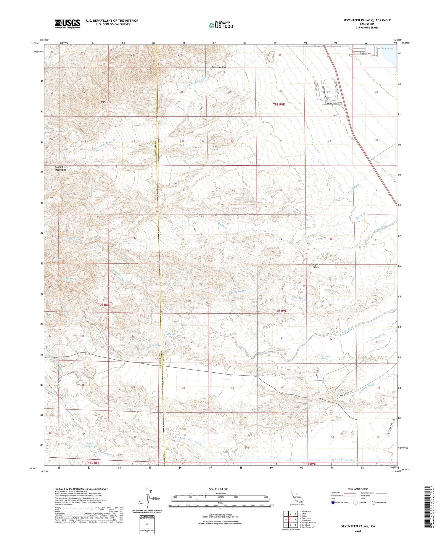
2021 topographic map quadrangle Seventeen Palms in the state of California. Scale: 1:24000. Based on the newly updated USGS 7.5' US Topo map series, this map is in the following counties: Imperial, San Diego. The map contains contour data, water features, and other items you are used to seeing on USGS maps, but also has updated roads and other features. This is the next generation of topographic maps. Printed on high-quality waterproof paper with UV fade-resistant inks.
Quads adjacent to this one:
West: Fonts Point
Northwest: Rabbit Peak
North: Oasis
Northeast: Salton
East: Truckhaven
Southeast: Kane Spring NW
South: Shell Reef
Southwest: Borrego Mountain
This map covers the same area as the classic USGS quad with code o33116c1.
Contains the following named places: Calcite Mine, Calcite Road, Four Palms Spring, Hazard Fish Springs Pit, North Fork Palm Wash, Rainbow Rock, Salton Sea Beach Volunteer Fire Department, Salton Sea Service Station, Seventeen Palms, Seventeen Palms Spring, South Fork Palm Wash, Truckhaven Trail